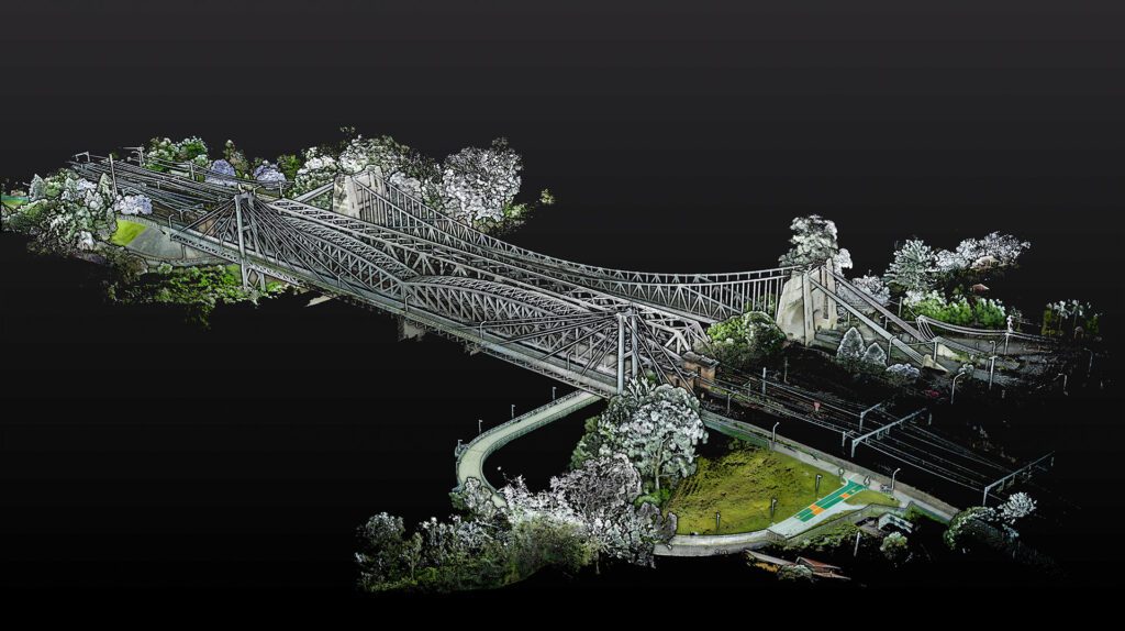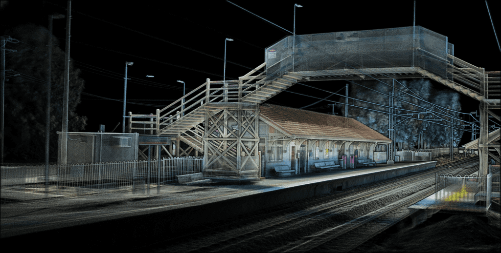
Detailed LiDAR Capture in Drone-Denied Areas
Detailed LiDAR Capture in Drone-Denied Areas Linkedin Facebook Instagram Youtube Reading time: 4 Minutes Download Data 30/11/22 Written By Shaun Coghlan As more forms of mobile scanning have appeared over the years, One method of LiDAR capture has always ruled the sky. But what happens when the skies are off-limits? While drone-based LiDAR capture …