
What is Cloud Management Software?
Over the years an assortment of different surveying companies have released their own, varying in quality “Point Cloud Management Software”.
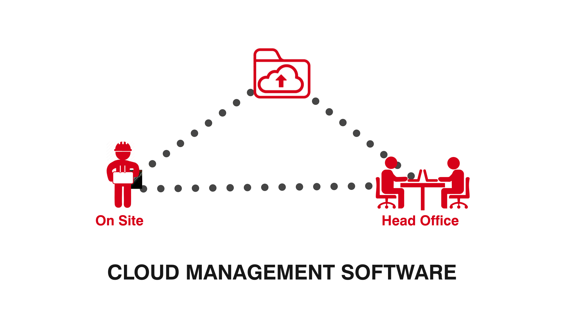
These online programs are used to store, transfer and manage “3D point cloud maps” for viewing and analysis by additional off-site team members
such as Project Managers and Architects.
How does Point Cloud Management Software Work?
While every company’s software works slightly different, many of these programs are built off the same cloud engine and offer similar tools and benefits.
This software offers an in-browser cloud viewing solution that allows you to explore captured point clouds in a 3D environment. Whether to assess site progress or ensure that architectural plans are being followed, these programs offer several annotation tools and services to effortlessly link your team throughout your construction journey.
Where Can I Find a Free Point Cloud Management Software?
Constantly being updated to meet the ever-growing needs of the construction industry, AutoMap’s OrbisFuse program is a free cloud
management software available via application. Including the standard tools of other cloud management software, Orbisfuse goes above and beyond
by offering additional tools such as animation capture, on site Camera feeds and so much more.
Stay Linked to your team and find out about OrbisFuse below:
Benefits of using Cloud Management Software
Collaboration
The ideal solution for connecting your team both on and off-site, in-browser software such as AutoMap’s OrbisFuse, are accessible from anywhere in the world. Connecting Architects, Project Managers and Surveyors, this program allows for an unlimited amount of team members to view, assess and share notes on uploaded point cloud maps.
Conformance
Using in-built measurement and volumetric tools, this software allows your team members to accurately record on-site data without ever needing to leave the office. These tools are the perfect way to track site progress, establishing a visual connection between architechial plans and construction site layout.
Clean workflow
One of the largest benefits of cloud-based programs is their ability to seamlessly transfer point cloud captures straight from your systems terminal to the online cloud. Drastically cutting down post production time, removing the need for post-processing or USB transfers. Additionally, software such as OrbisFuse automatically converts your Ply cloud files into LAS files allowing for instant integration with GeoSpatial programs such as Cyclone. Allowing you to access your data faster.

