Capture accurate maps of complex infrastructure by walking around using the vest-mount accessory. Digitise assets that would otherwise be difficult and time-consuming to capture using the latest WildcatSLAM technology. Use hard-ware synchonised 360 degree video to autmatically colourise busy spaces. Seamless integration of the SLAM pipeline with RTK GPS ensurest that maps are accurate and on-datum.
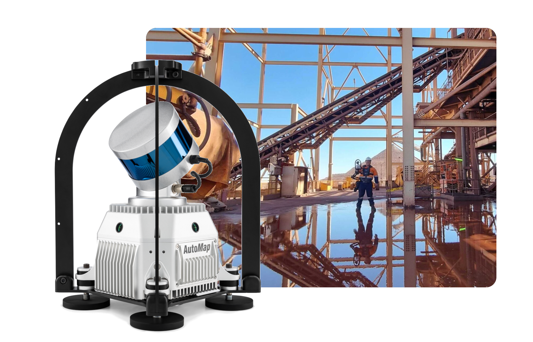
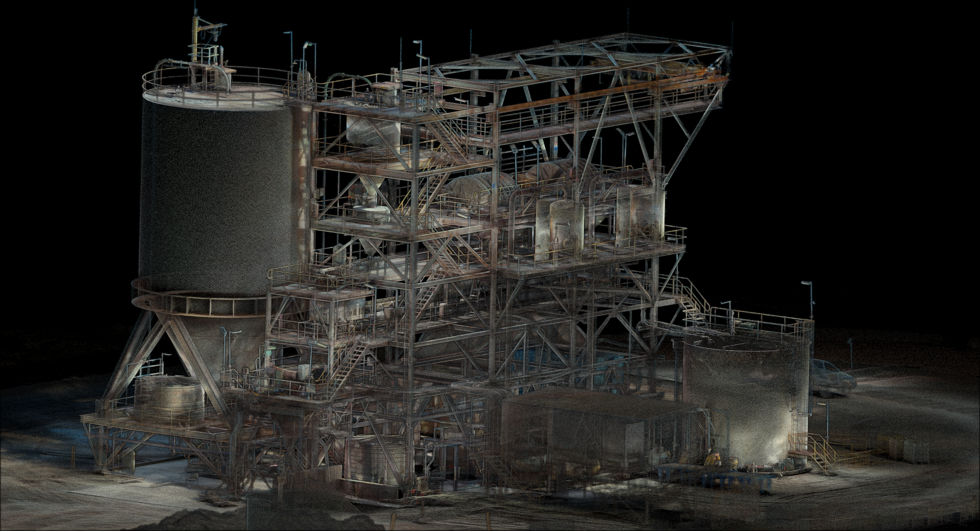
Rapidly capture survey data for CAD modelling of complex plant infrastructure from the ground. Ensure that there are no shadows of occlusions within the map by traversing the full-extent of busy plants to ensure that complete recordings of the asset is capture the first time, every time!