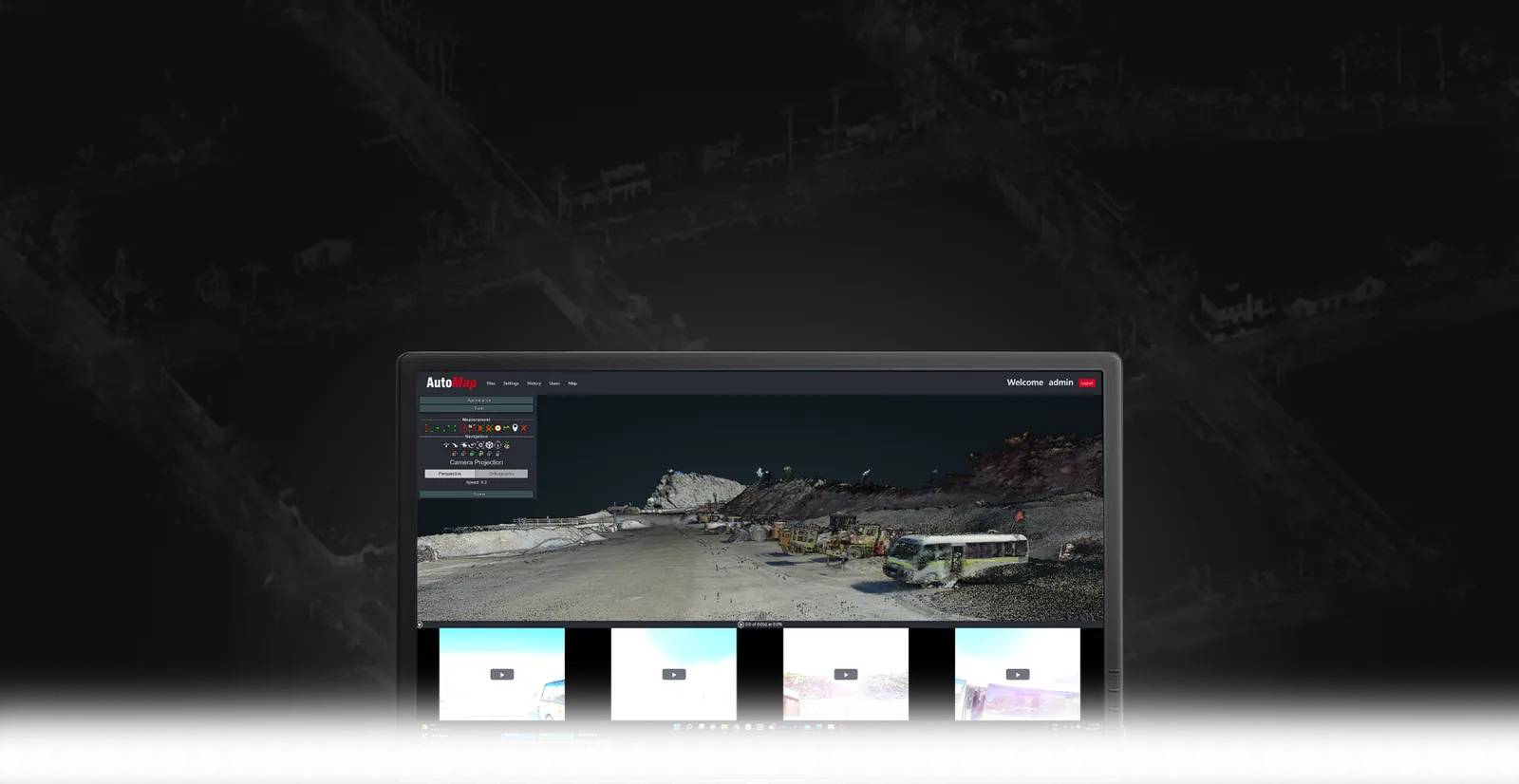
Built for demanding underground capture.
An IP64-rated, rugged SLAM system built for the toughest reality-capture jobs — mines, tunnels, shafts, declines, drawpoints. Deployed on foot, vehicle, or robotic platforms. Same-day .las or .ply outputs, on device.
- ▸ Tough and ruggedised
- ▸ Built for mining and harsh construction environments
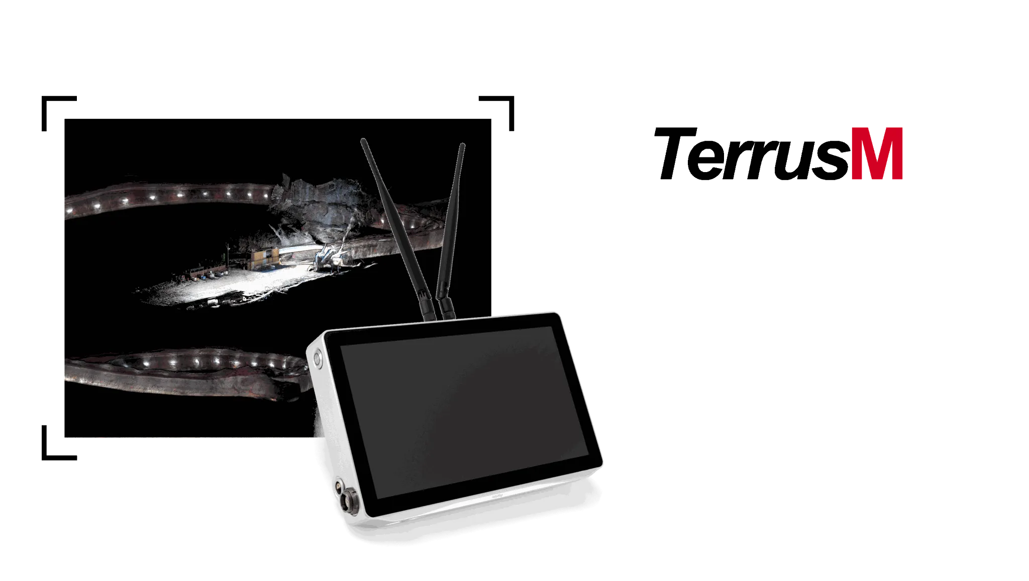
What makes TerrusM different.
Built for harsh environments
IP64-rated protection for dust and splashing water, with a balanced setup for constrained access.
360° 4K colourisation
Hardware-synchronised cameras around the sensor pack add true-colour context to every point in the cloud.
Ultra-low drift
WildcatSLAM estimates a connected trajectory. Use appropriate control and independent checks when the result must align to a site grid.
Shaft & drawpoint kits
Accessory ecosystem extends TerrusM to vertical shafts, declines, and drawpoint scanning workflows.
Same-day outputs
On-device processing produces .las or .ply formats — share before you leave site.
Stream to cloud
Direct upload into OrbisFuse for measurement, annotation, and team sharing.
From capture to digital twin.
- Step 01
Deploy
Walk, drive, or lower TerrusM into the environment. The sensor pack is ready in seconds.
- Step 02
Map
WildcatSLAM tracks the trajectory underground; 4K cameras add colour without breaking sync.
- Step 03
Export
Generate .las or .ply on-device. Push to OrbisFuse or hand off to your GIS pipeline directly.