Capture complex places. Keep moving forward.
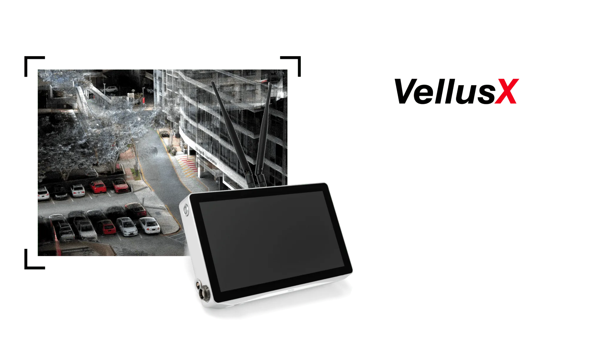
A compact, lightweight sensor pack that fuses WildcatSLAM odometry with RTK-GPS. Walk it, drive it, or place it on a robot to capture survey-grade colourised maps over long distances and across GPS-denied environments.
What makes VellusX different.
RTK and PPK GPS fusion
Combines GPS receivers with WildcatSLAM odometry to keep global accuracy intact when satellites disappear.
360° 4K colourisation
Hardware-synchronised cameras paint every point with true colour — no post-alignment guesswork.
GPS-denied transitions
Walk from rooftop to basement to street without restarting. The map stays coherent the whole way.
Cloud streaming
Captures flow straight to OrbisFuse for processing, sharing, and measurement.
Walk or drive
Mount it on a vehicle, a backpack, or an autonomous platform. The pipeline adapts to the speed.
Lightweight & rugged
Built for long days outdoors. IP64-rated, balanced, and designed for field use.
From capture to digital twin.
- Step 01
Capture
Power on, start moving. VellusX records LiDAR, IMU, 4K video, and RTK-GPS in lock-step.
- Step 02
Process
Process the recording through the configured WildcatSLAM workflow, then check coverage, alignment and the project acceptance criteria.
- Step 03
Deliver
Stream the .las or .ply to OrbisFuse, share with stakeholders, measure in the browser.