TerrusM
Fast and Accurate Underground Mapping
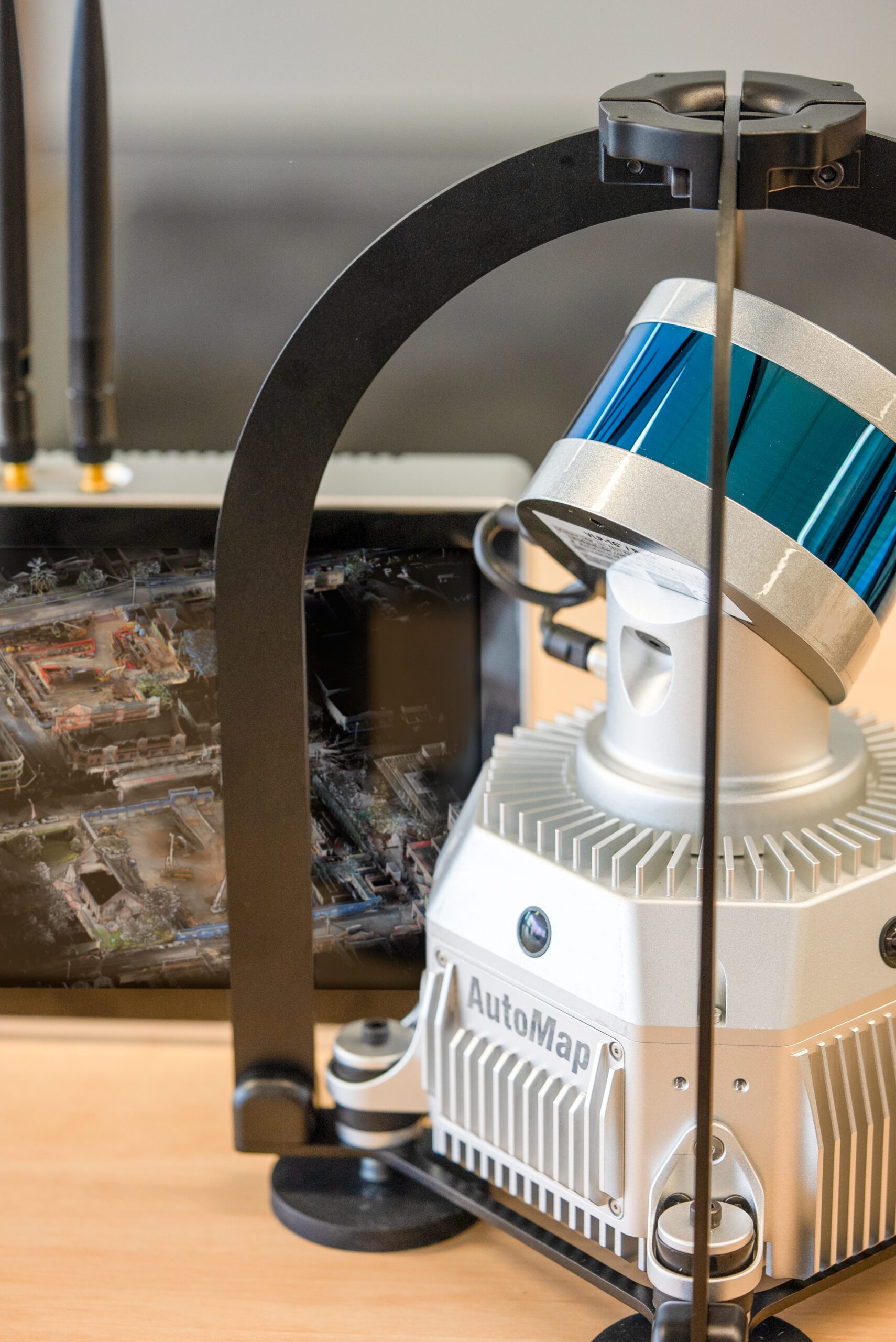
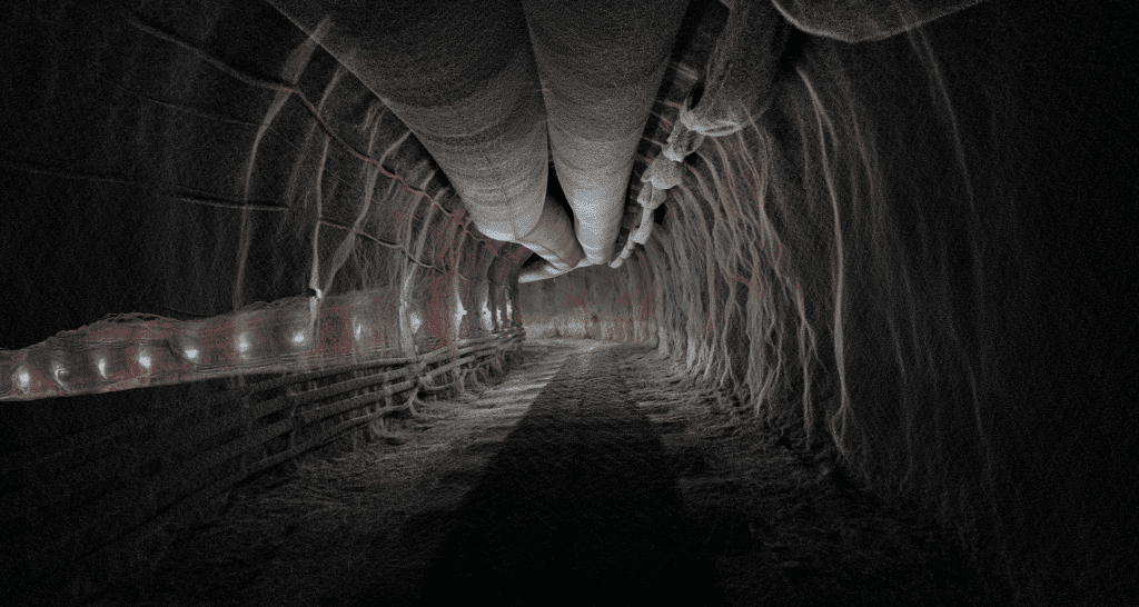
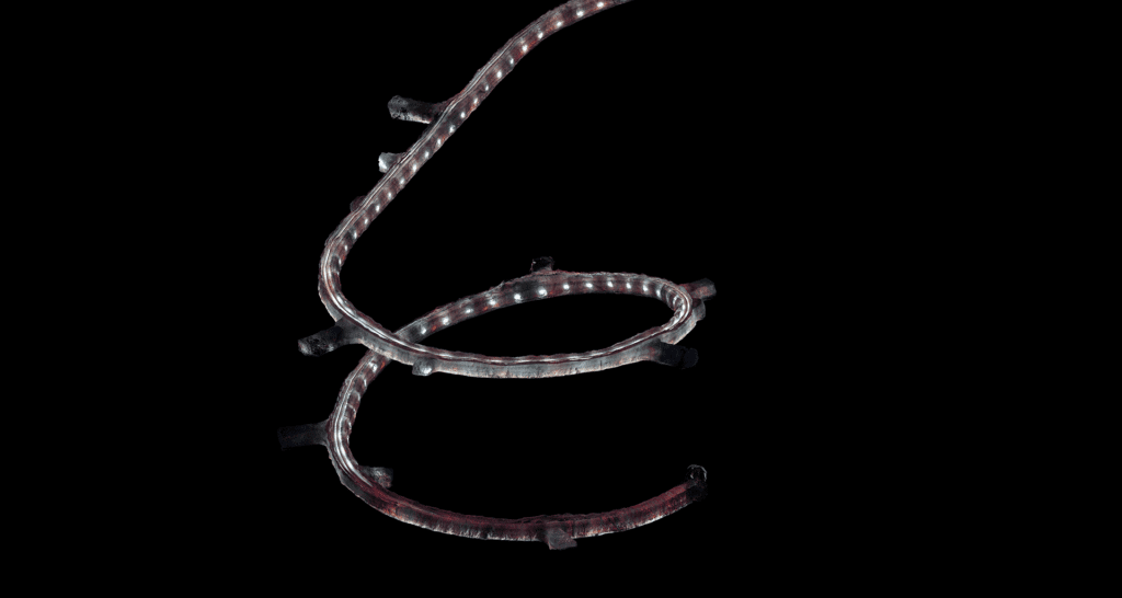
The award winning TerrusM is the best-in-class, ultra-low drift mapping system used for reality capture, GIS or large-scale survey applications. Globally accurate, colourised maps are generated on system as either a .las or .ply format using 4x 4k 360 degree colour cameras located about the perimeter of the sensorpack. Whether it be walking or driving, the TerrusM creates rapid large scale maps of challenging and difficult environments. Move into the world of mobile scanning with the TerrusM to take advantage of the next generation mass data SLAM mapping capability today.
TerrusM
Walk or drive to create accurate maps of large-scale environments with ease using the TerrusM. Digitise large scale scenes using workflows that work without an internet connection.
The TerrusM can collect map data rapidly in busy environments using a simple touch screen interface. Powered by the latest generation WildcatSLAM engine, the TerrusM is the perfect tool for construction, mining, port, plant and rail operators.
Ensure that maps are on datum using survey control to realign and reproject large-scale ultra-low drift best-in-class SLAM engine ensures rapid capture at faster speeds without sacraficing accuracy.

SPECS
100m
Laser Range
4 x 4k
360° Cameras
NVIDIA AI
Edge Compute Platform
600 000
Points Per Second *dual return
Sub 2-CM
Localisation precision
Rugged
Designed to survive any environment
Rapid Mapping - 7km Captured in 1 hour

