
Showcase
Showcase Maps
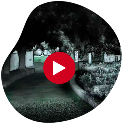
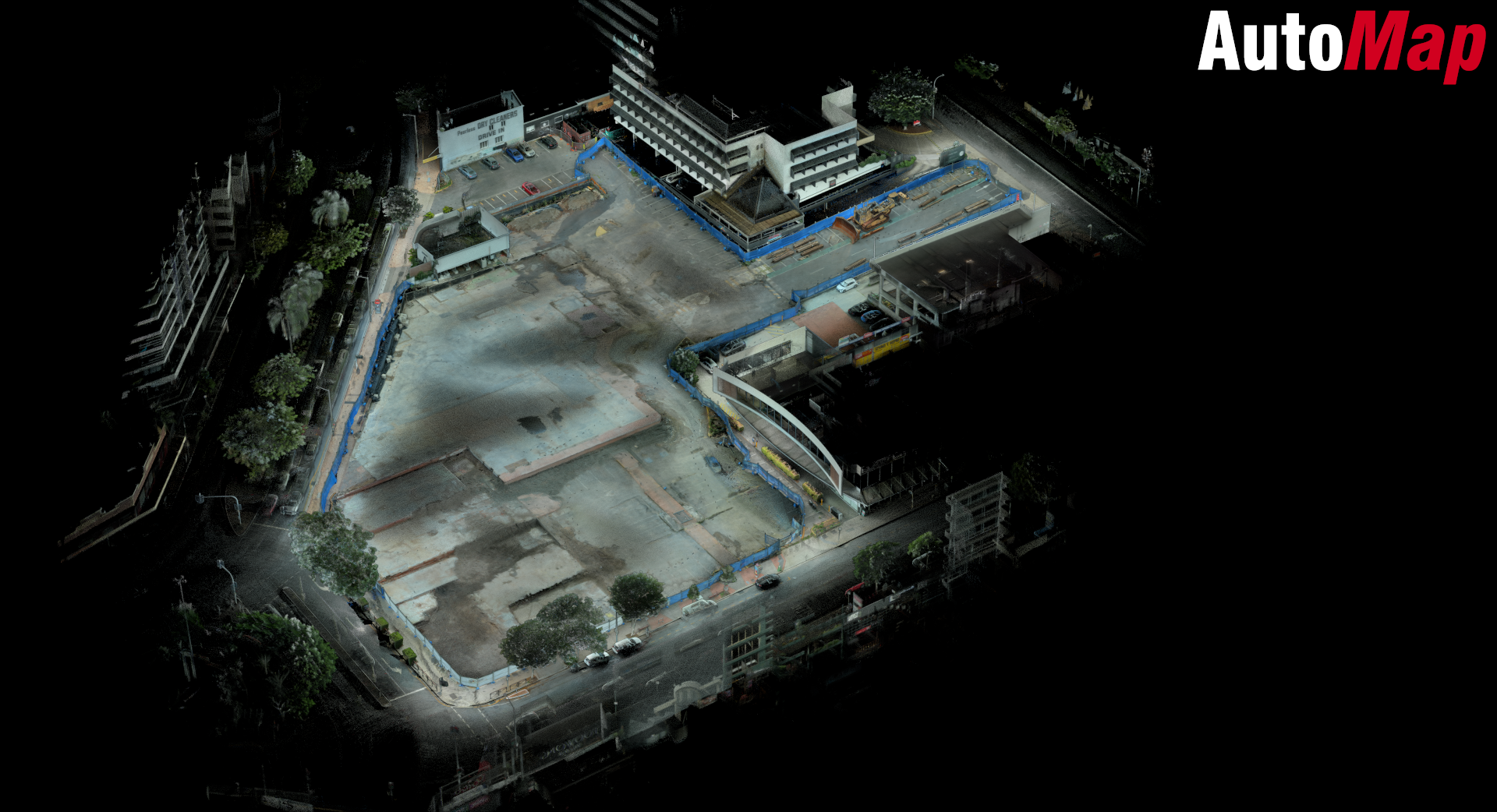
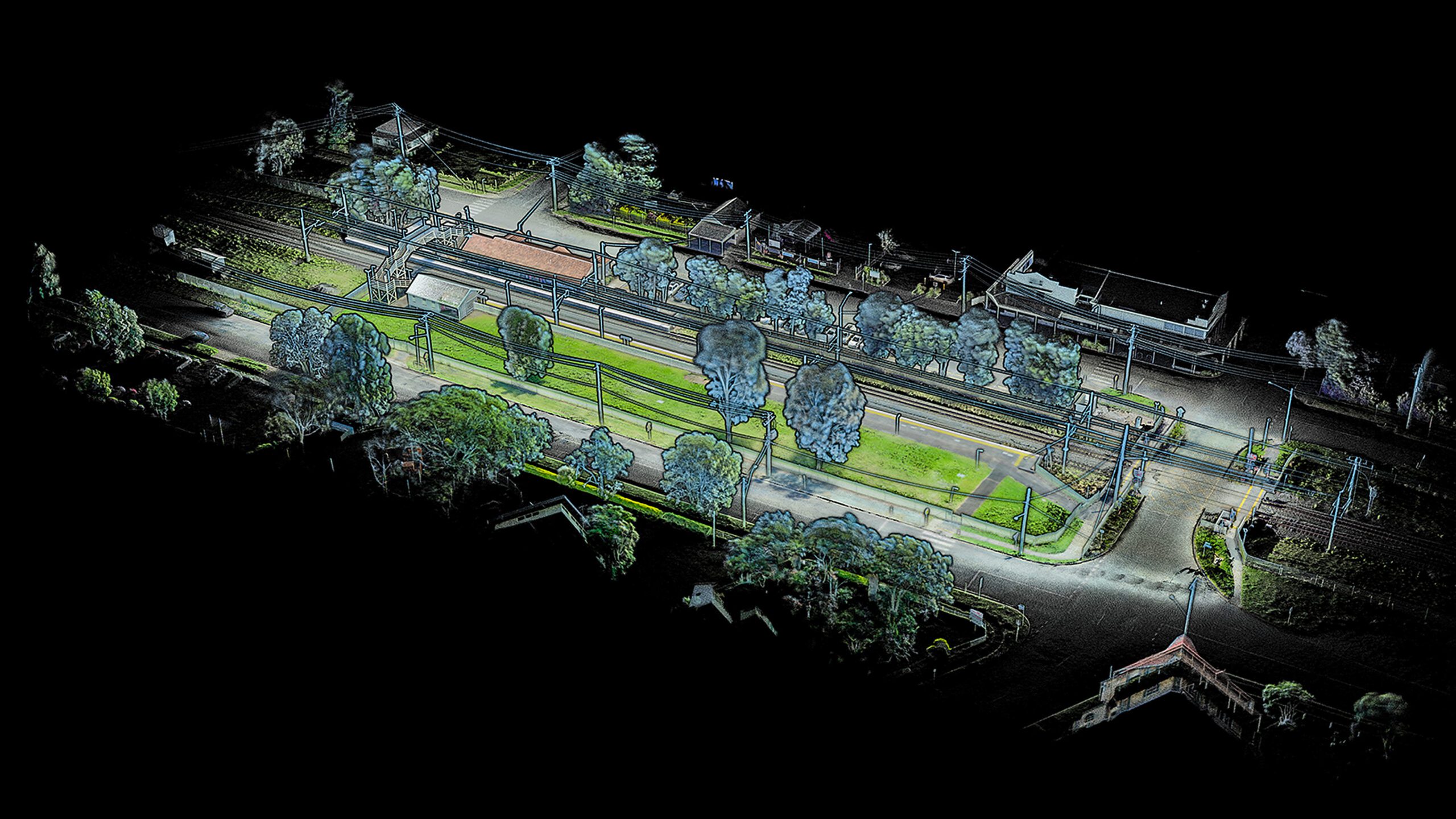
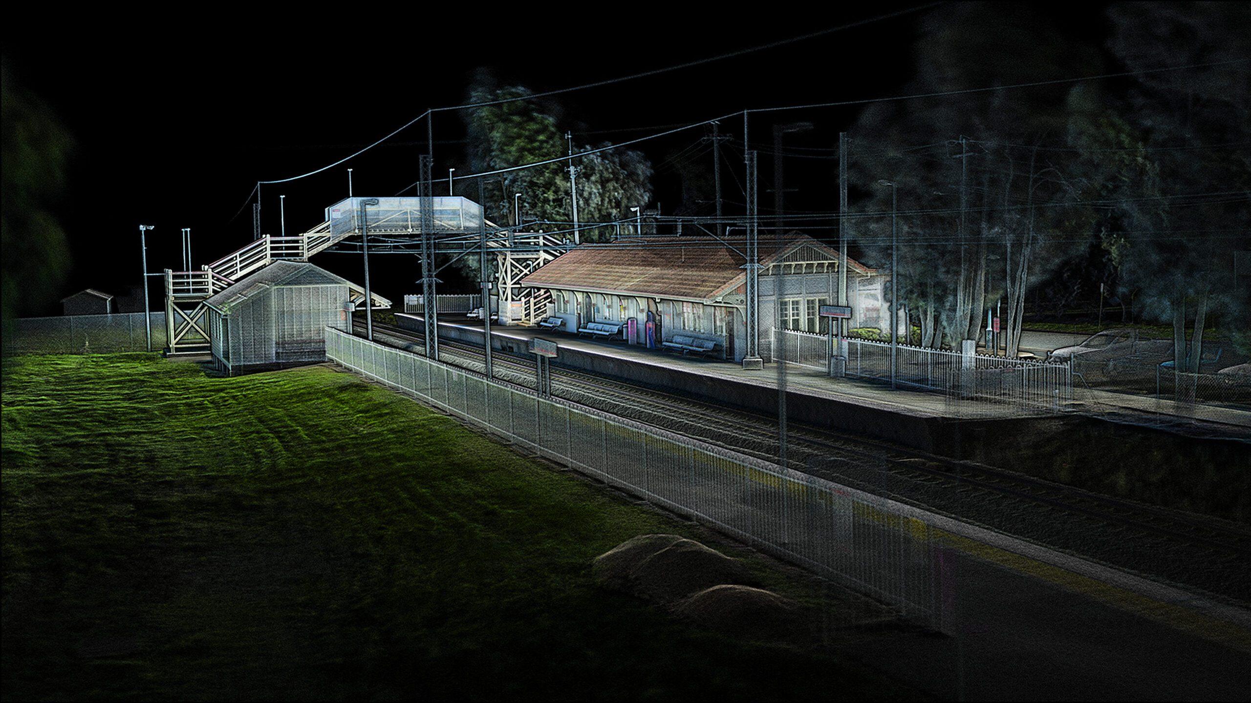
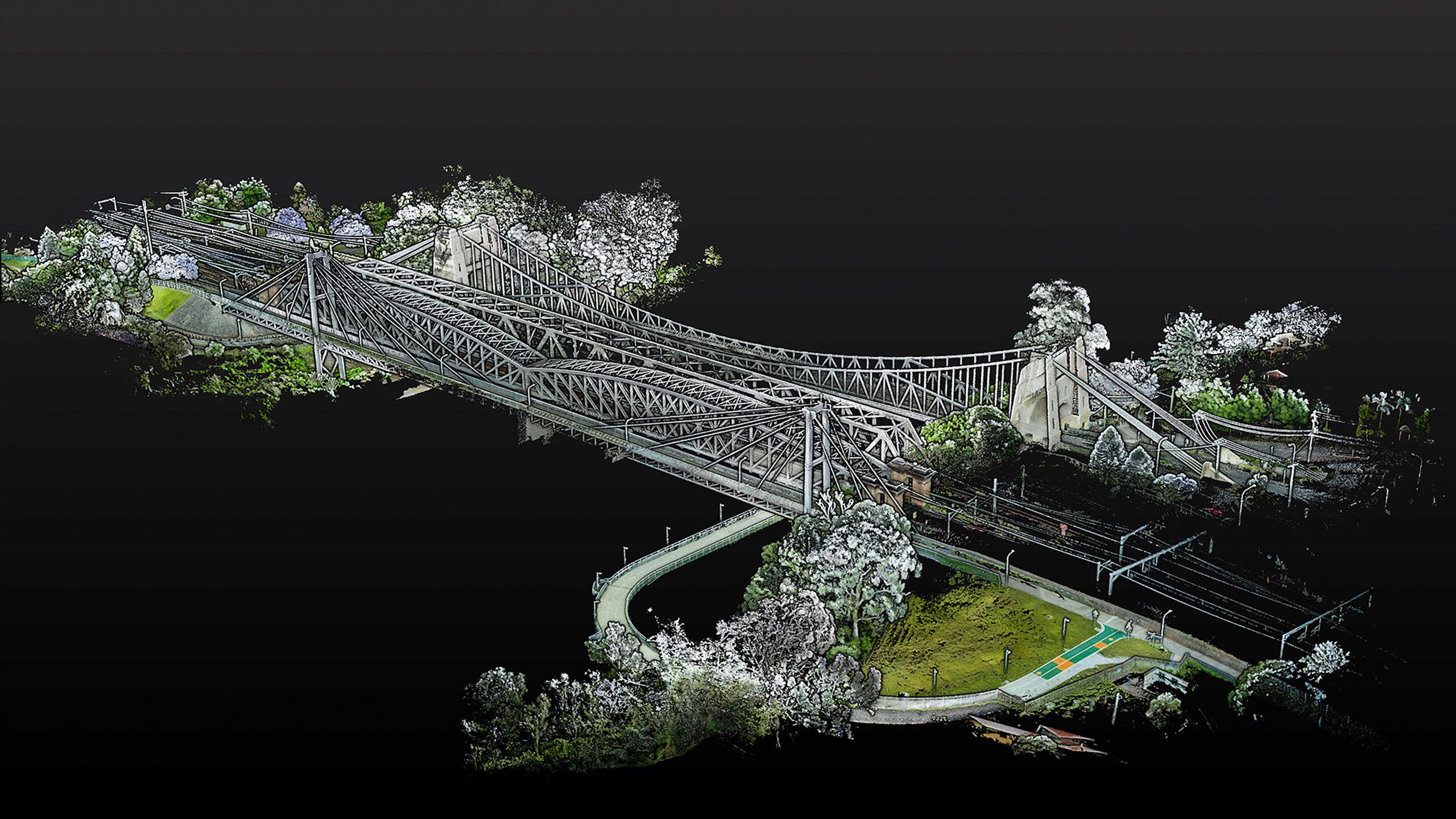
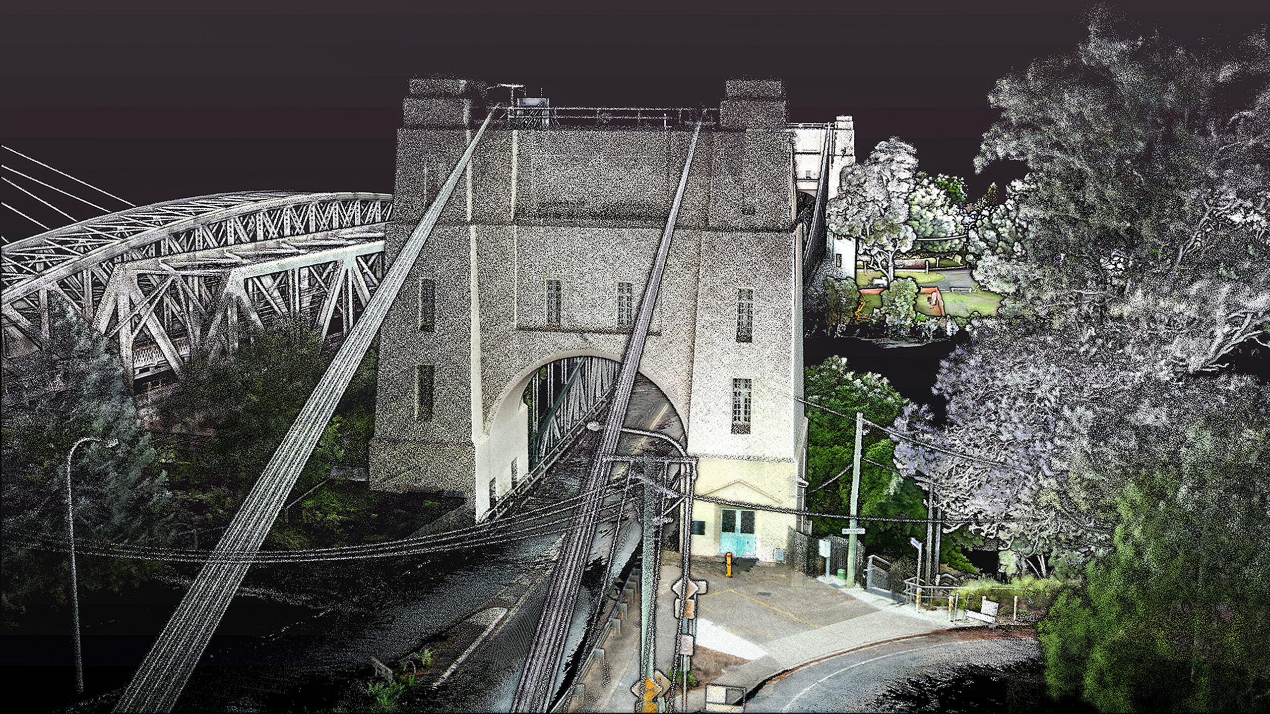
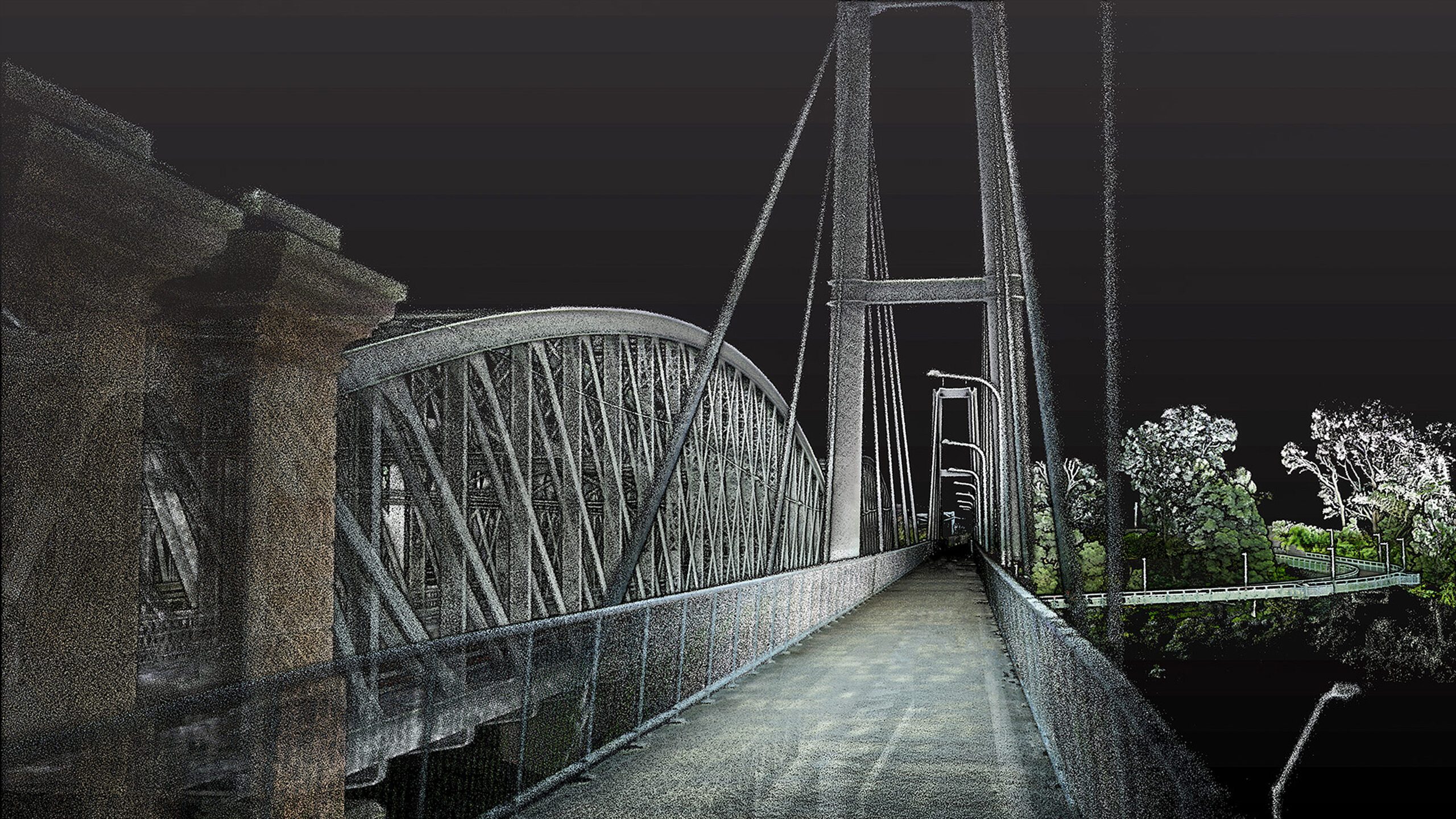
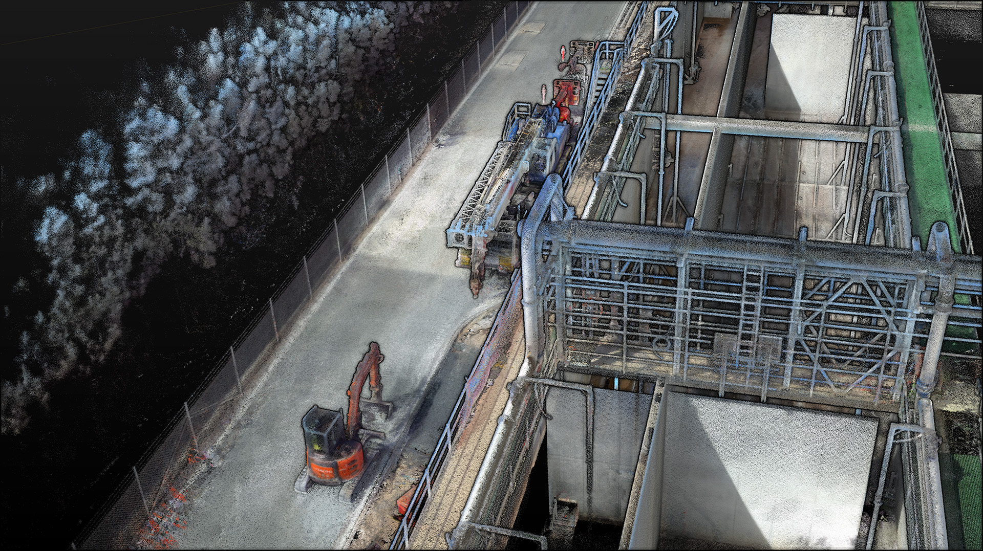
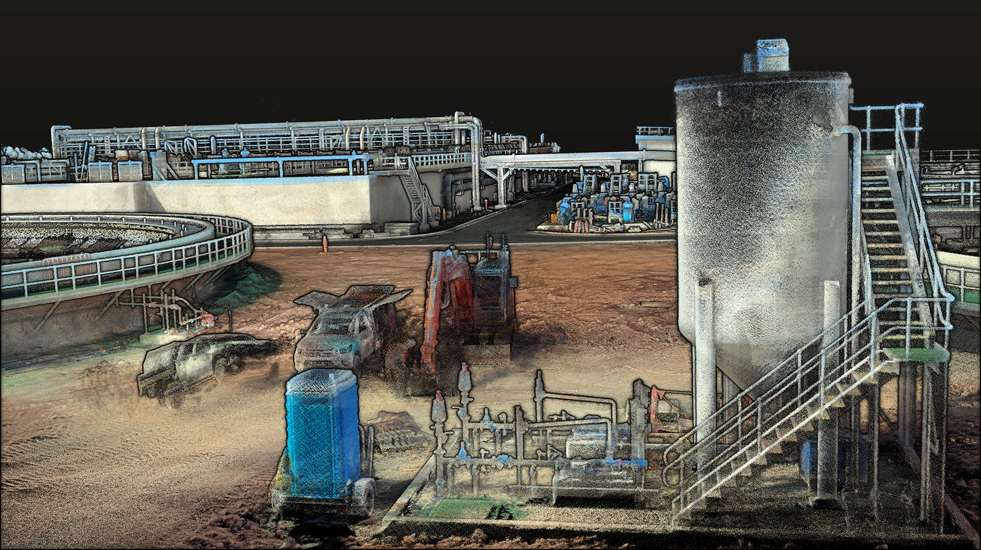
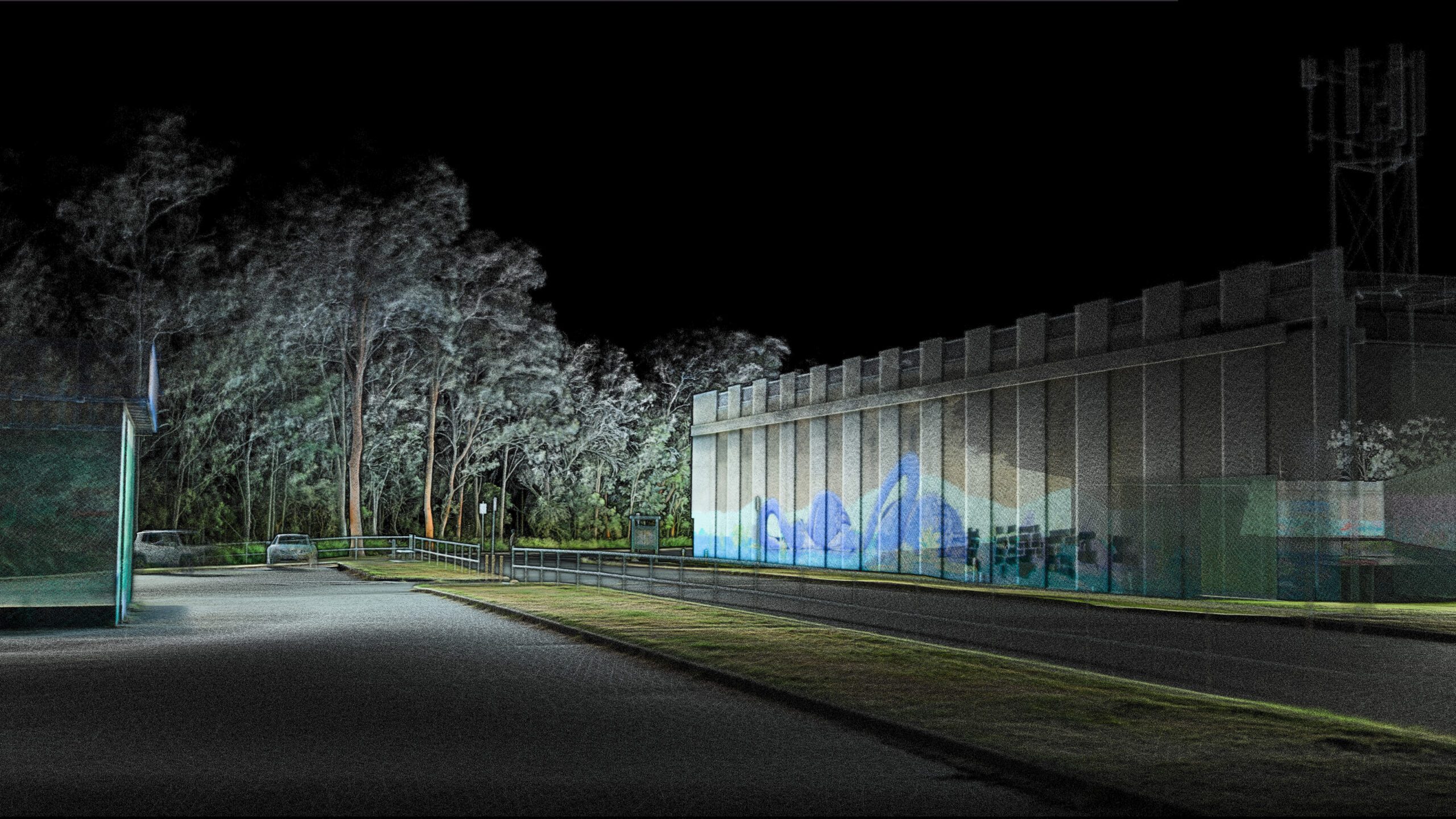
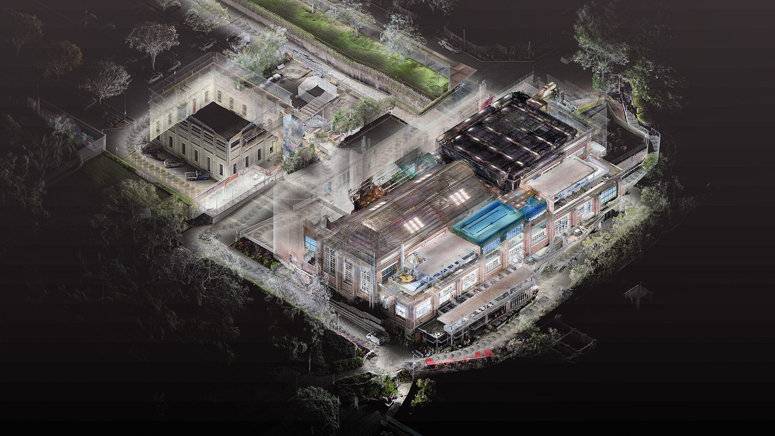
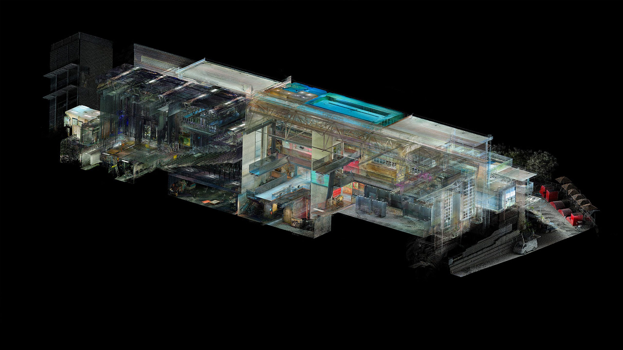
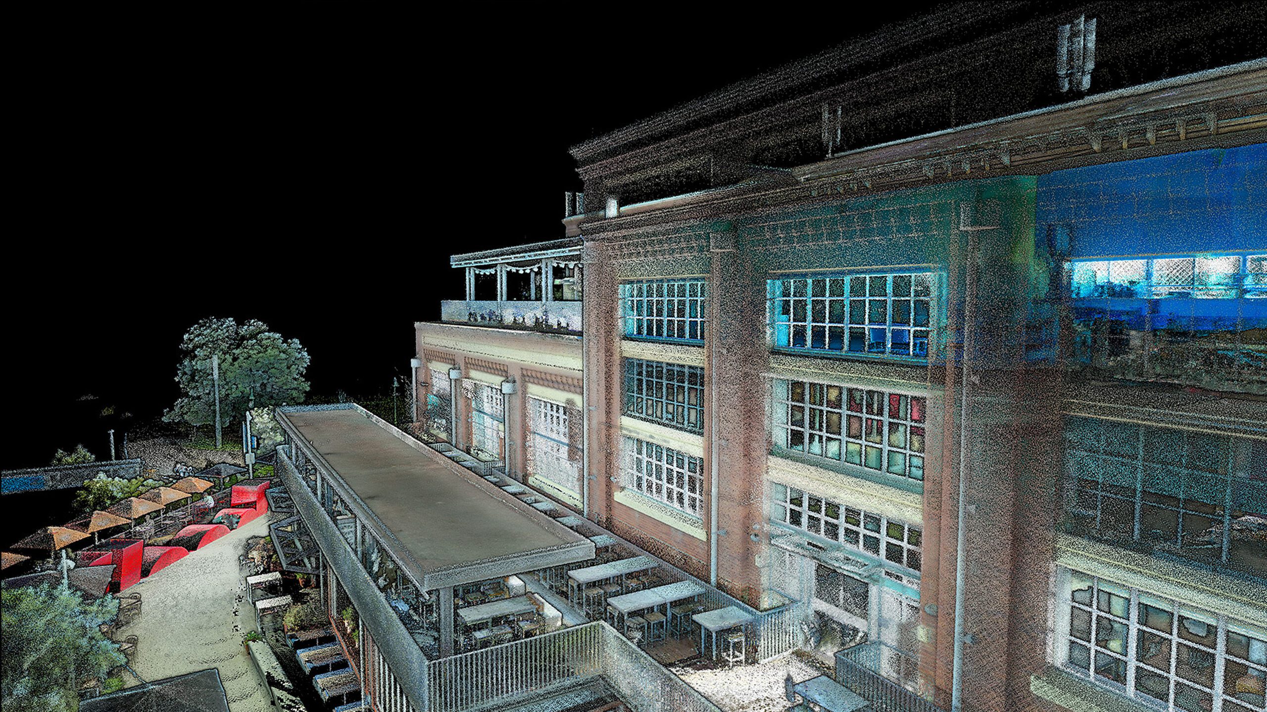
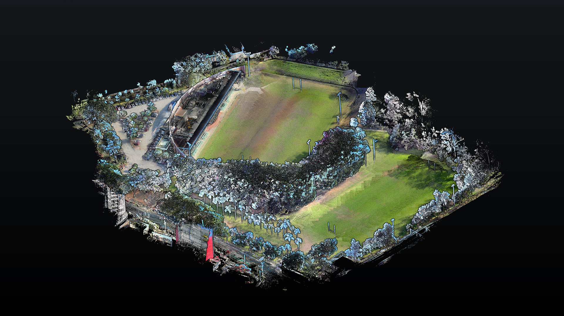
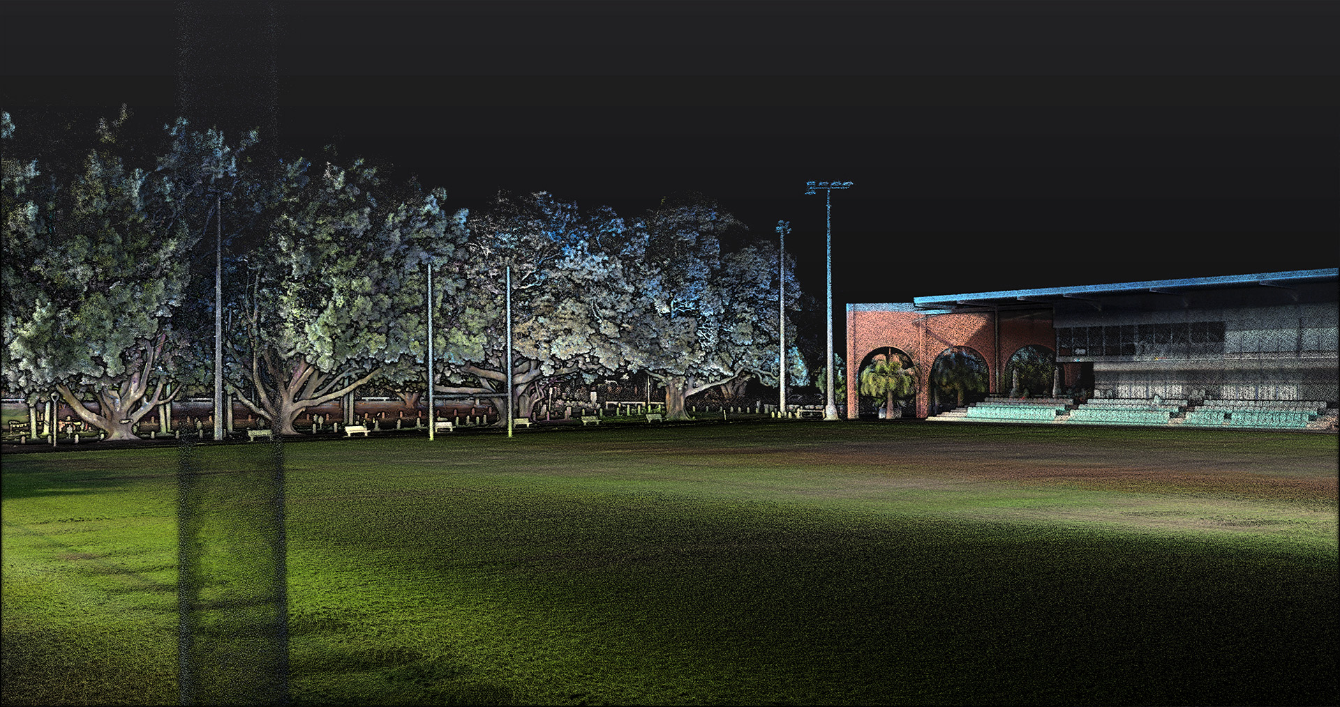
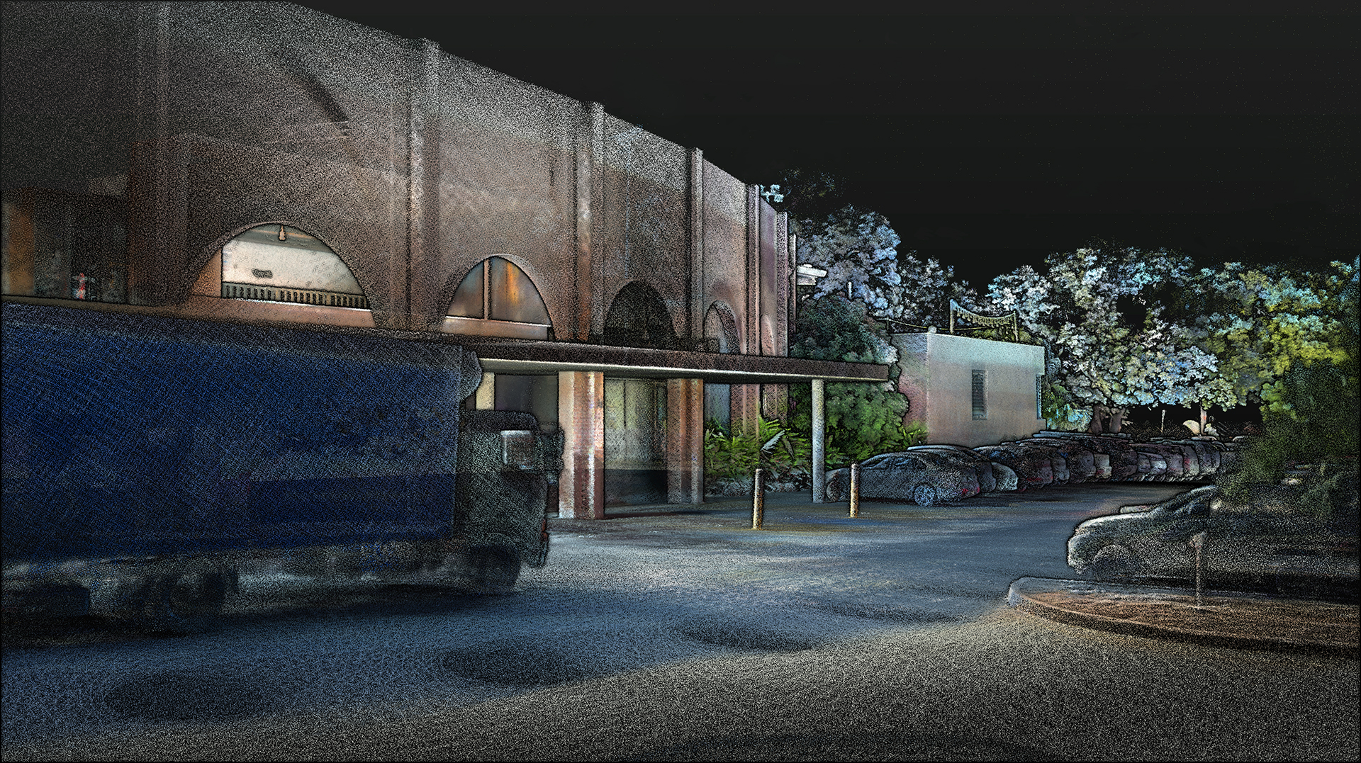
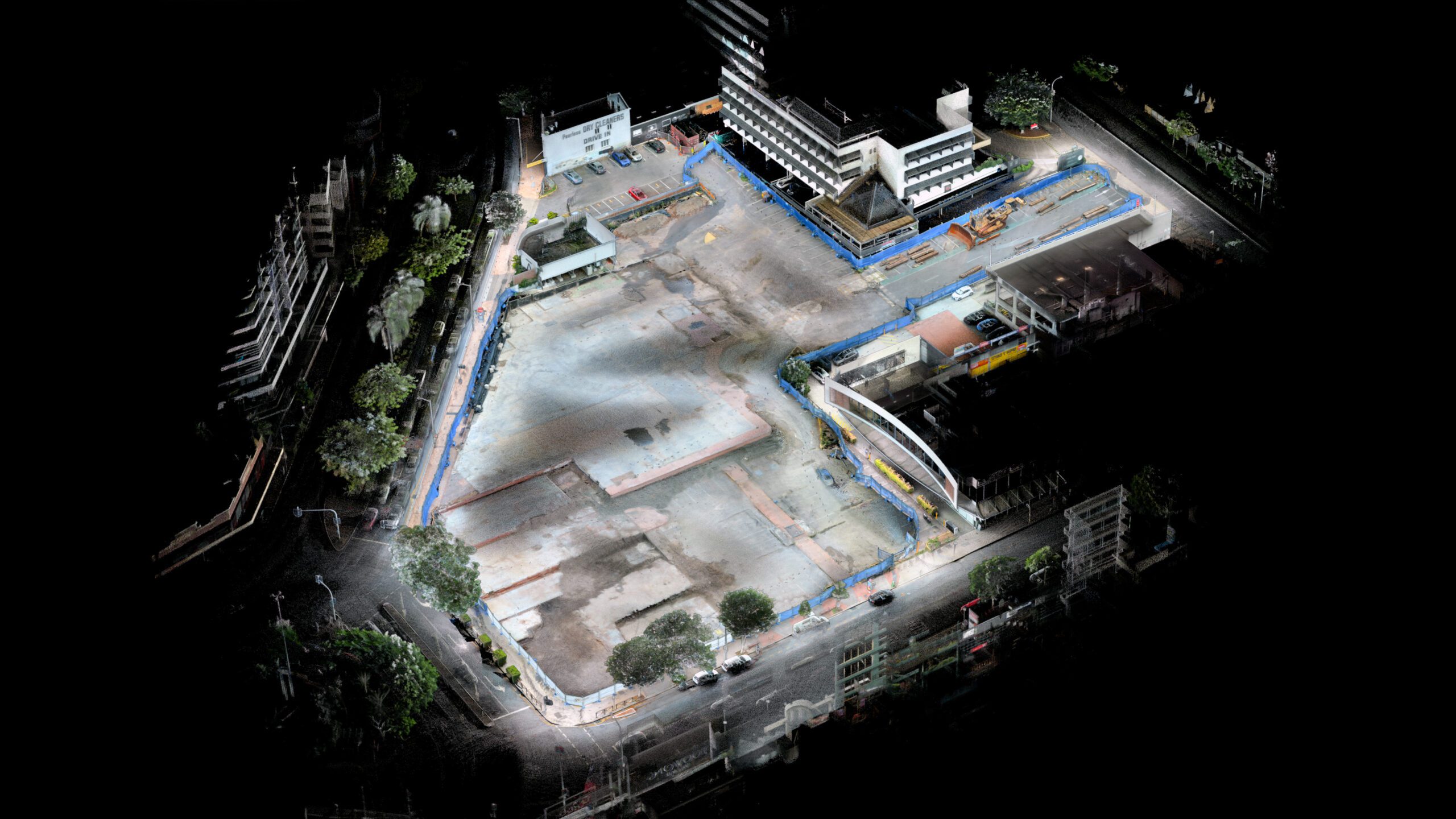
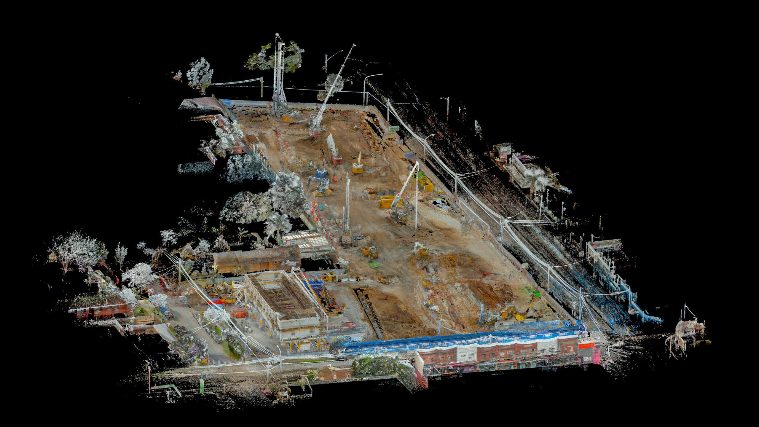
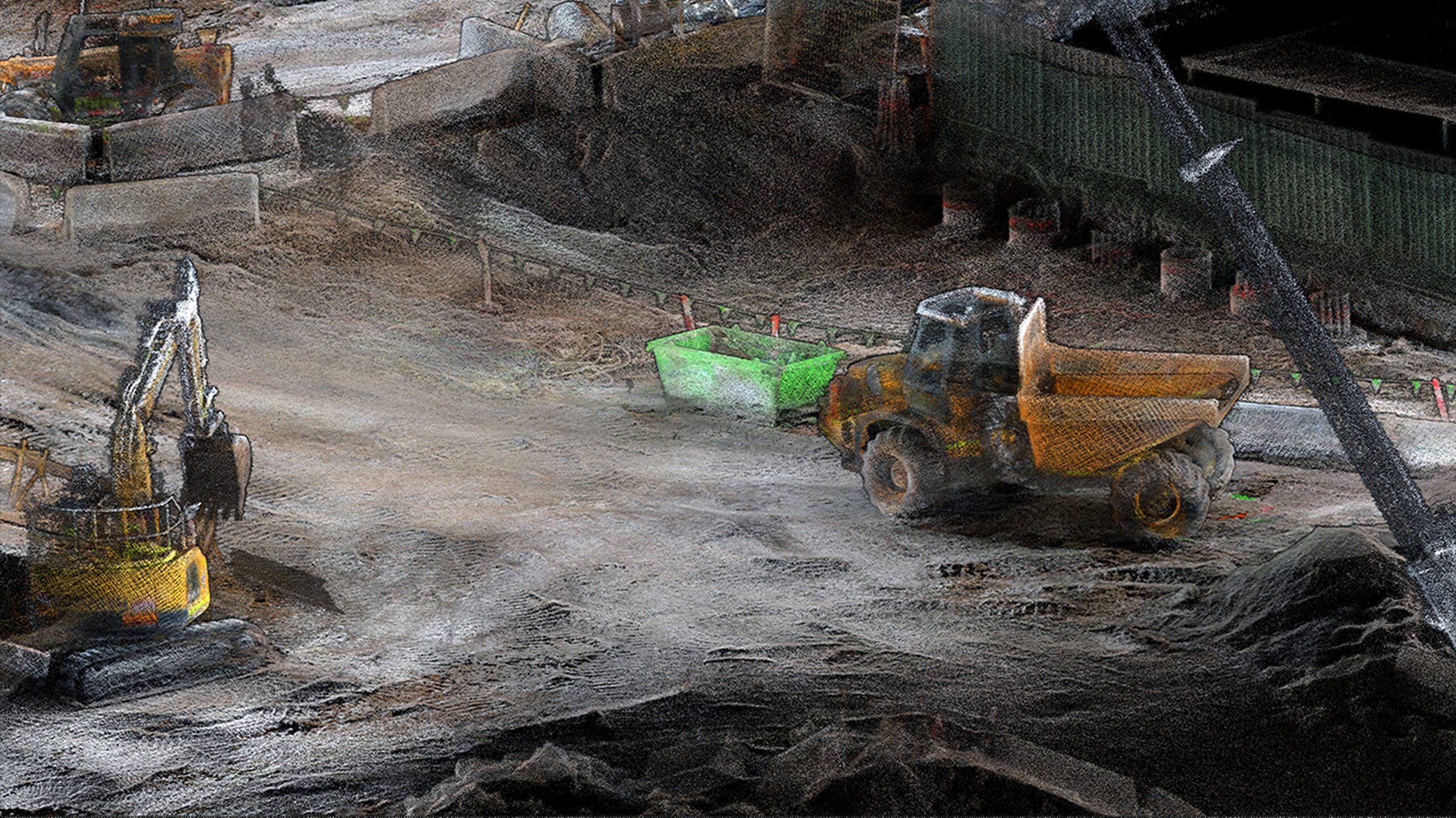
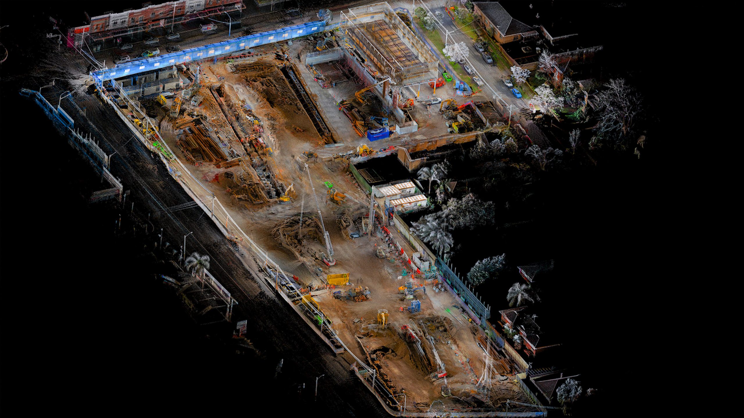
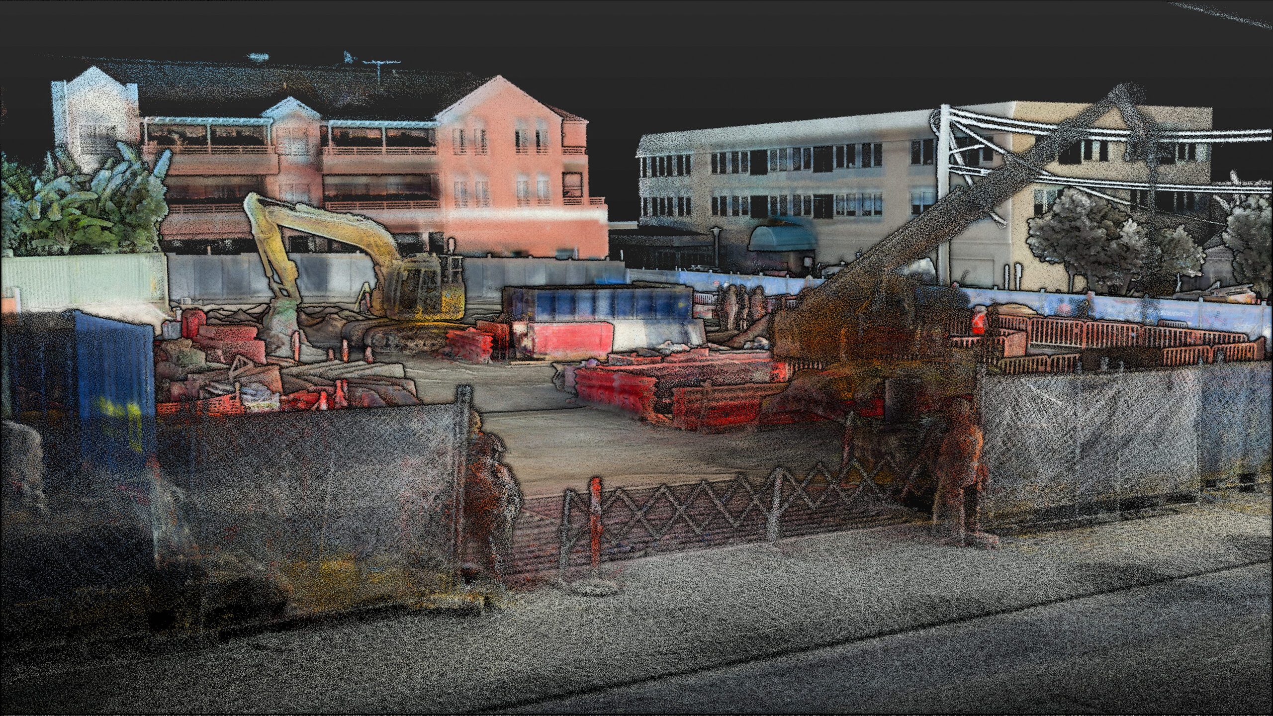
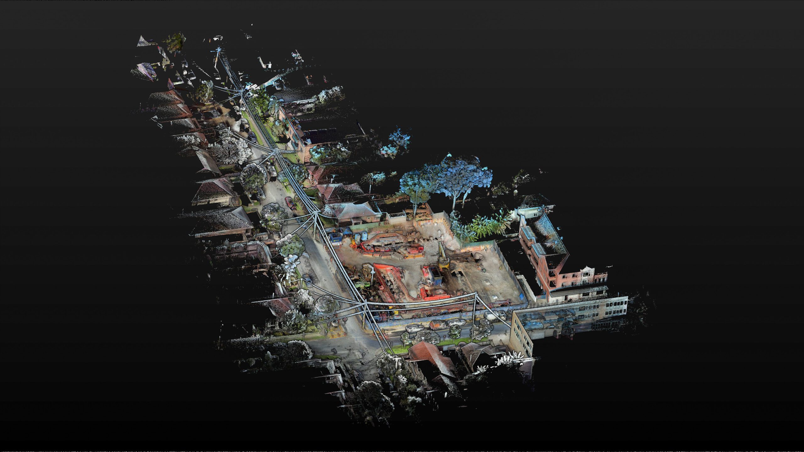
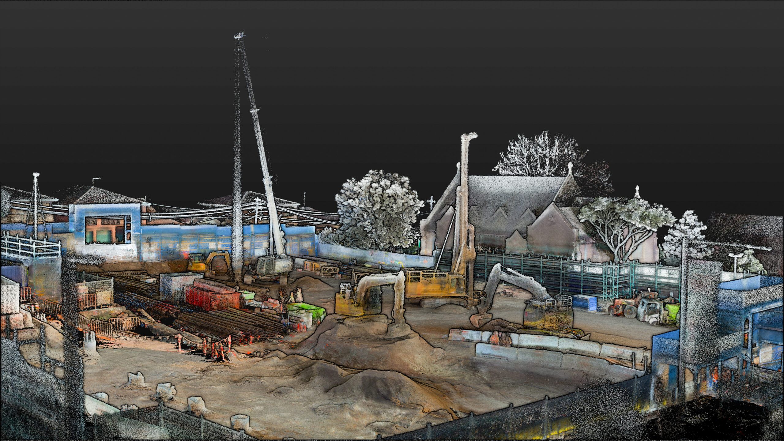
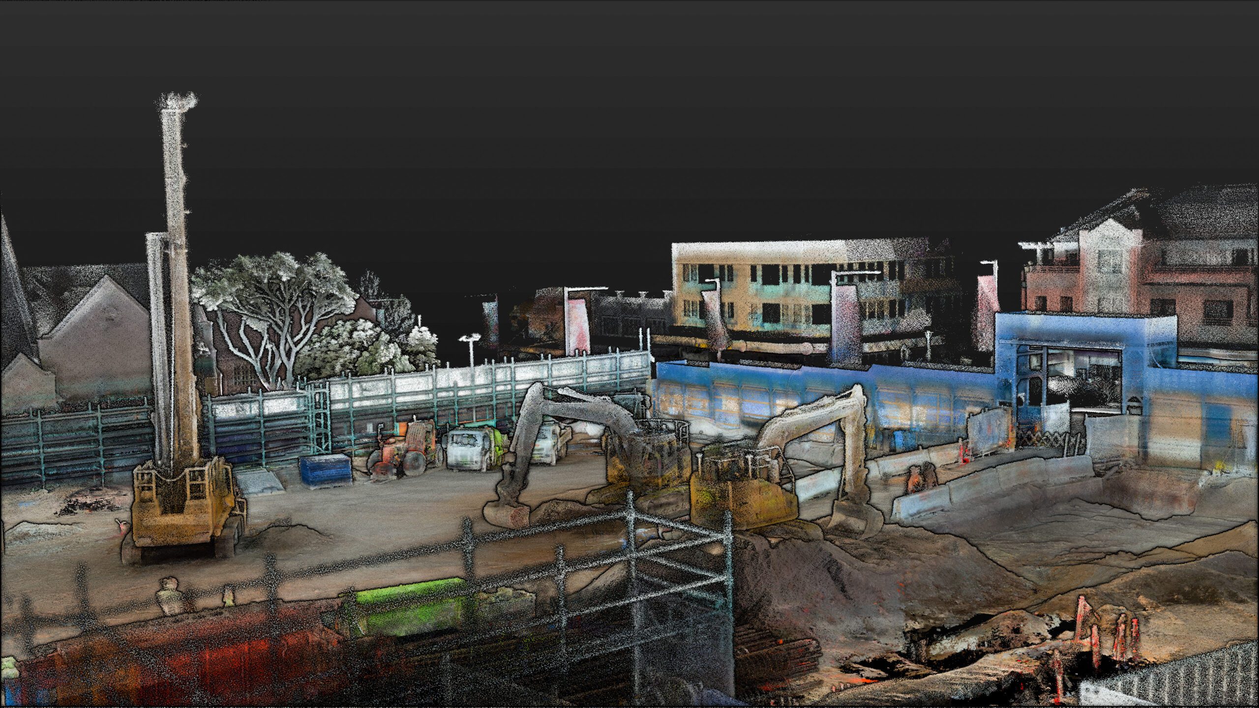
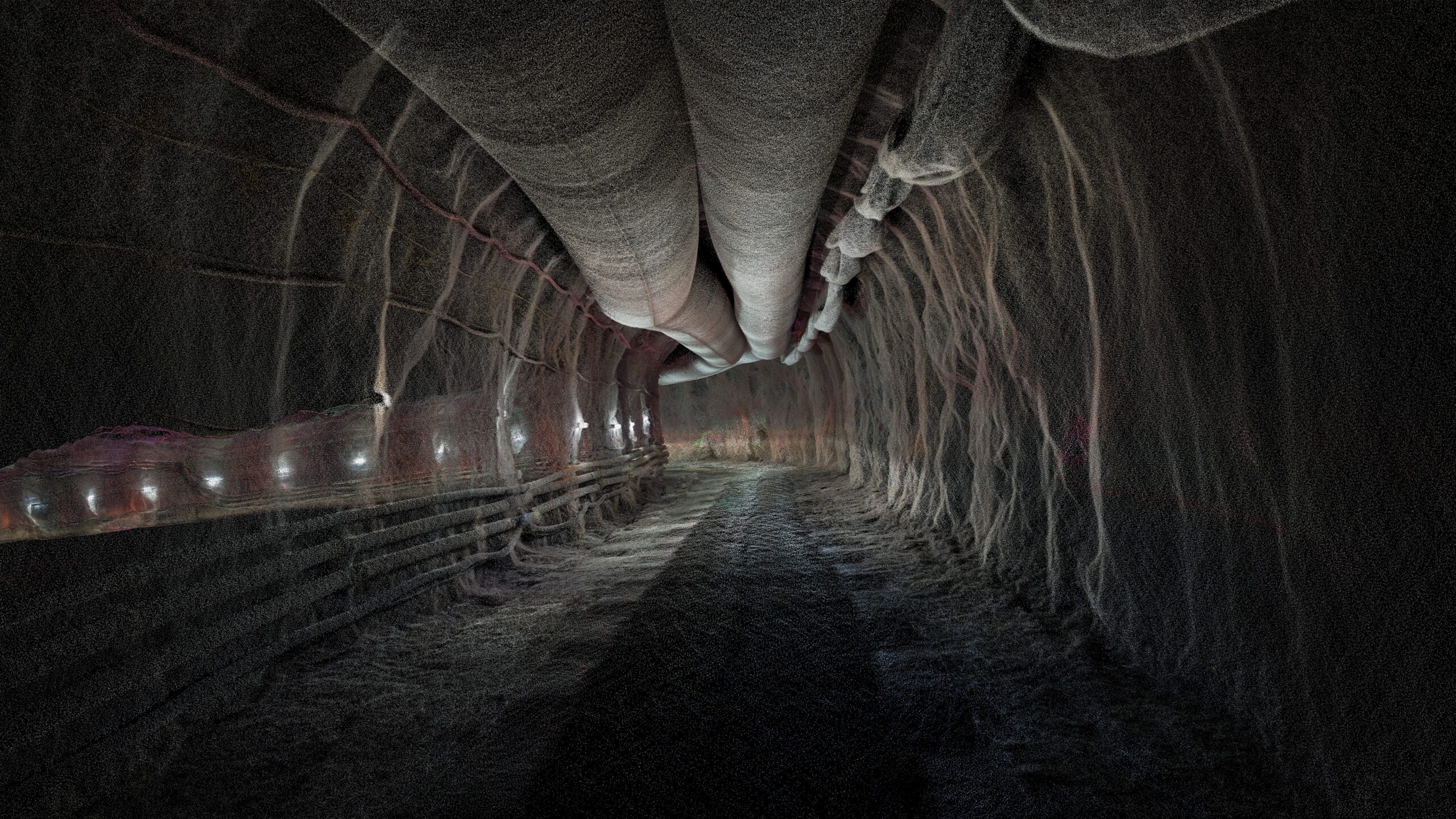
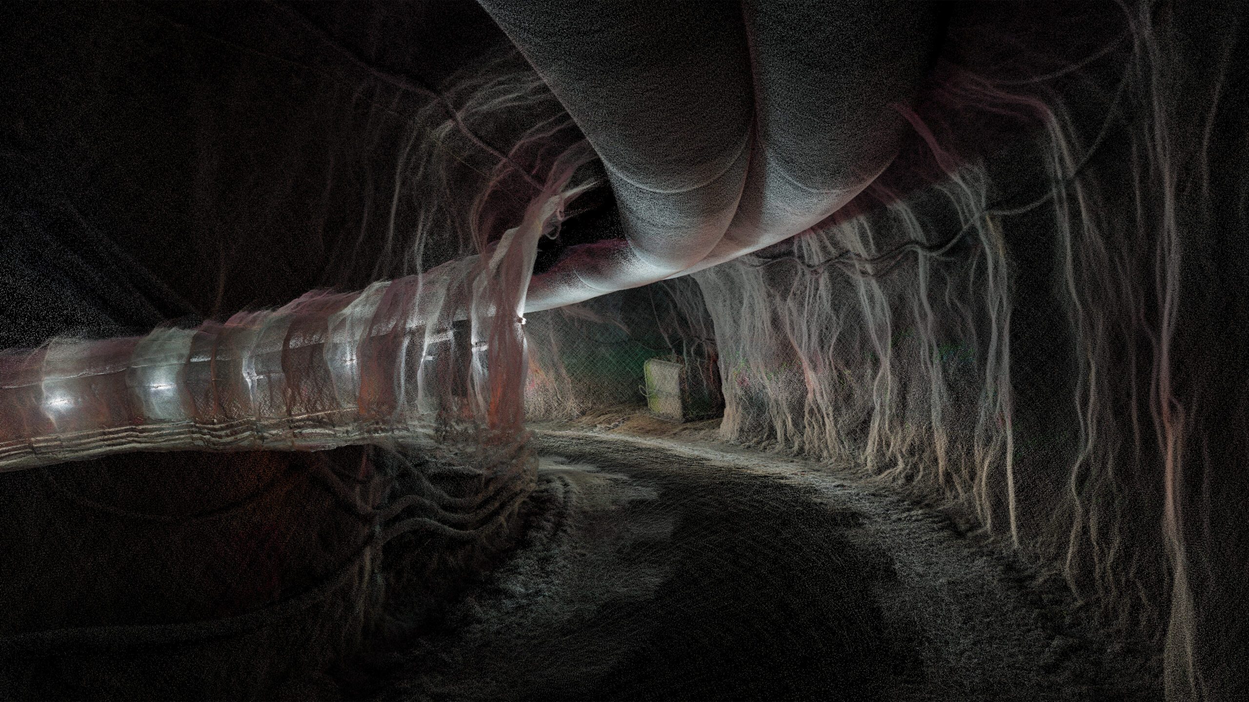
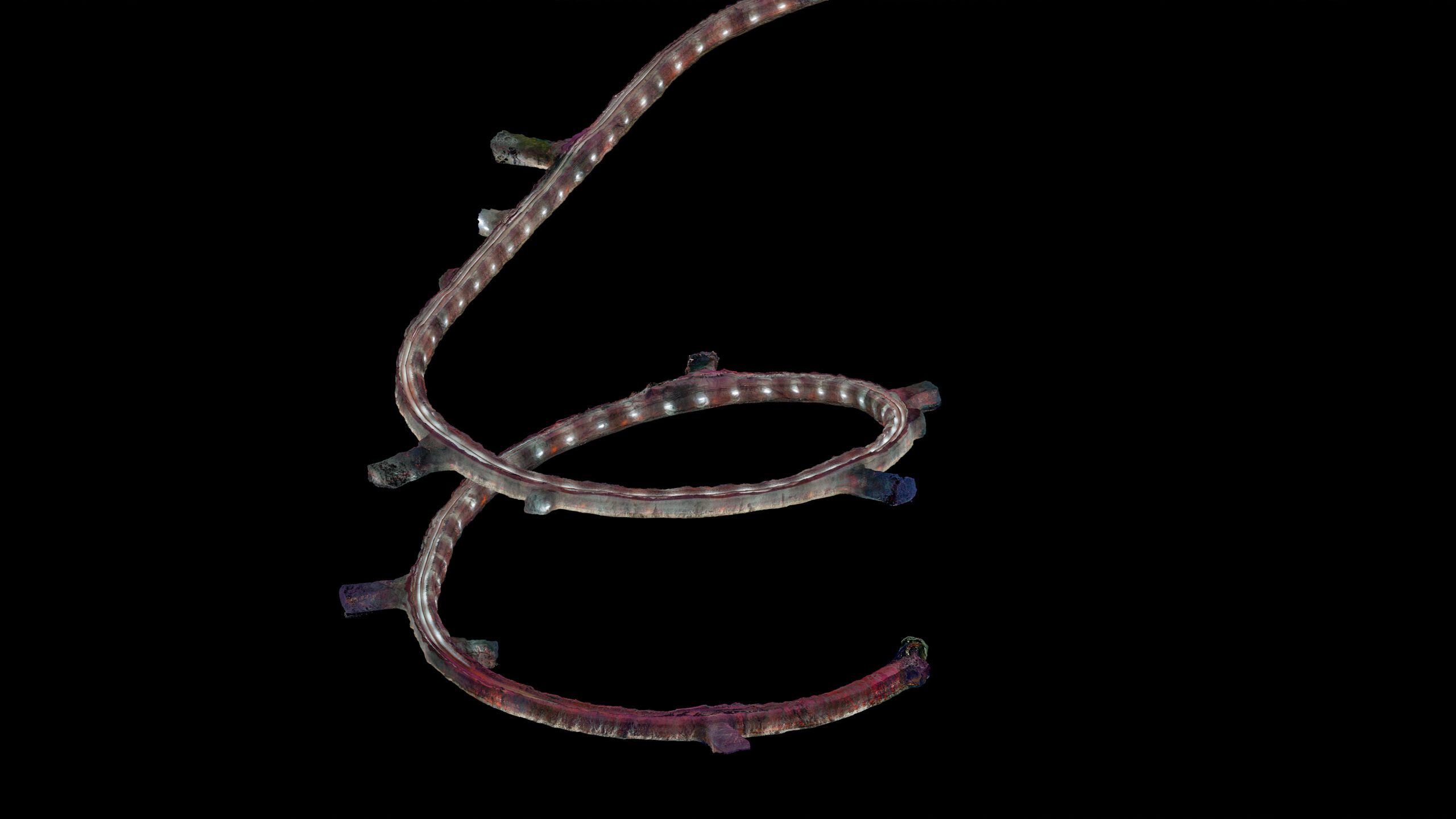
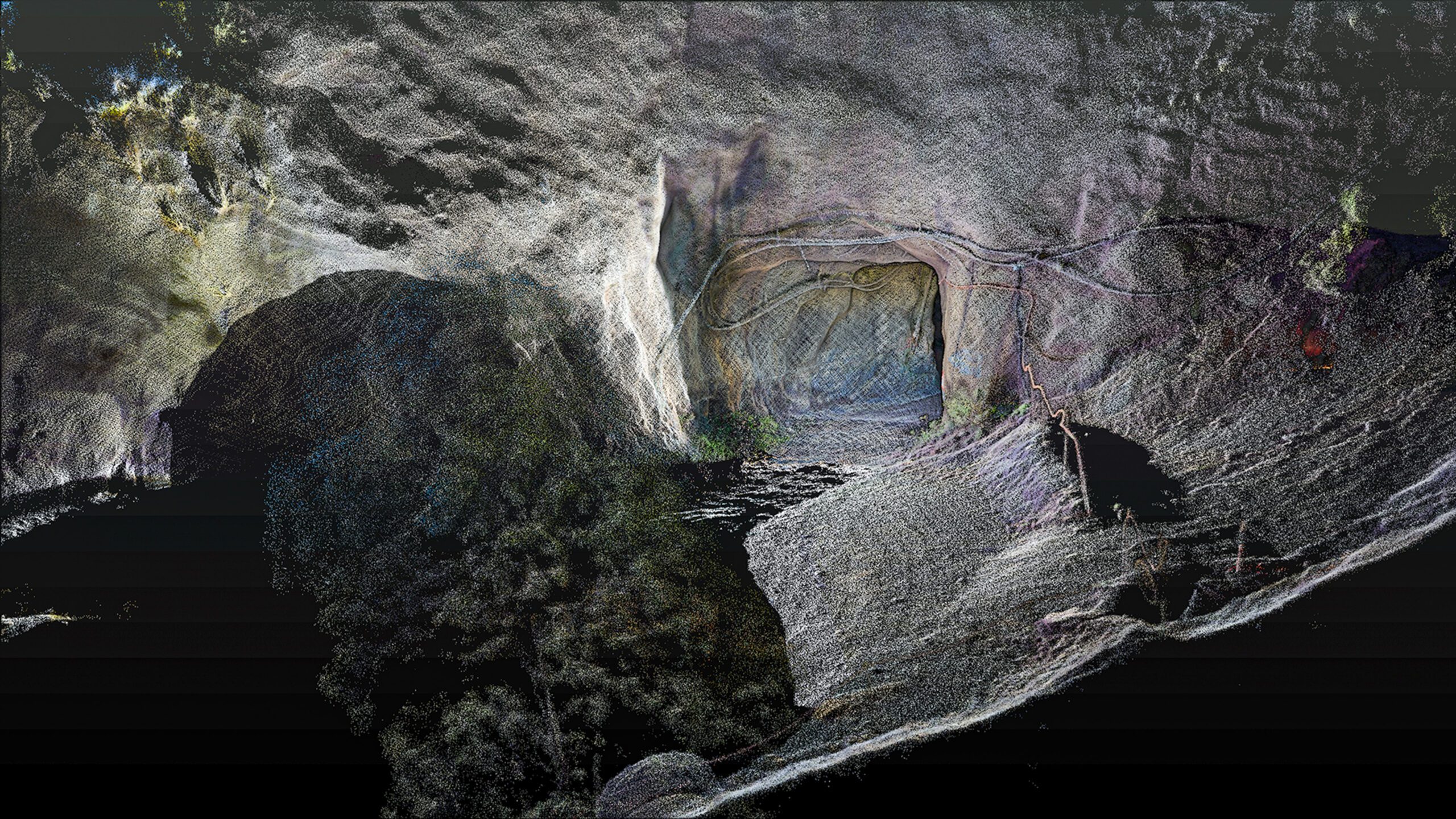
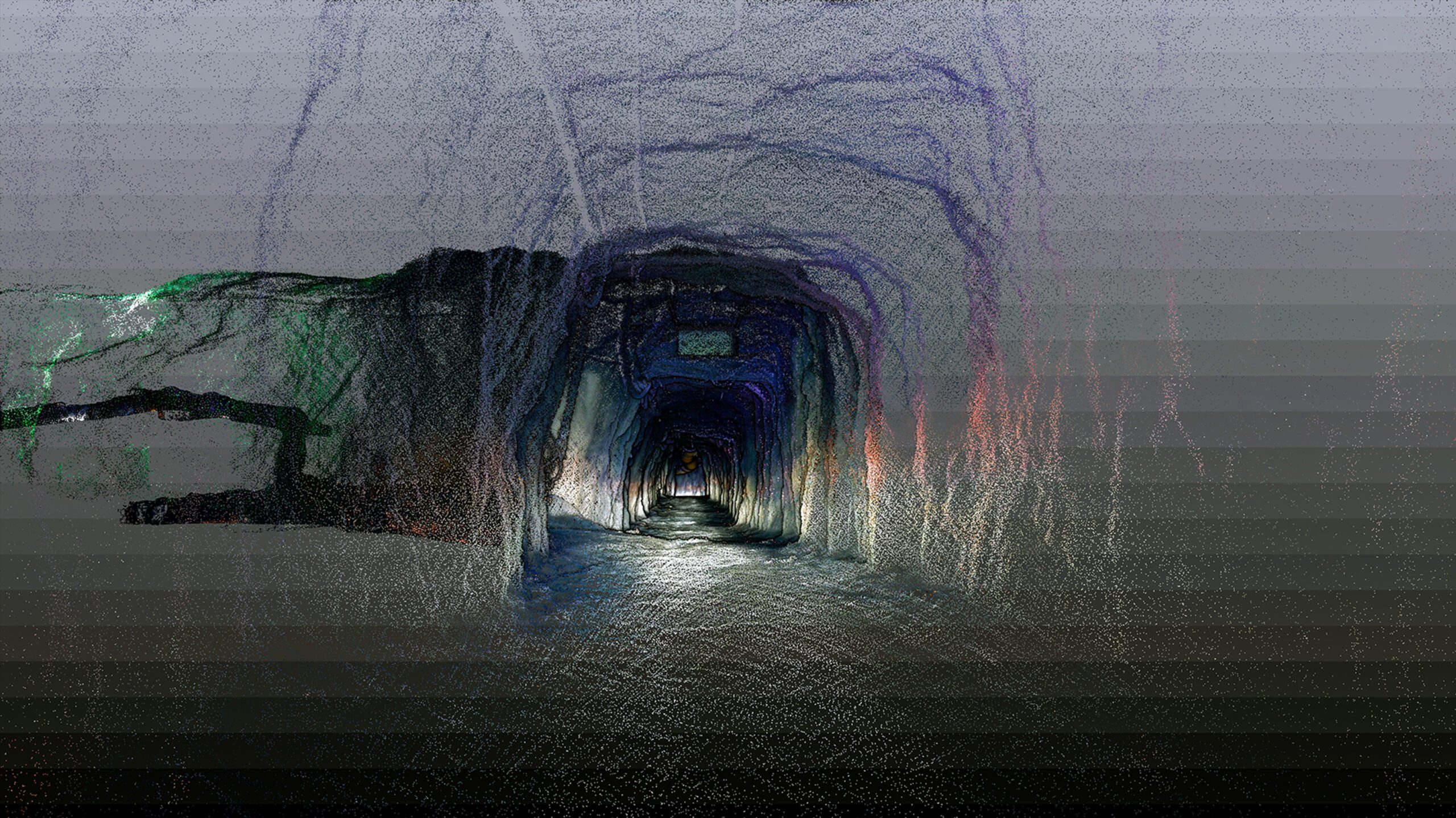
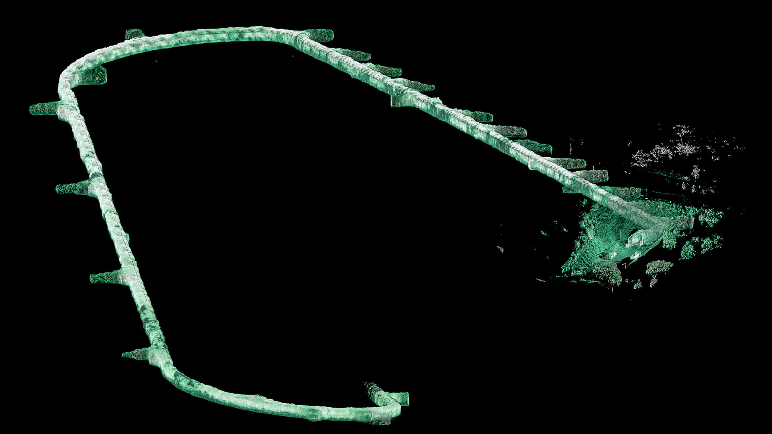
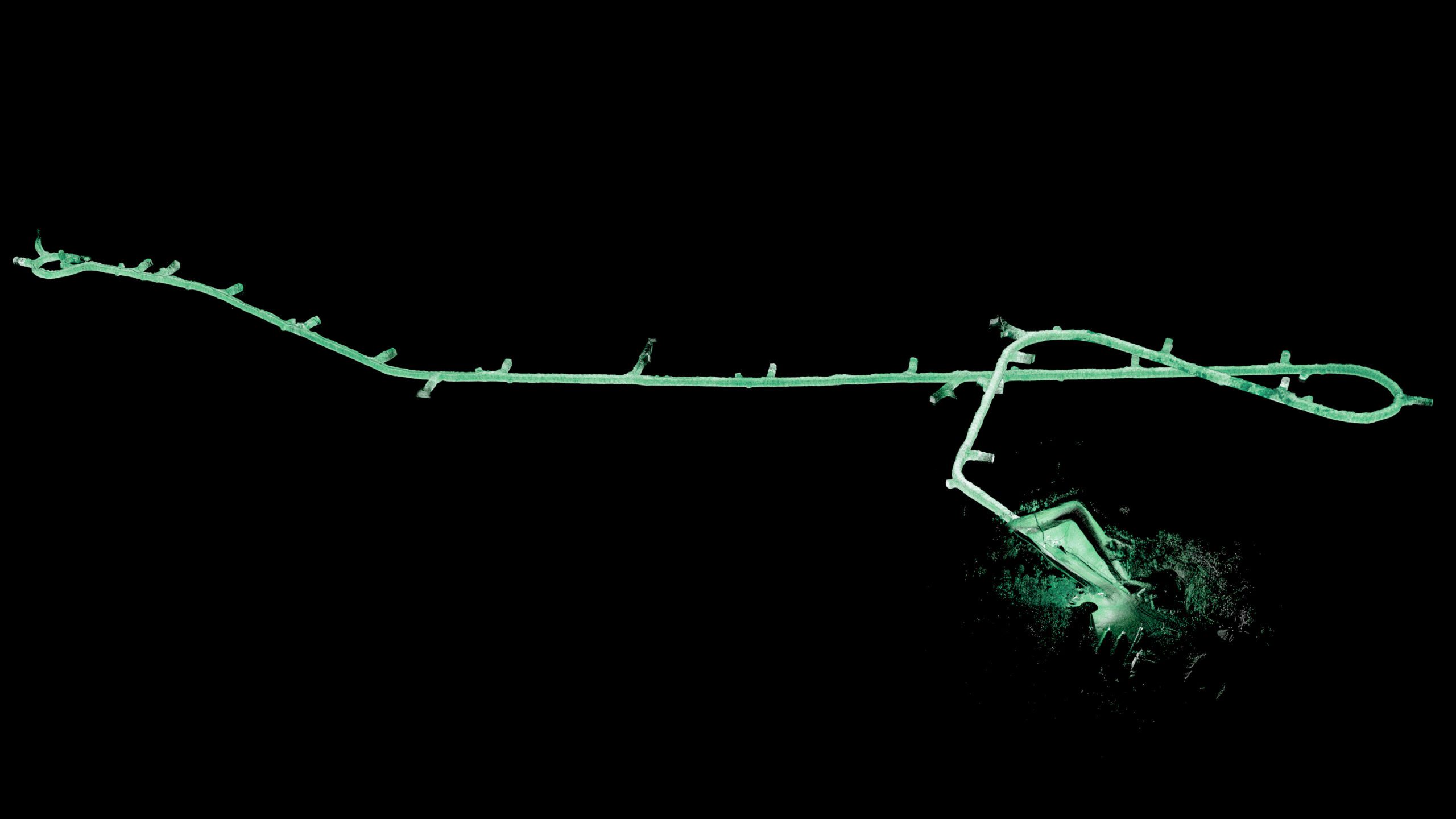
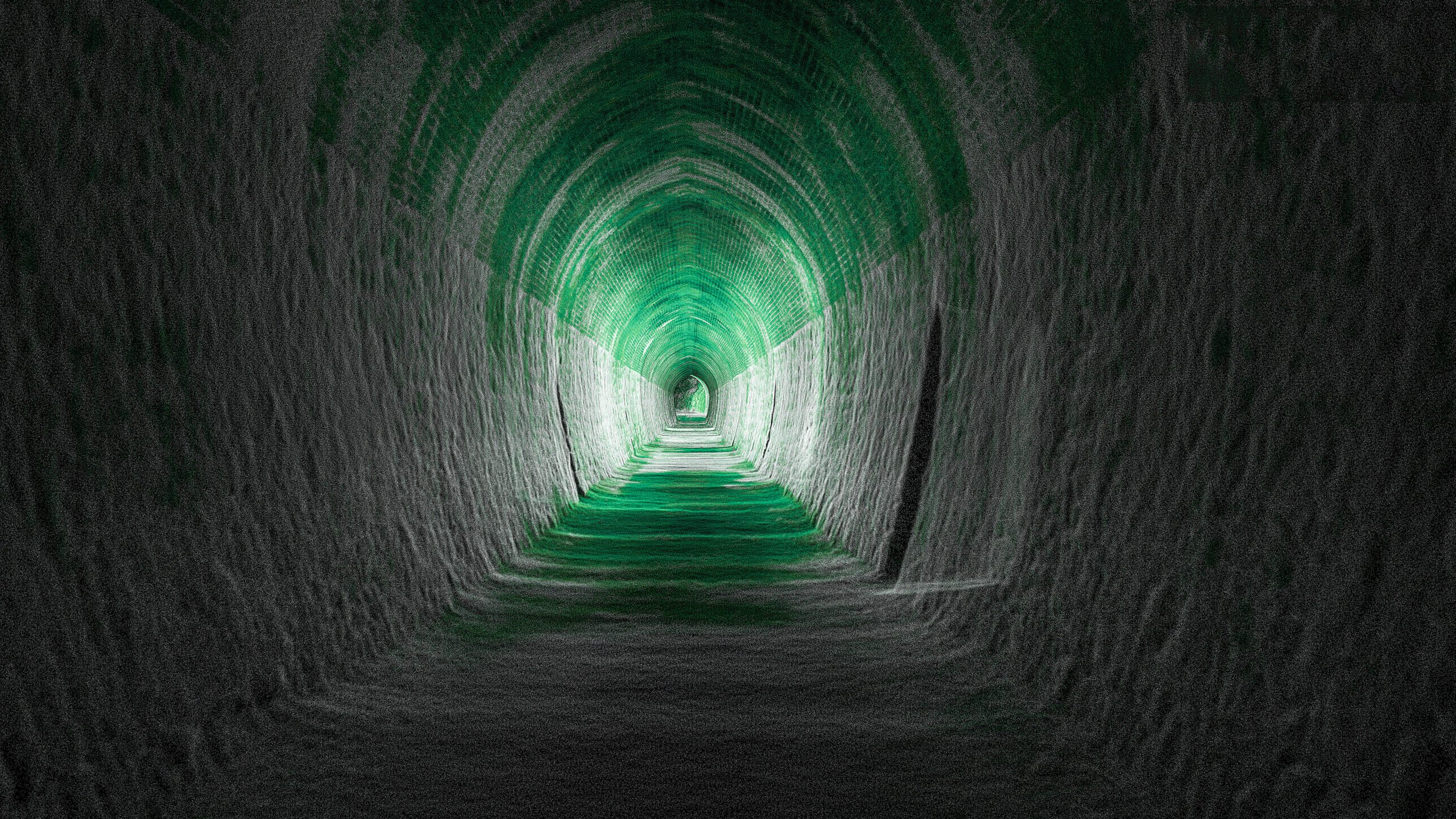
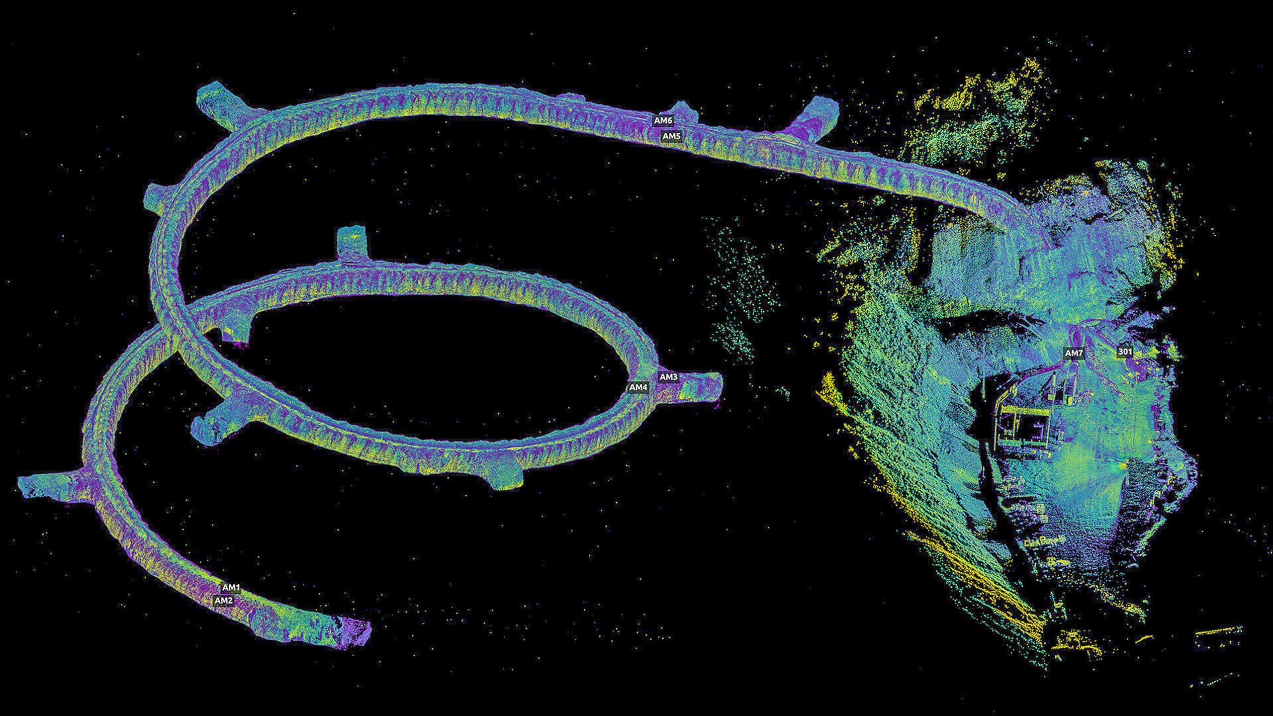
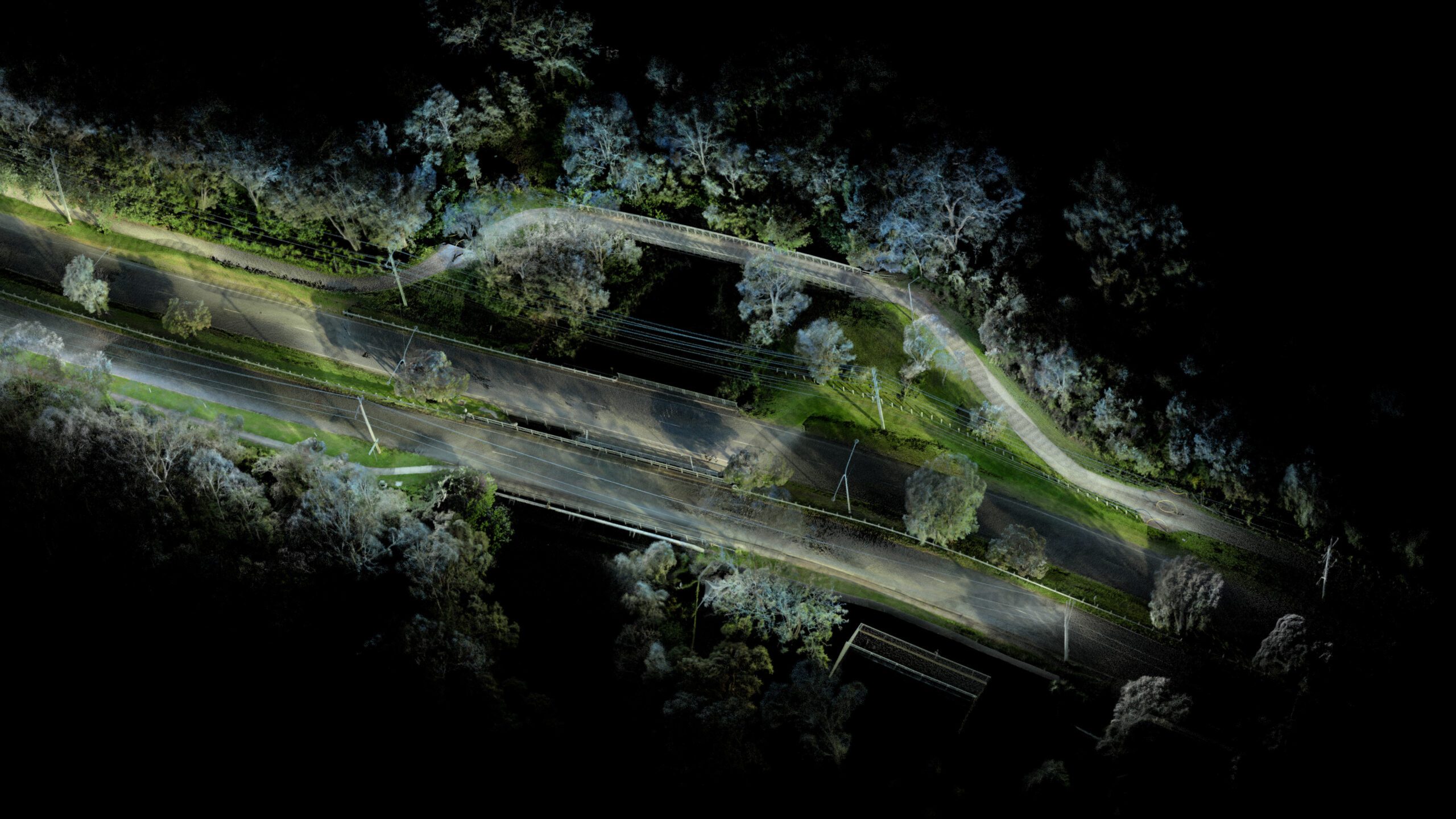
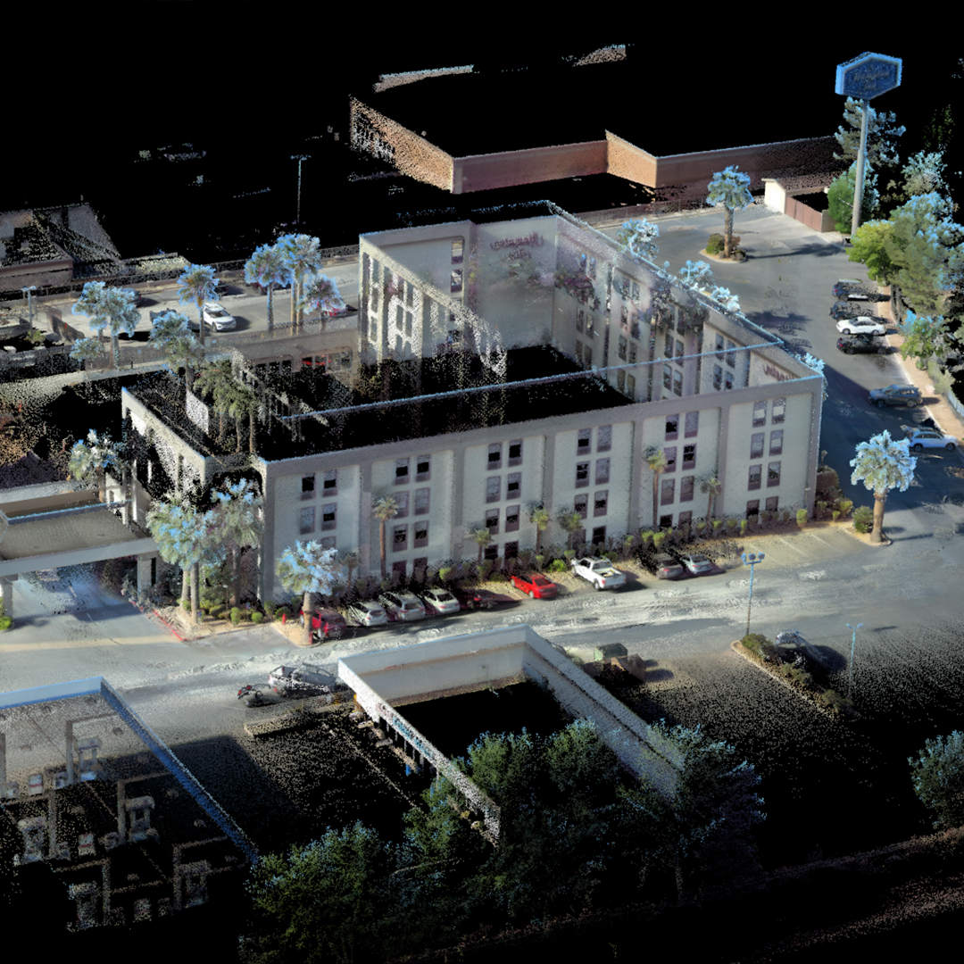
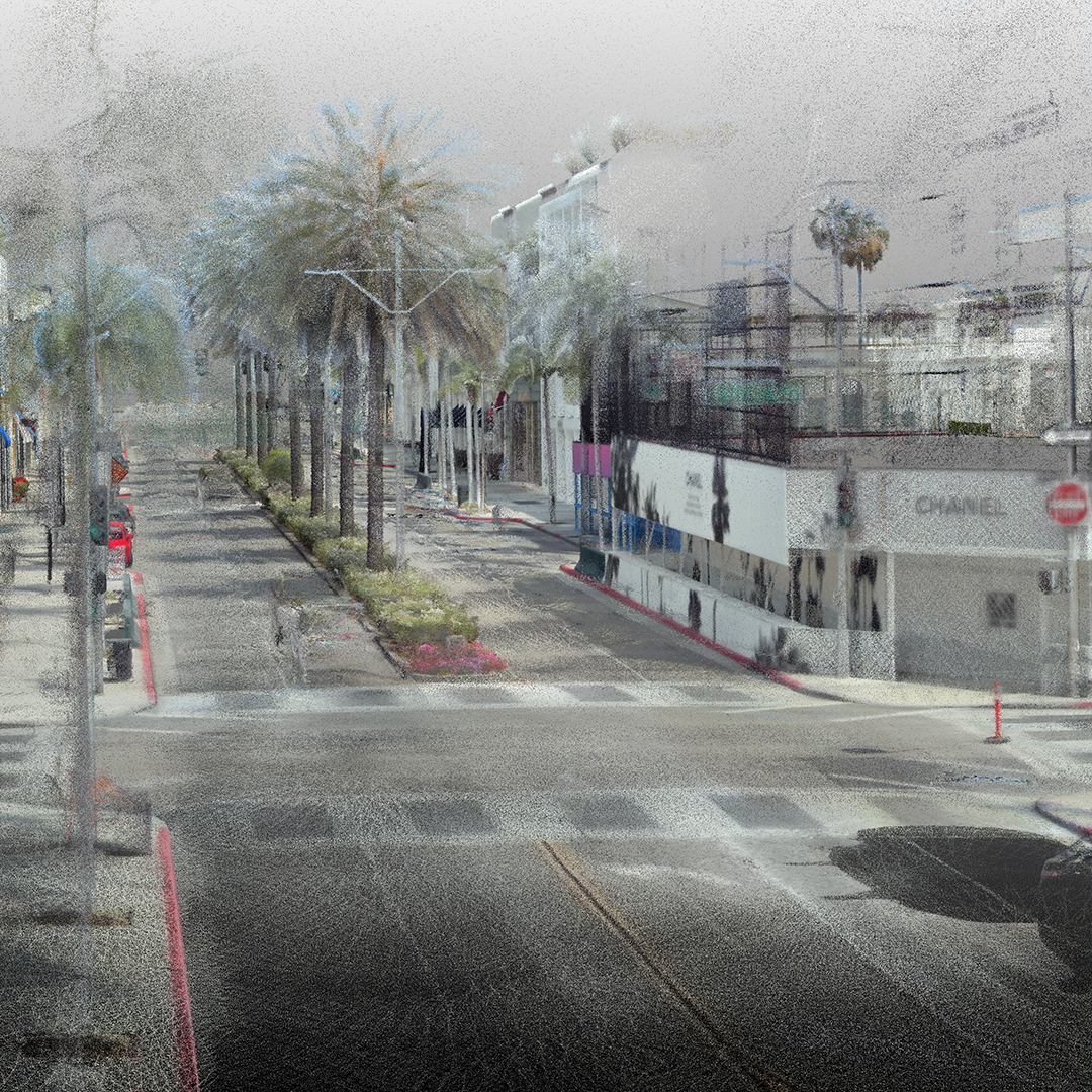
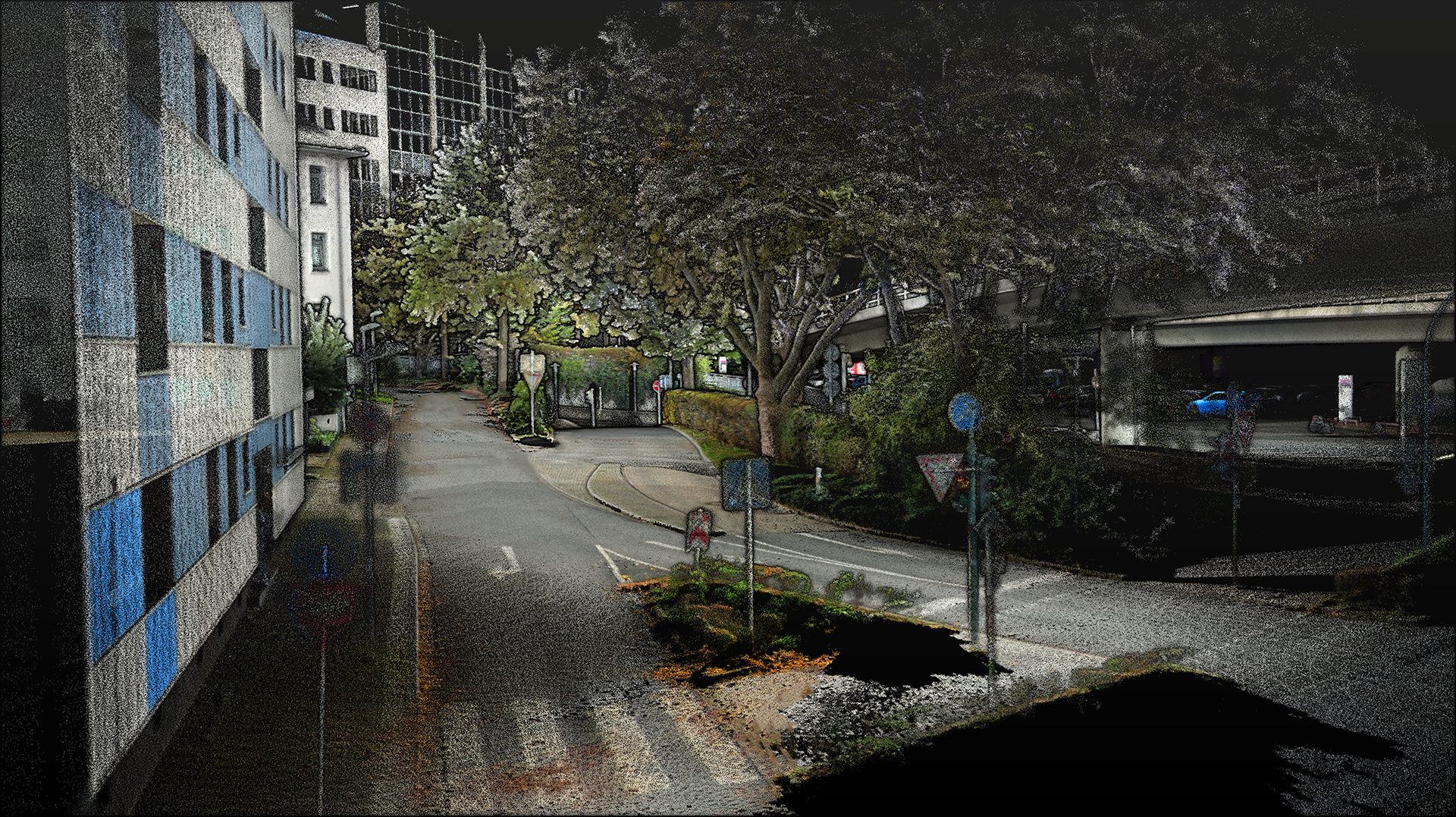
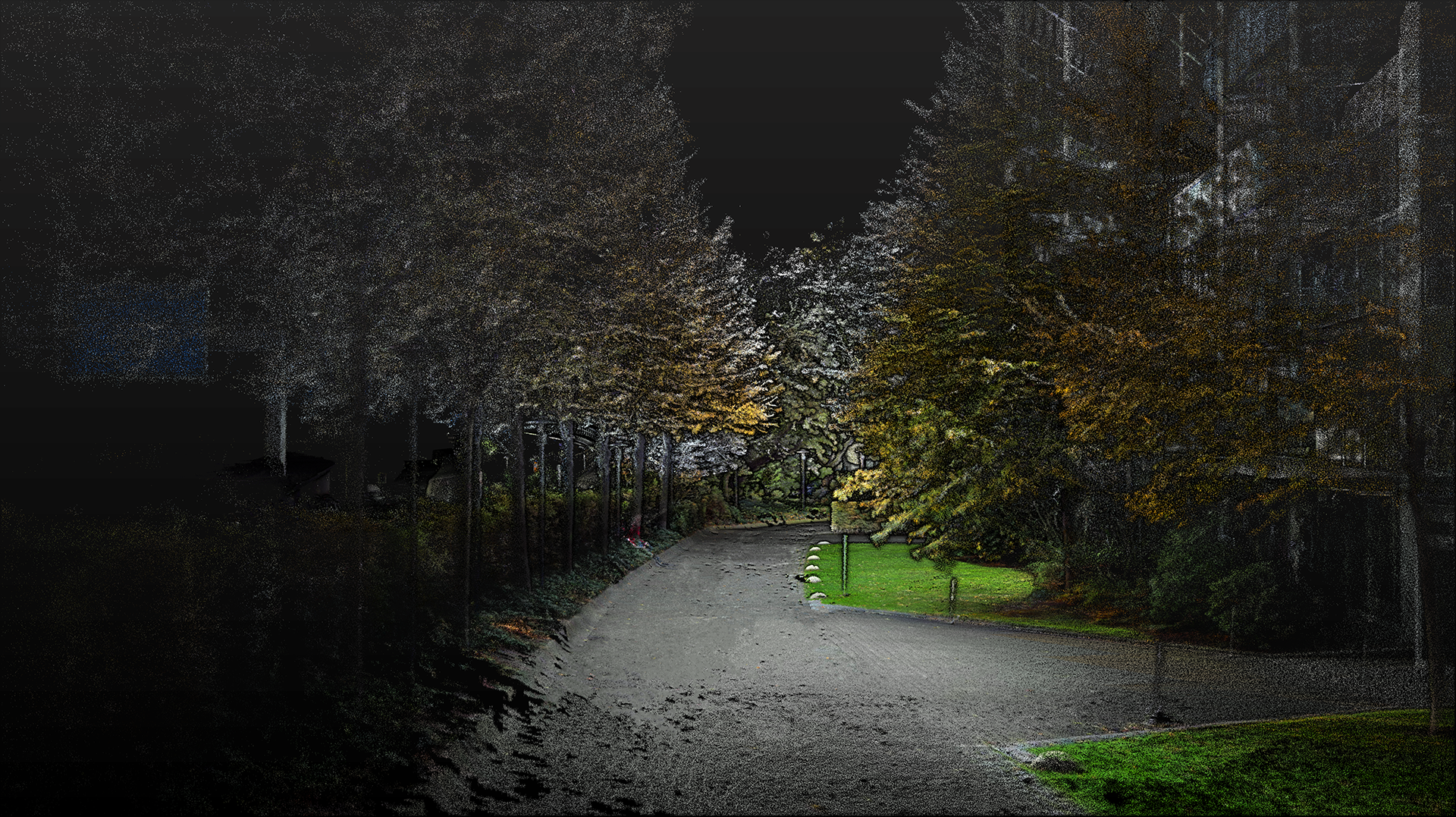
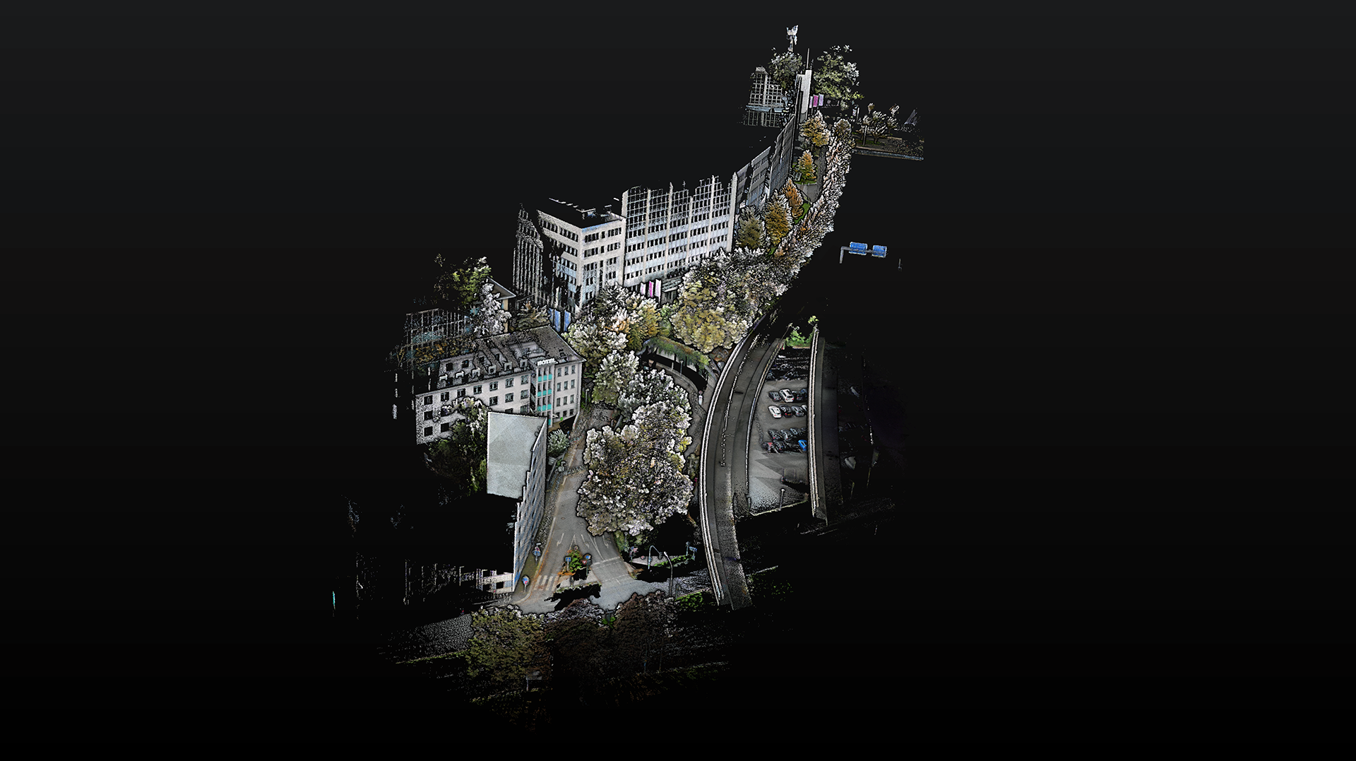
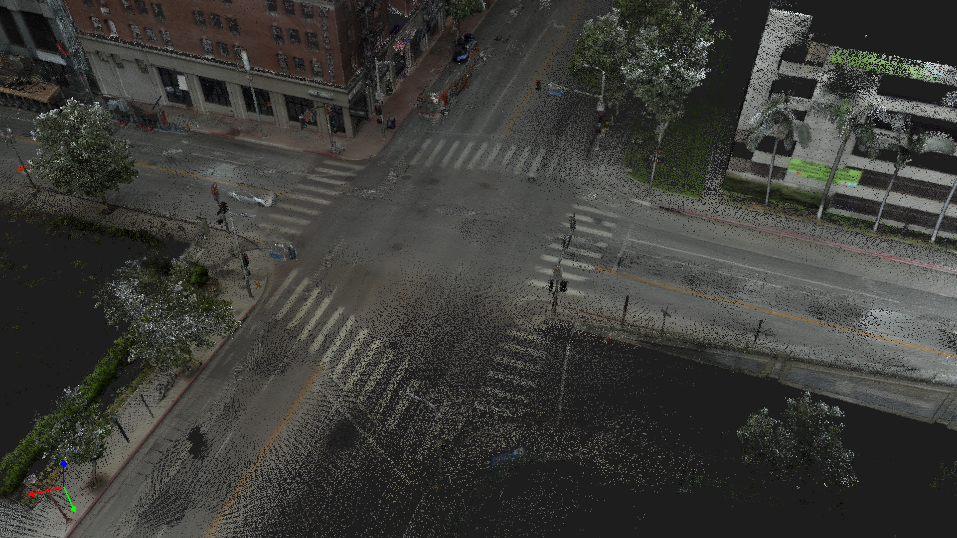
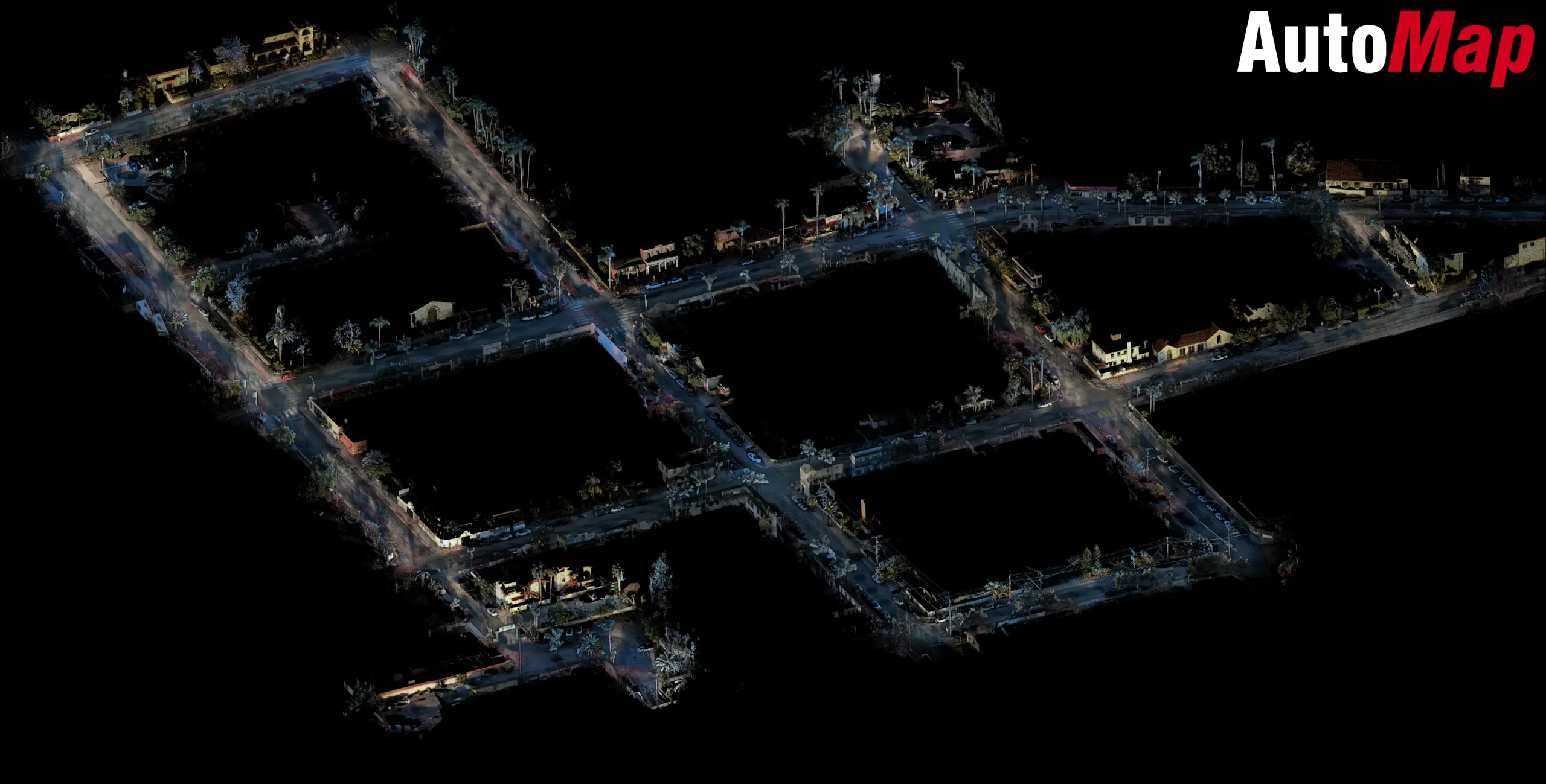
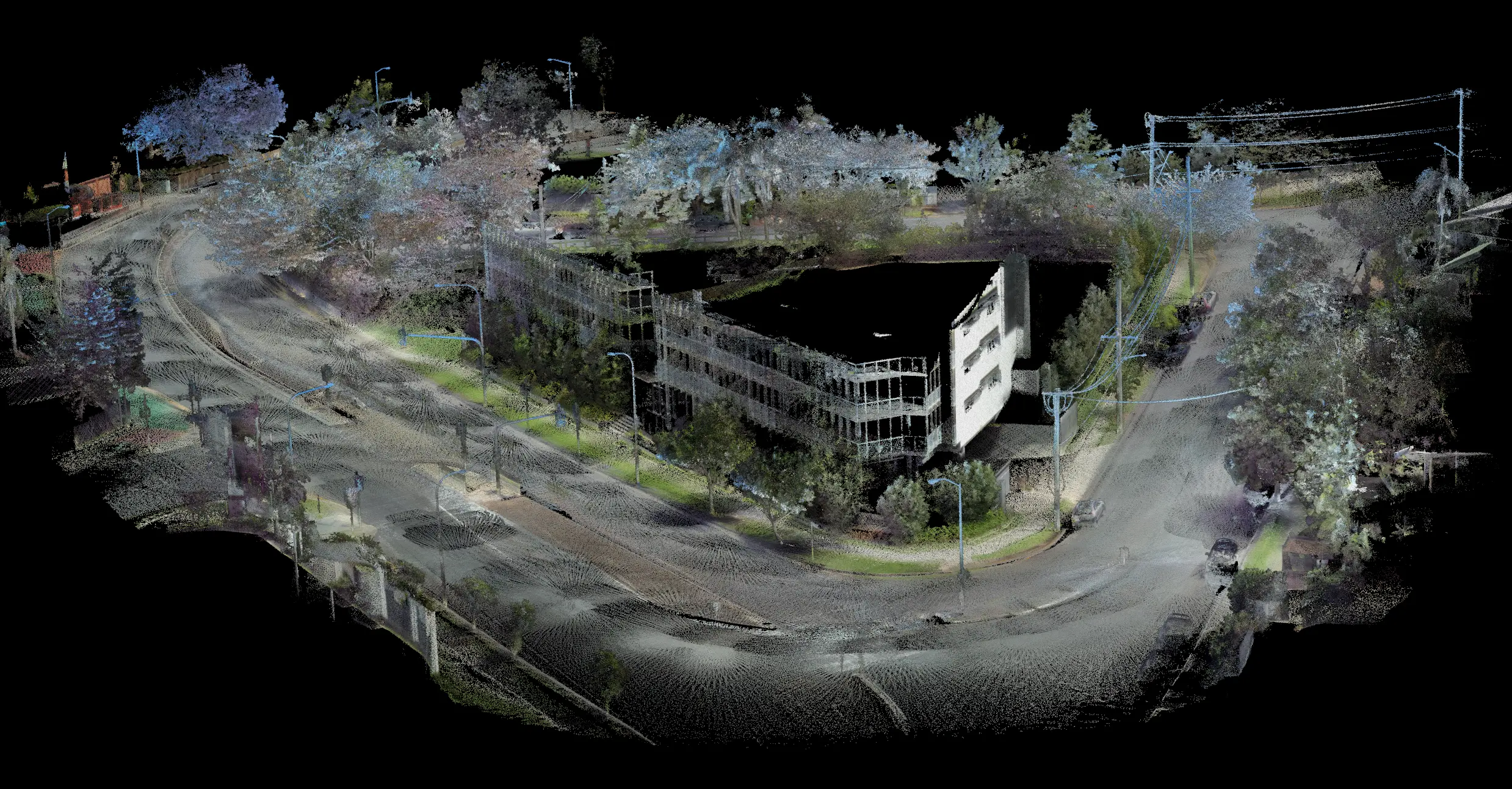
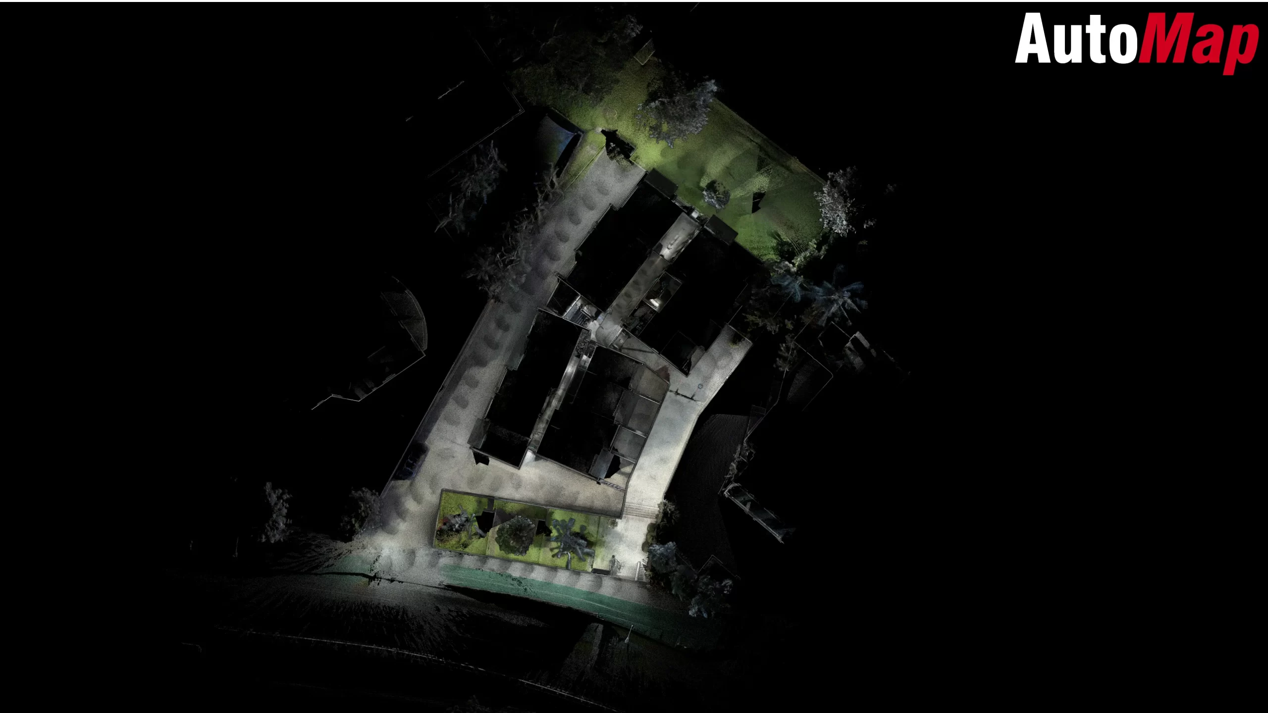
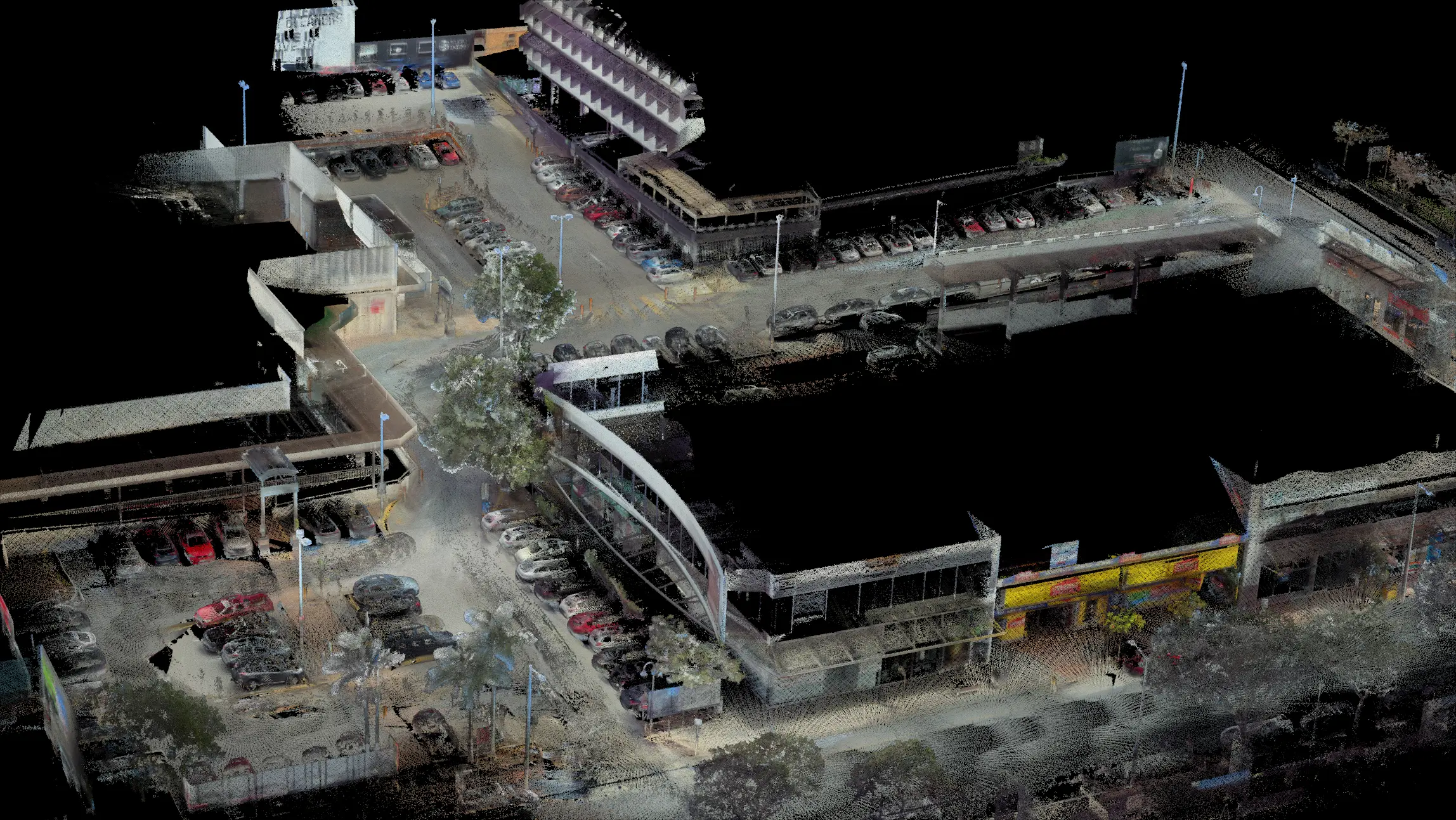
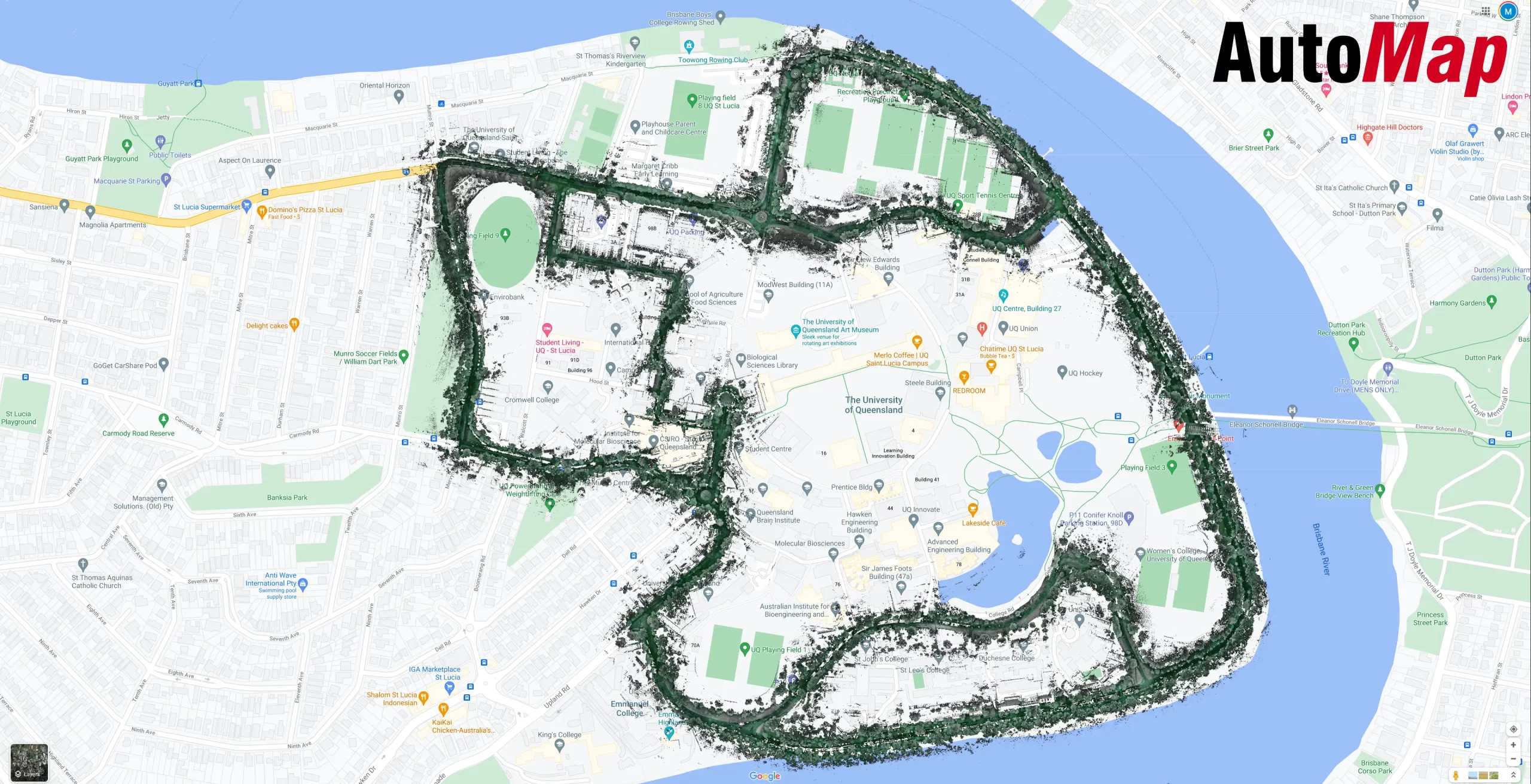
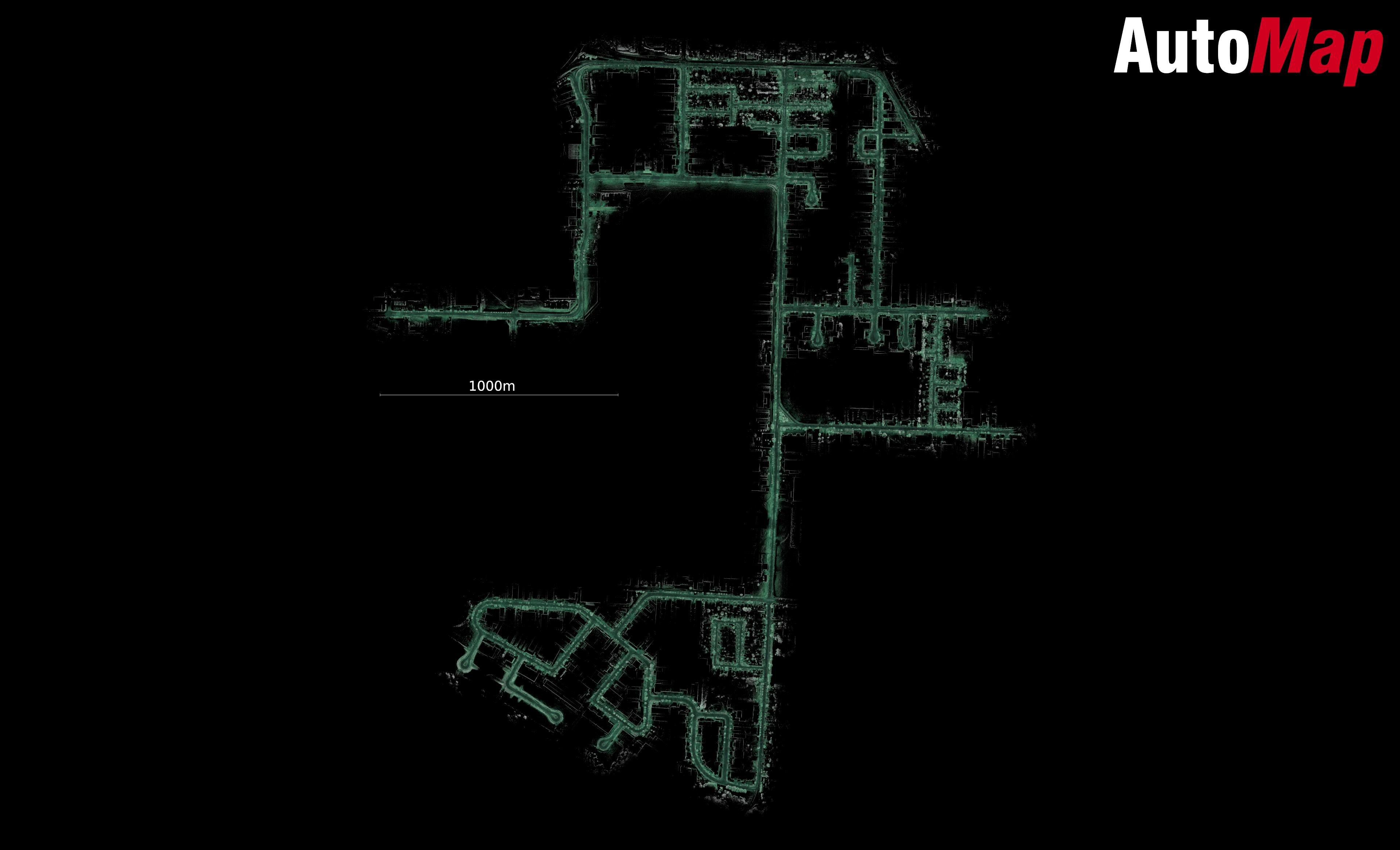
The showcase maps below have been captured by either vehicle or walking with the TerrusM. Colourised maps are generated on system as .Las or .Ply using 4 x 4k colour cameras located about the perimeter of the unit. The TerrusM is a highly evolved, ultra-low drift SLAM mapping system which can use external control to accurately and easily mitigate drift.

