
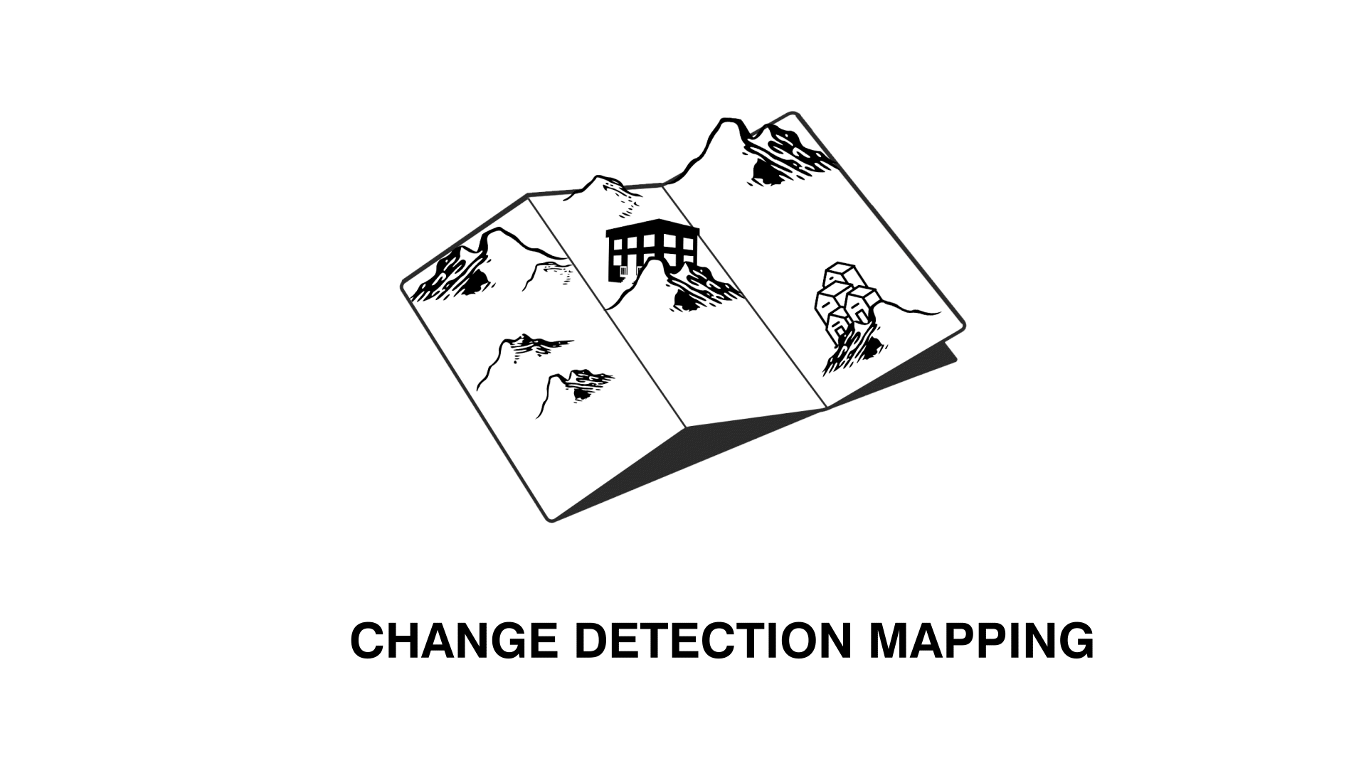
What Is Change Detection Mapping?
Change Detection Mapping is the task of capturing and comparing two Lidar scans to detect changes in a chosen environment over time.
This application is widely employed throughout surveying, construction and GIS industries for various purposes,
Including safety, Town planning and volumetrics.
How Does Change Detection Mapping Work?
Change Detection mapping works pretty much exactly how it sounds. Utilising industry standard software, Surveyors are able to compare a base map with a second scan to visualise and detect exact changes in environment . This makes it an ideal tool for Construction and Mining industries where the environment is constantly changing.
Where Are The Uses Of Change Detection Mapping?
TRACKING PROGRESS
A staple of the construction industry, LiDAR change detection mapping is harnessed to track the progress of active sites. This function is ideal for companies looking to use digital twins to document and report on structure installation.
TRACKING SHRINKAGE
Due to the consistent dangers of working in subterranean environments, Mining companies have begun to operate this technology as a way of tracking rock movement and shrinkage. This method of change detection mapping ensures a higher level of safety throughout the mine.
TRACKING MOVEMENT
Excellent for recording soil and earth movements,
Change Detection mapping is often used as a globally accurate way ofmeasuring volumetrics.
TRACKING IDENTITY
Largely used for GIS and town planning purposes, change detection is used to track where the environment’s physical structure has not changed, but its identity has. For example, when the Brisbane powerhouse converted from a power station to an art exhibition.
Change Detection Mapping Using SLAM
Thanks to the introduction of SLAM systems such as the TerrusM, Surveyors are now able to rapidly capture digital twins at a more frequent rate, streamlining the change detection mapping process.
Combined with the award winning WildCat SLAM software, these systems provide surveyors with a simple method of creating large scale captures for change detection mapping. Unlike other systems the TerrusM’s “Base mapping’ function seamlessly overlays and aligns both maps in unit without the need for external programs.
From this surveyors then have the additional option of wirelessly transferring scans to OrbisFuse for their final change detection reports. These combined maps create a globally accurate 3D environment that allows surveyors to detect changes in every angle, allowing for extremely indetail reports.
Where Can I find Change Detection Mapping software?
Once surveyors have captured their two differing point cloud maps, How do they compare them? For this task,
there is software available for cross layering maps and reporting data on map changes.
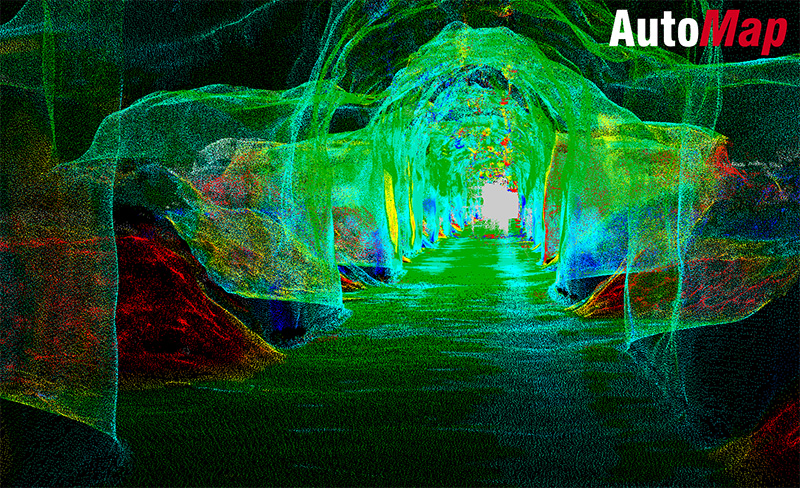
One such software is AutoMap’s Free cloud management system, OrbisFuse. Among its wide range of annotation functions, this high end software grants surveyors the ability to store large amounts of maps in an online cloud. This combined with the program’s “Change Detection” tool effortlessly allows users to visualise the differences in their maps at the push of a button.
To learn more and find out more about OrbisFuse visit:

