

Fresh perspectives.
From the field.
Explore how SLAM is changing energy, mining, rail and construction. Research insights, practical questions and real capture stories — with the evidence behind the ideas.
18 articles
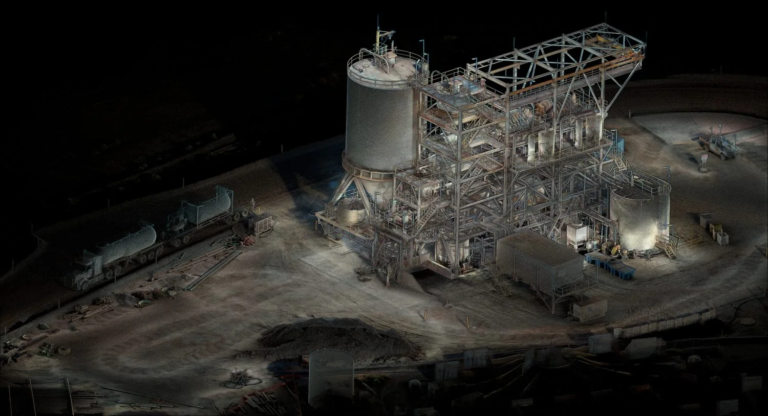
Substation Digital Twins: Build the Map Before Automating the Inspection
How SLAM mapping can support repeatable substation inspections, and why geometry, asset identity and inspection measurements need separate checks.
Read the story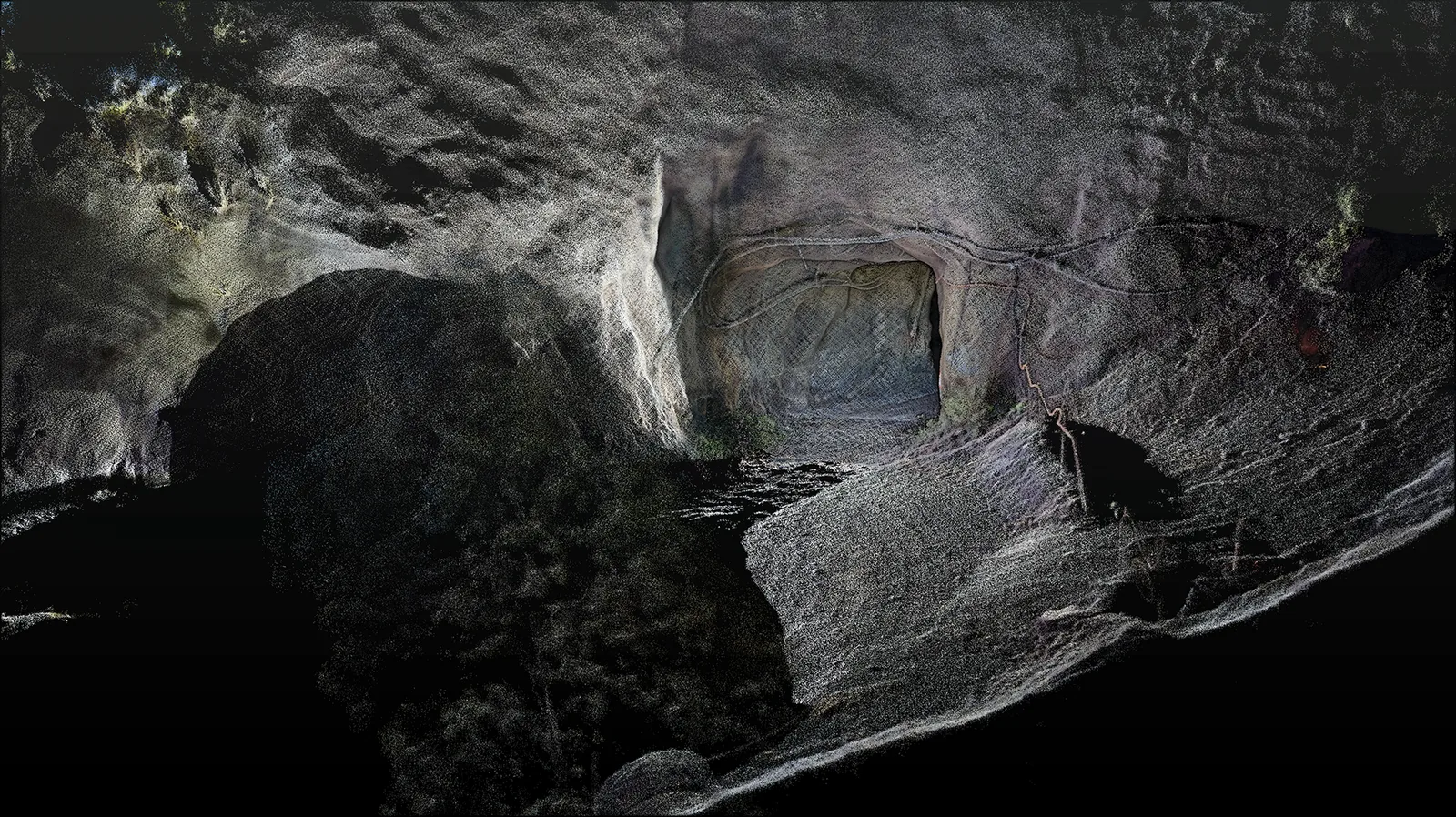
Underground SLAM: Why Long, Repetitive Mine Drives Challenge Your Map
Understand geometric ambiguity underground and plan a capture that can be checked beyond the portal.
Read the story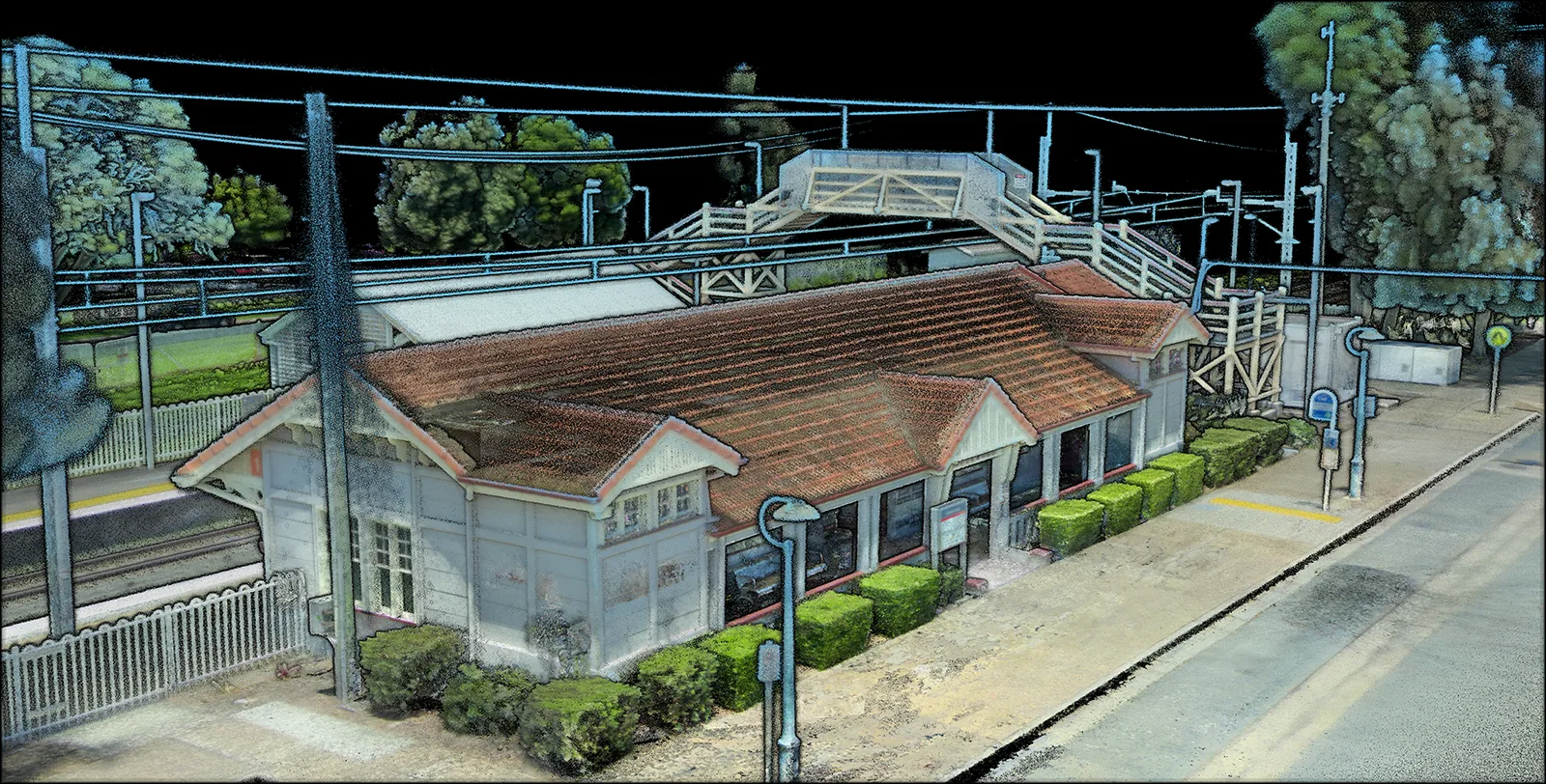
Rail Corridor Mapping: Connecting Open Track, Stations and Tunnels
What rail SLAM research reveals about sensor fusion, calibration and delivering a consistent corridor map.
Read the story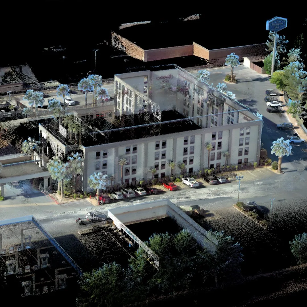
From SLAM to BIM: Making Site Captures Fit the Design Model
Why an exported point cloud is only the start of a reliable comparison between site conditions and the design.
Read the story
Nuclear Site Mapping: Putting Radiation Measurements in Their Spatial Context
How SLAM and specialist radiation sensing can work together, and what a geometric map cannot tell you on its own.
Read the story
From Mine Survey to Vehicle Navigation: One Site, Different Maps
Understand why surveying, localisation and automated navigation need different representations of the same underground environment.
Read the story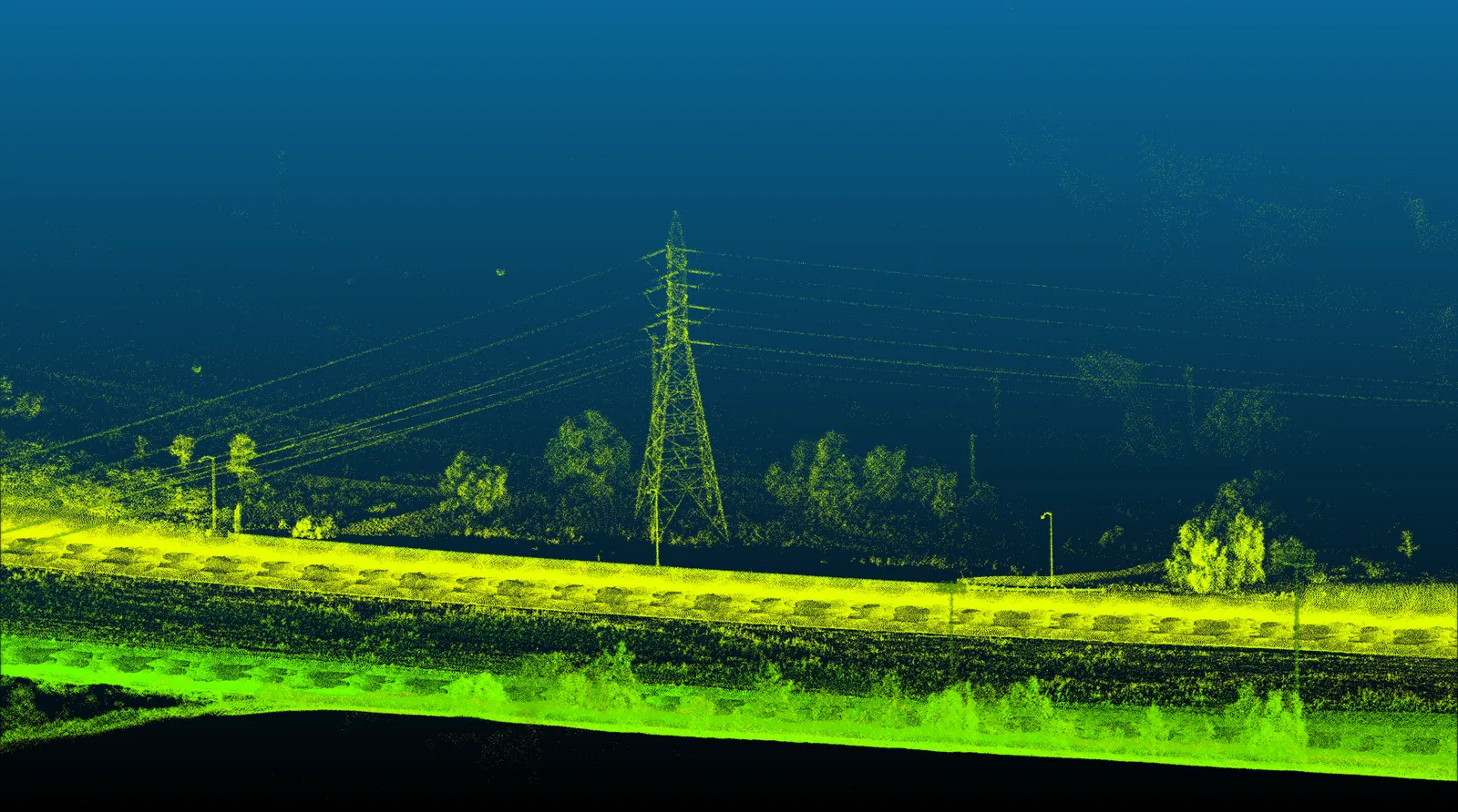
Rail Tunnel SLAM: Finding Reliable Position in Repetitive Geometry
Why tunnel matching can be ambiguous, and what semantic and magnetic SLAM research adds to the discussion.
Read the story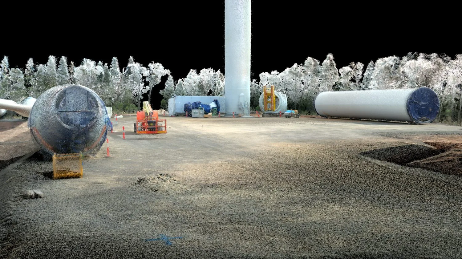
Construction Progress You Can Verify: Combining SLAM, BIM and Site Evidence
Build a progress-monitoring workflow that distinguishes completed work, design changes and areas the scanner could not observe.
Read the story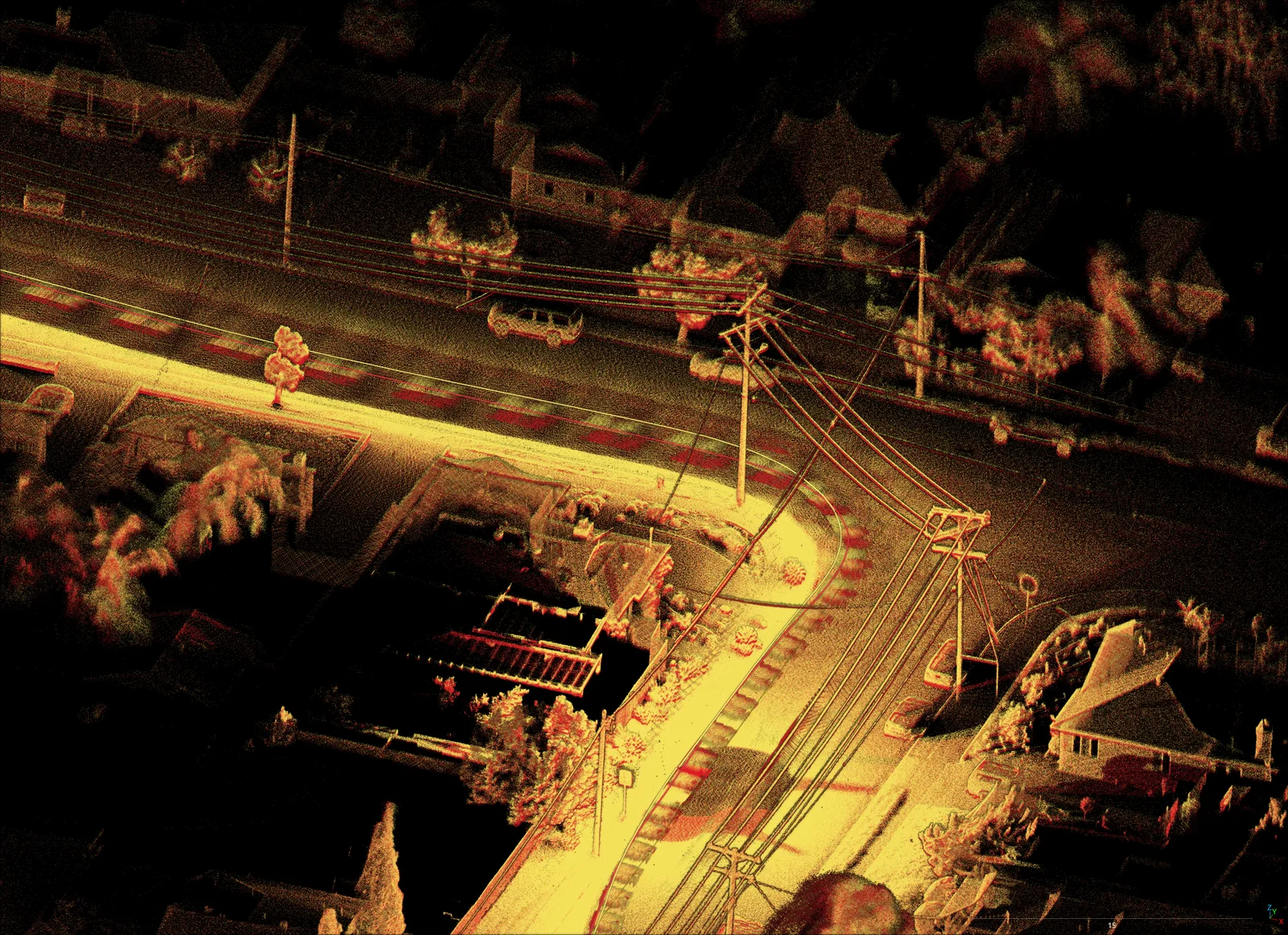
Has the Ground Changed? Reading Repeat SLAM Surveys in Underground Mines
How to distinguish real site changes from registration error, coverage differences and processing effects in repeat mine surveys.
Read the story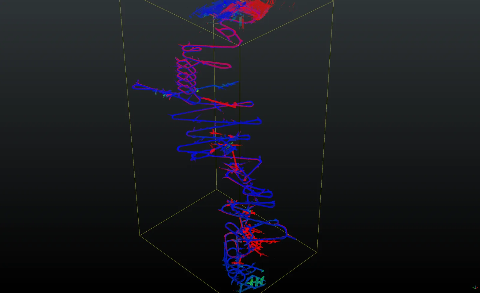
Choosing SLAM for Construction: Test the Hard Parts Before You Buy
Use lessons from the Hilti SLAM research to design a practical acceptance test for your own construction workflow.
Read the story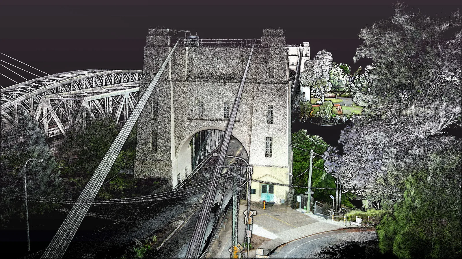
Complex Infrastructure
Replacing 200+ static setups with an hour of walking — how a mobile SLAM backpack captures bridges and urban cityscapes without closing a single road.
Read the story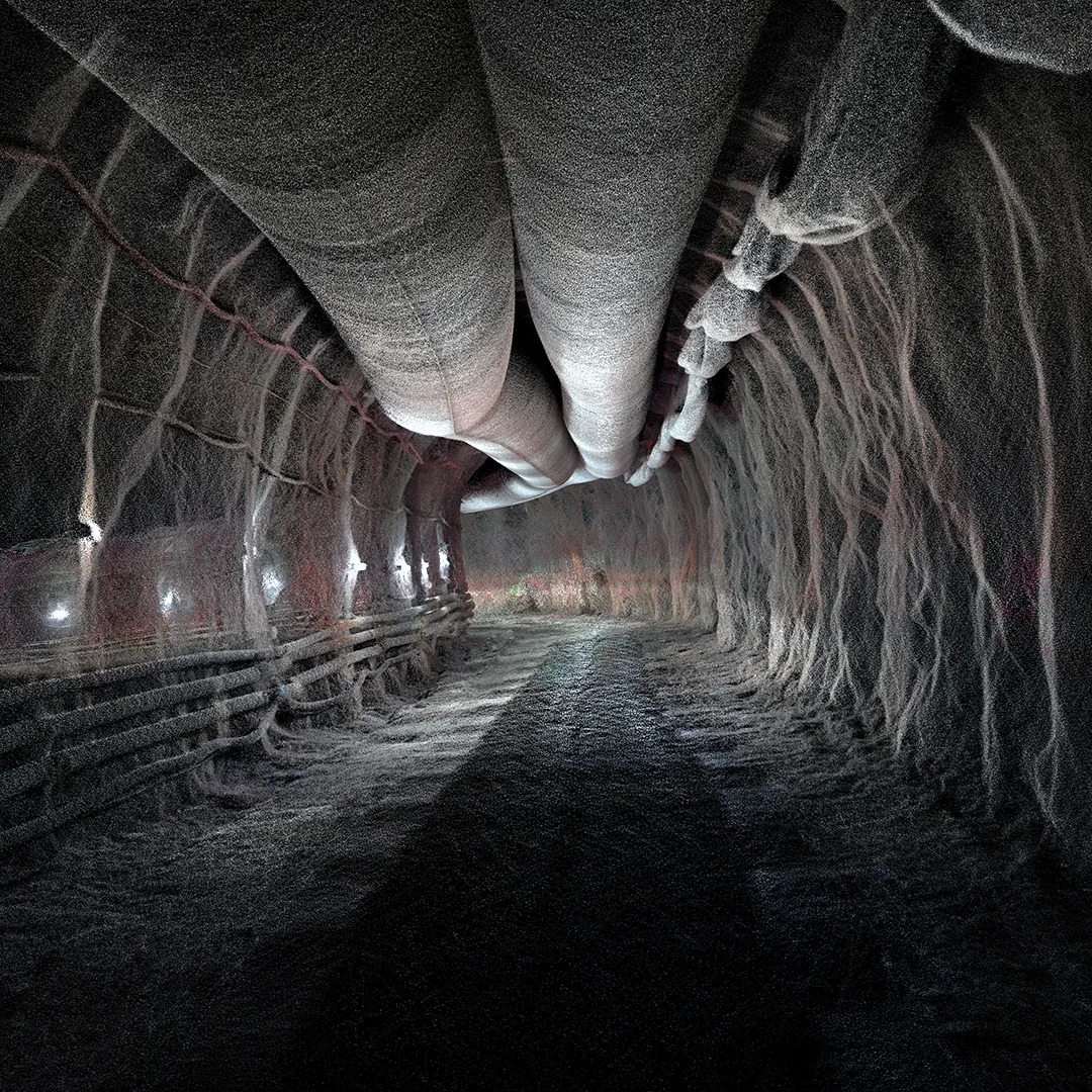
Survey Control for Global Accuracy
Tying GPS-denied SLAM captures to known survey control so underground and indoor maps meet real-world accuracy requirements.
Read the storyDetailed Digital Twins
Where drones can’t fly — indoors, underground, in confined plant — ground-based mobile LiDAR builds the colourised digital twin instead.
Read the storyLow Detail Subterranean Areas
A repeatability study through the Ernest Junction Railway, proving how consistently TerrusM holds its odometry in low-detail tunnels.
Read the storyLinear SLAM Mapping
Mapping Wolston Rd end-to-end to measure how WildcatSLAM’s odometry performs over long, feature-light linear surface routes.
Read the storyAutonomous Inspection Vehicle
Mounting an AutoMap scanner on an autonomous rover — developed with BIA5 — to map and inspect large sites repeatedly, with no operator on the loop.
Read the storySurvey Mapping
Why repeatability — not a single accurate capture — is the SLAM characteristic that makes a map trustworthy enough to survey against.
Read the storyUnderground Localisation
An overview of the failure modes that decide whether a SLAM localisation holds underground — slip, drift, aliasing and global repeatability.
Read the story