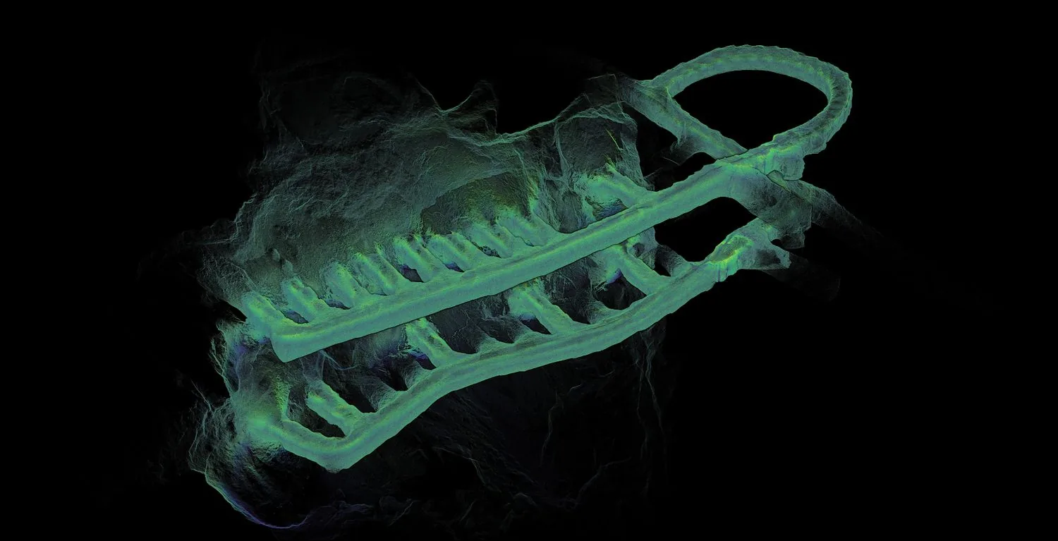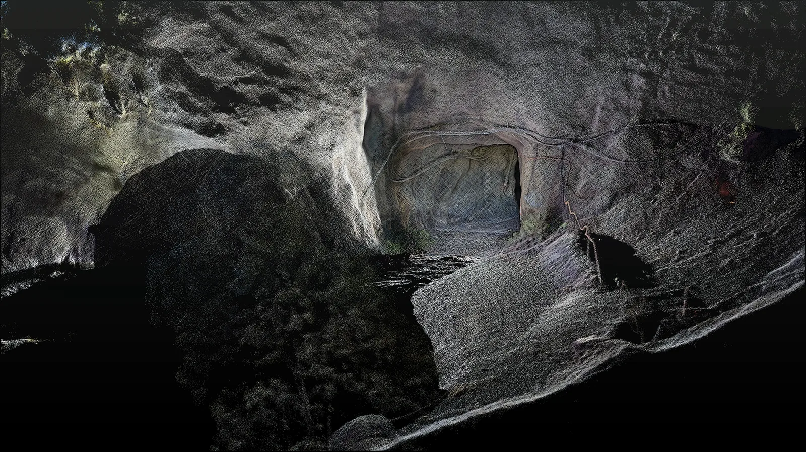
When visible detail does not fix position
SLAM estimates movement while building a map from successive observations. In a repeating corridor, several alignments may fit the nearby surfaces reasonably well. A clean-looking local cross-section can therefore coexist with a distorted trajectory along the drive. For an underground survey brief, the key question is how uncertainty develops through the whole route, including sections without distinctive junctions.
Three lessons from underground research
A Remote Sensing study of coal-mine robots explicitly detects directions in which geometric constraints weaken. It then uses inertial information to compensate within its estimation process. This illustrates why sensor fusion needs to respond to the quality of the environment rather than simply combine more measurements. Its reported results describe the tested method and scenes, not a universal underground accuracy level.[1]
The LG-SLAM framework takes a broader approach, combining range and inertial observations, optional GNSS information, submaps and graph optimisation. Its loop-closure process considers uncertainty when validating a suspected revisit. For mine mapping, that distinction matters: recognising a familiar place is useful only when it really is the same place.[2]
The survey of six DARPA Subterranean Challenge teams describes additional practical pressures, including dust or other obscurants, limited computing resources and coordinating multiple robots. Successful underground mapping is consequently a system problem. A strong estimator still depends on usable observations and a platform that can complete the mission.[3]
Plan a route that produces evidence
A practical response is to identify the difficult sections before capturing them. Mark long uniform runs, significant junctions, abrupt transitions and areas where equipment may obscure the walls. Discuss supported loop patterns and control integration with the mapping provider. An out-and-back walk is not automatically a reliable loop closure if the views remain ambiguous.
- Include distinctive, stable geometry where the authorised route allows it.
- Place independent checks in the difficult section, not only near the start.
- Record visibility changes, interruptions and unusual vehicle movements.
- Review both the trajectory and the resulting surfaces before accepting coverage.
Accept the route, not just the best screenshot
Consider a capture that produces a crisp portal but bends a straight drive farther inside. A visual check at the entrance would miss the problem. The acceptance review should examine where the map is weakest and whether it meets the actual deliverable requirements. Where evidence is insufficient, a targeted recapture or additional reference information is more useful than hiding the uncertainty in a polished point cloud.
When discussing an underground AutoMap capture, share the route layout and the intended use of the data. Those details help turn a generic scanner demonstration into a meaningful test of the environment.
Sources & further reading
This original article draws on the research below. Practical recommendations are editorial synthesis; the cited studies are not performance claims for AutoMap products. Sources checked on 10 September 2026.
- 01A Robust LiDAR SLAM Method for Underground Coal Mine Robot with Degenerated Scene Compensation
Remote Sensing · 2023 · Journal article
- 02From Underground Mines to Offices: A Versatile and Robust Framework for Range-Inertial SLAM
ROBOT 2024 / author manuscript on arXiv · 2024; revised 2025 · Conference paper
- 03Present and Future of SLAM in Extreme Underground Environments
arXiv · 2022 · Research survey manuscript