Recognise the ambiguity before capture
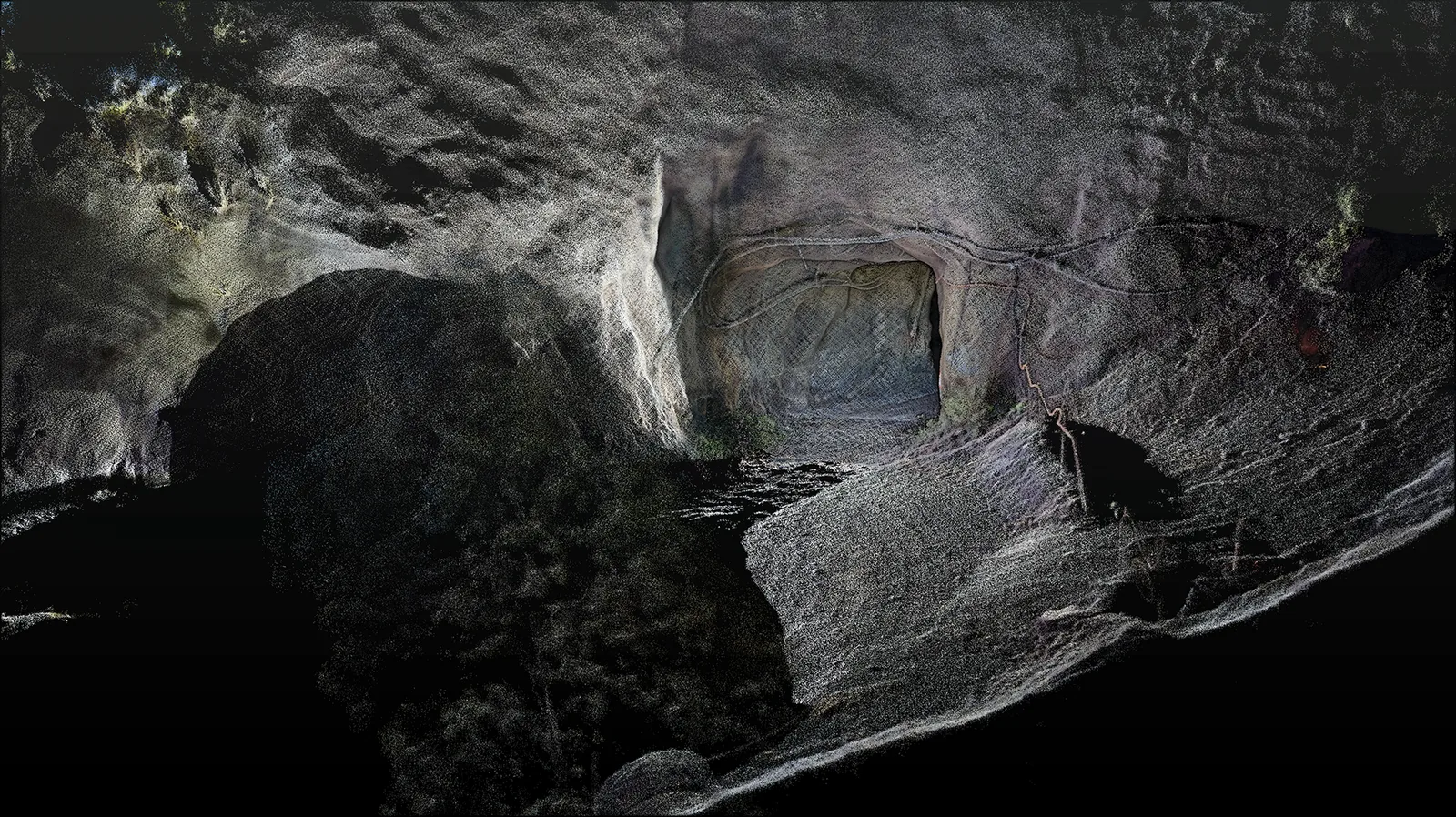
If repeated surfaces dominate the view, a scan can fit more than one place in the map. That creates a challenge for both continuous tracking and recovery after an interruption. A useful survey discussion should identify how the system establishes an initial position, recognises uncertain matches and checks the trajectory farther into the tunnel.
Three different research responses
A 2025 subway-tunnel study uses a coarse-to-fine registration strategy to match scans against a known map. It combines geometric feature extraction with subsequent refinement and pose optimisation. Its per-frame registration findings should be read as evidence about that tested matching process, rather than a guarantee of absolute accuracy over an entire rail corridor.[3]
SERail-SLAM uses semantic information to help distinguish railway structures and reduce incorrect geometric associations. It also considers the confidence of those labels. However, the paper’s validation mainly concerns relatively flat railway terrain; its findings should not be presented as proof that long tunnels or mountainous routes have been comprehensively solved.[1]
DLR and KIT research explores a different signal: repeatable magnetic variations along a railway. Using odometry and magnetic observations, its graph-SLAM method detects revisits and reduces accumulated position error in a Berlin rail dataset. This is a localisation approach, not a substitute for the dense geometry required to survey a tunnel lining or nearby assets.[2]
Ask for evidence at the weak locations
Our practical recommendation is to evaluate the sections that are most likely to produce ambiguity. A demonstration around a distinctive portal may say little about a uniform run beyond it. Include restart and revisit scenarios in an agreed test, and examine the resulting position estimates against independent references distributed through representative areas.
- Check how initial alignment is established and verified.
- Inspect repeated bays, service corridors and long sections without junctions.
- Record tracking interruptions and explain how they were resolved.
- Keep local matching statistics separate from whole-route survey checks.
Connect the map to the intended inspection
For a condition record, the team may need repeatable locations and clear imagery. A dimensional assessment may need stronger evidence at specific surfaces and a defined uncertainty budget. Those requirements should shape the capture and verification plan. No single headline registration figure describes all of them, and research on train localisation is not equivalent to approval for safety-critical railway operation.
A well-documented tunnel map lets the customer trace a feature back to its capture and understand how its position was established. That is a more useful outcome than a visually continuous model with unexplained gaps in the evidence behind it.
Sources & further reading
This original article draws on the research below. Practical recommendations are editorial synthesis; the cited studies are not performance claims for AutoMap products. Sources checked on 10 September 2026.
- 01SERail-SLAM: Semantic-Enhanced Railway LiDAR SLAM
Machines · 2026 · Journal article
- 02Magnetic Field Mapping of Railway Lines with Graph SLAM
FUSION 2024 / DLR and KIT · 2024 · Conference paper
- 03Laser SLAM Matching Localization Method for Subway Tunnel Point Clouds
Sensors · 2025 · Journal article