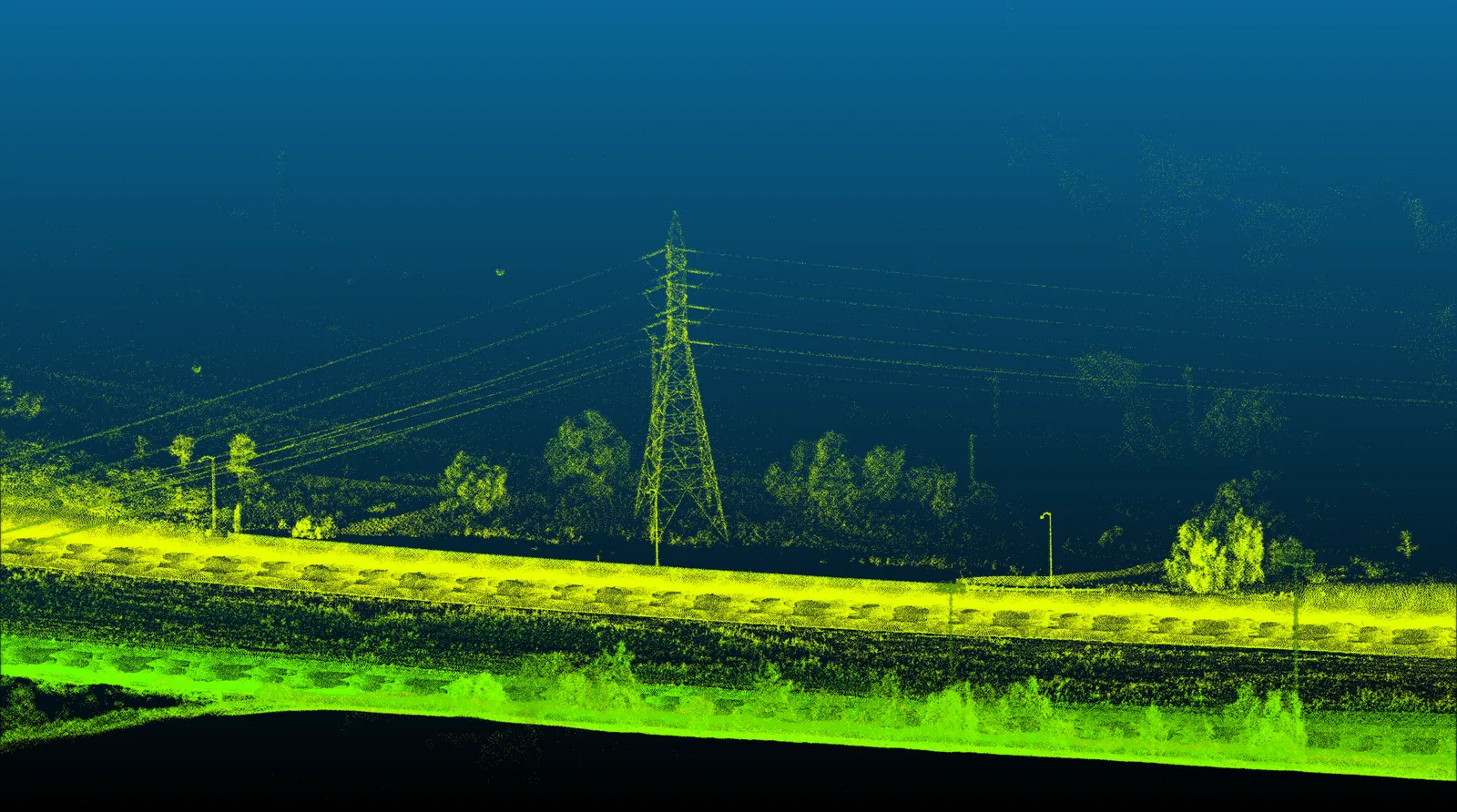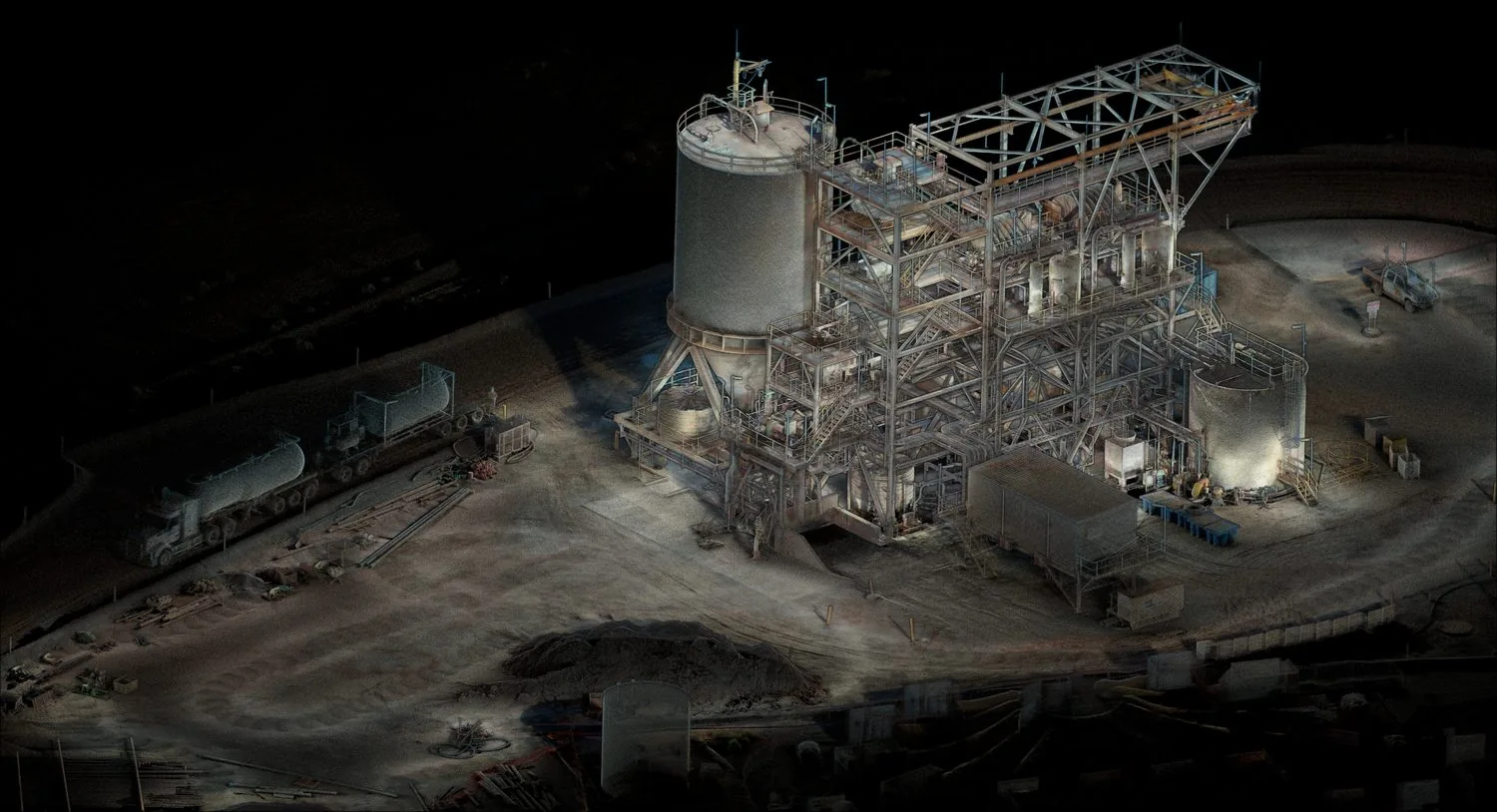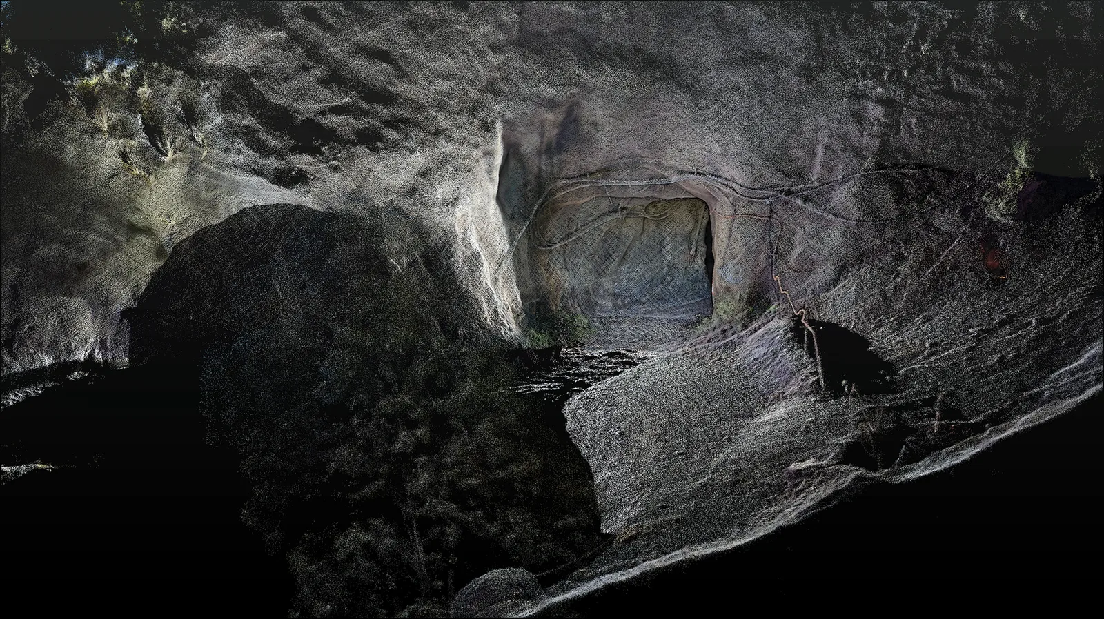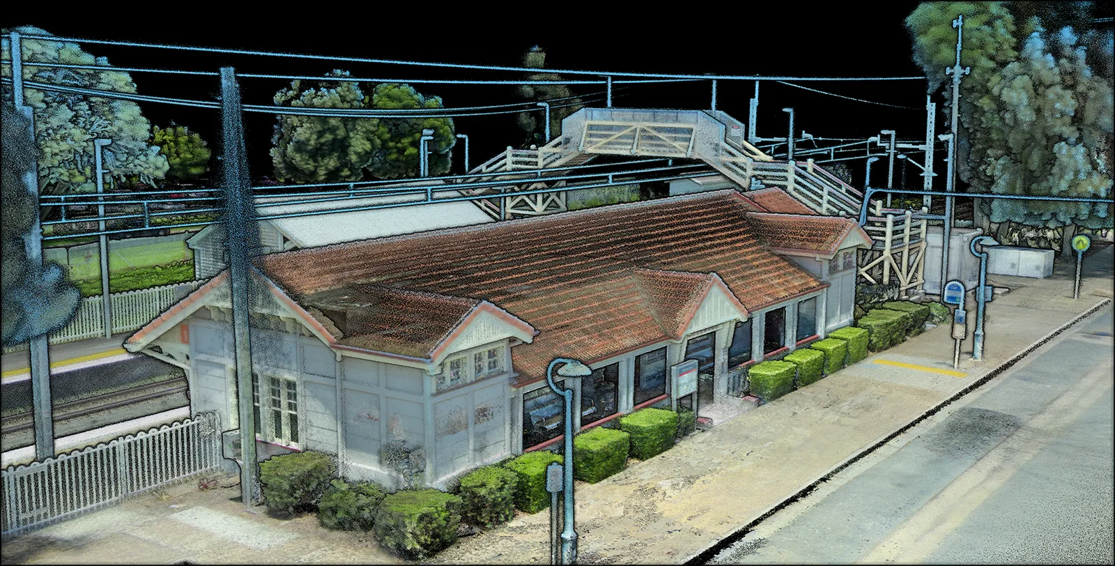
A corridor has several kinds of difficulty
An open section may provide satellite positioning but relatively little nearby structure. A station supplies abundant geometry alongside moving people or vehicles. A tunnel removes satellite visibility and introduces repeated surfaces. A useful project trial should deliberately include these changes, rather than demonstrate only a convenient section with strong positioning and clear sightlines.
What long-term rail work teaches
A four-year rail odometry and mapping study describes an inertial-centred framework that combines several sensor types and uses railway features such as track planes and power pillars. It also describes reconfiguration around failed sensor modules. The practical implication is to examine how a system recognises a weakened input and continues estimating its state.[1]
Related multi-LiDAR research addresses synchronisation, different sensor placements, rail-plane constraints and refinement of calibration during long-term operation. Multiple viewpoints can improve what is observed, but their measurements must remain consistent. A mounting or calibration change can compromise the combined result even when each LiDAR still produces plausible individual scans.[2]
RailLoMer-V combines odometer-assisted LiDAR/inertial and visual/inertial subsystems with GNSS support. Its evaluation includes different rail environments and lighting conditions. These papers are related work from the same research group, so they show a developing engineering approach rather than three independent confirmations of every performance claim.[3]
Specify the deliverable before the sensor package
For an asset inventory, the priority might be locating structures and preserving imagery. For a dimensional survey, the priorities include the reference frame, verified geometry and uncertainty at the features being measured. Describe those requirements separately. A trajectory suitable for placing observations along a route does not automatically establish that every small feature is measured to the required tolerance.
- Include open-to-tunnel and station transitions in the acceptance route.
- Document calibration, time synchronisation and the actual mounting arrangement.
- Distribute independent survey checks across representative corridor conditions.
- Identify moving objects, obscured infrastructure and sections requiring additional capture.
Keep the decision boundary clear
A research mapping demonstration does not establish approval for signalling or safety-critical train positioning. Those applications involve their own assurance requirements. For survey teams, the immediate value is a more coherent spatial record that supports qualified interpretation of assets and their surroundings. Site access and operational arrangements remain part of the railway operator’s controlled work process.
Our recommended handover combines the map with capture conditions, control checks, processing details and an exception list. A customer should be able to understand where the result is strong and where further evidence is needed, without reconstructing the entire field campaign from memory.
Sources & further reading
This original article draws on the research below. Practical recommendations are editorial synthesis; the cited studies are not performance claims for AutoMap products. Sources checked on 10 September 2026.
- 01Four years of multi-modal odometry and mapping on the rail vehicles
Journal of Field Robotics / author manuscript on arXiv · 2023 · Journal manuscript
- 02Simultaneous Location of Rail Vehicles and Mapping of Environment with Multiple LiDARs
arXiv · 2021 · Research manuscript
- 03Rail Vehicle Localization and Mapping with LiDAR-Vision-Inertial-GNSS Fusion
arXiv · 2021 · Research manuscript