

Complex places.
Clearer possibilities.
From an underground shaft to an entire streetscape. Explore how AutoMap turns the places you work into data you can use.
Where will you take AutoMap?
 01 / APPLICATION
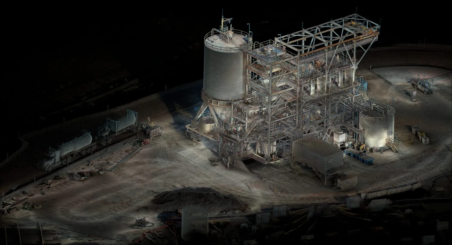
Plant digitization
Turn complex industrial facilities into navigable digital twins for maintenance, retrofit planning, and operator training.
 02 / APPLICATION
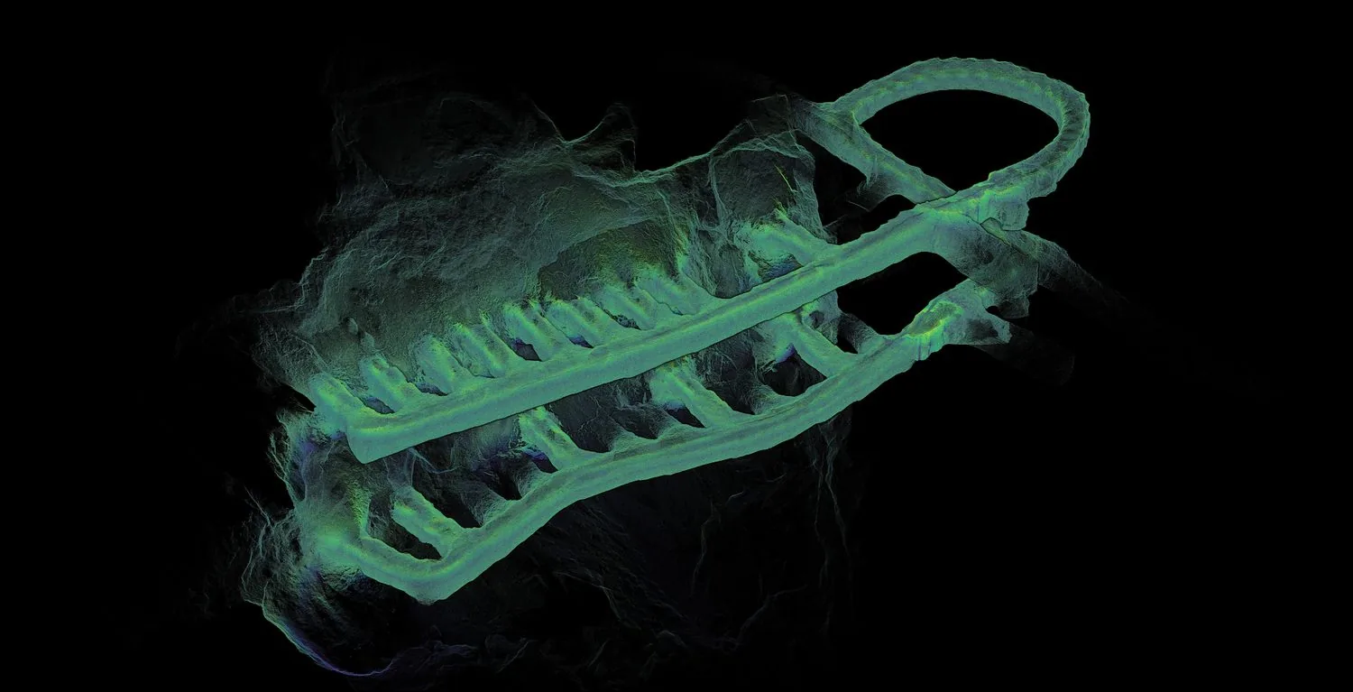
Underground mapping
Capture survey-grade maps in GPS-denied environments — mines, tunnels, and subterranean infrastructure — without sacrificing accuracy.
 03 / APPLICATION
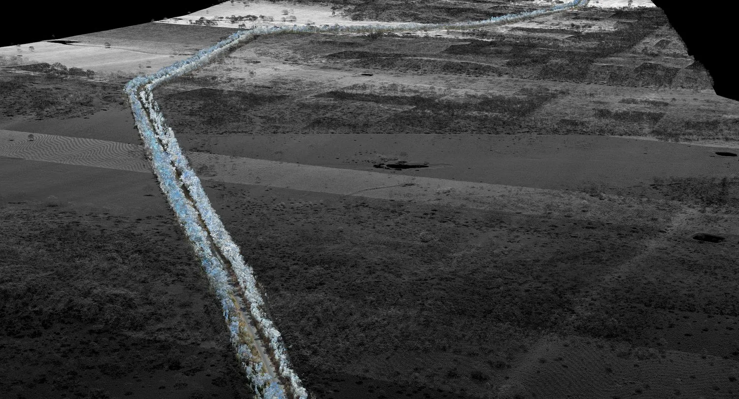
Road scanning
Mobile-mounted capture of road corridors with RTK and PPK GPS fusion for grid-aligned outputs and rapid coverage.
 04 / APPLICATION
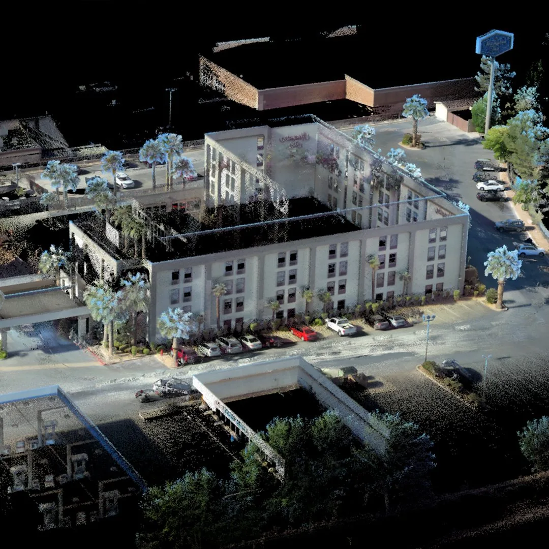
Building documentation
Walk through a structure once to produce a colourised point cloud suitable for BIM, facilities management, and as-built records.
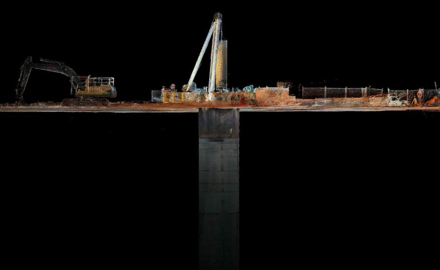 05 / APPLICATION
Shaft inspection
Lower the sensor pack into shafts, declines, and drawpoints to capture geometry where human access is unsafe or impractical.
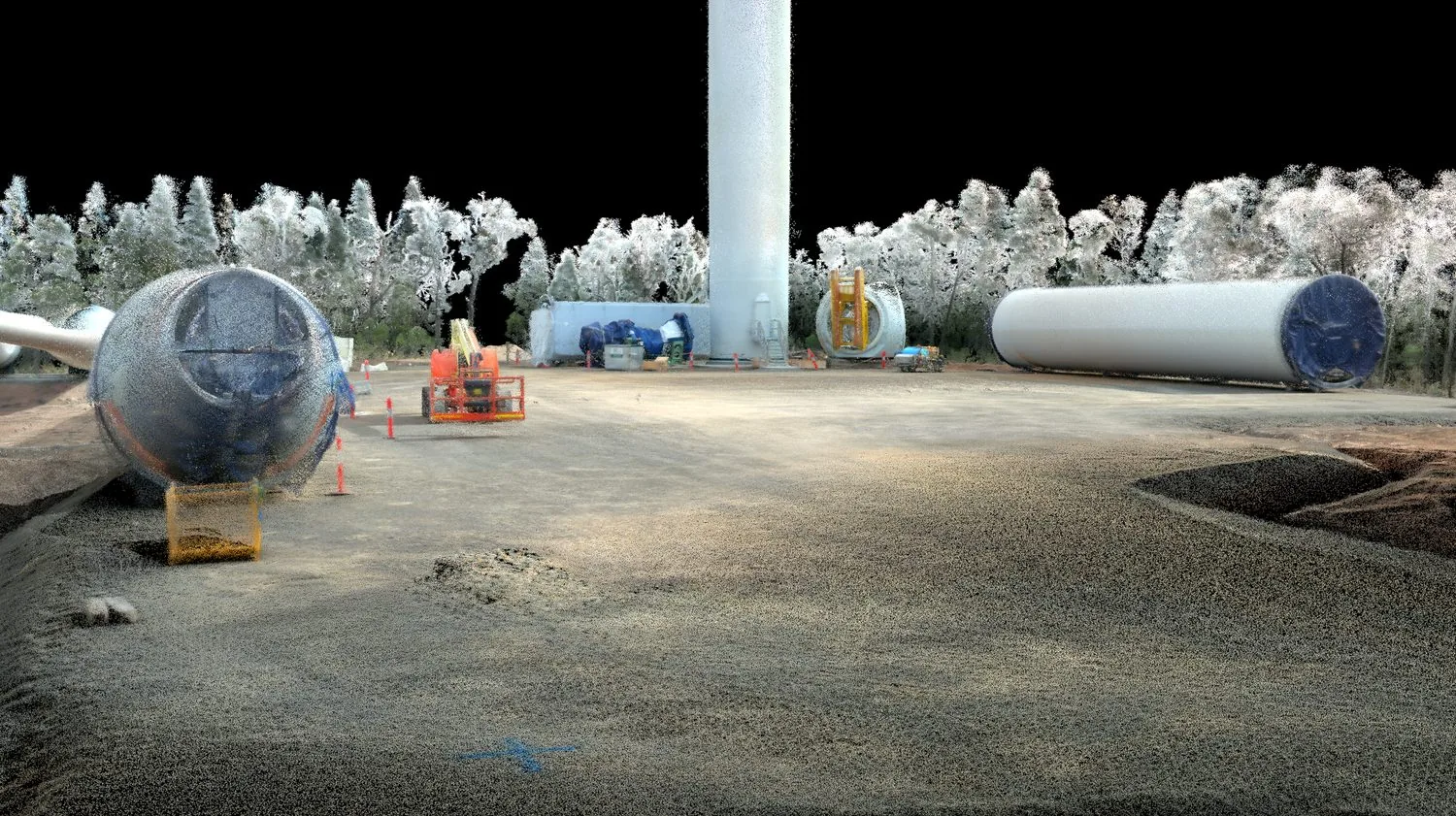 06 / APPLICATION
AEC
Architecture, engineering, and construction teams use AutoMap to verify progress against design and to share spatial data instantly.