
The Critical Importance of Repeatability in SLAM LiDAR Mapping for Surveying
For clients and stakeholders, repeatability is integral to building trust in SLAM technology. Whether it’s in geospatial surveying, construction planning, or infrastructure management, users need assurance that the technology will perform reliably under a wider array of scanning conditions. Repeatability provides the confidence that the system can be depended upon to deliver accurate and stable results, fostering greater adoption and investment in SLAM technologies.
Building Trust in Technology
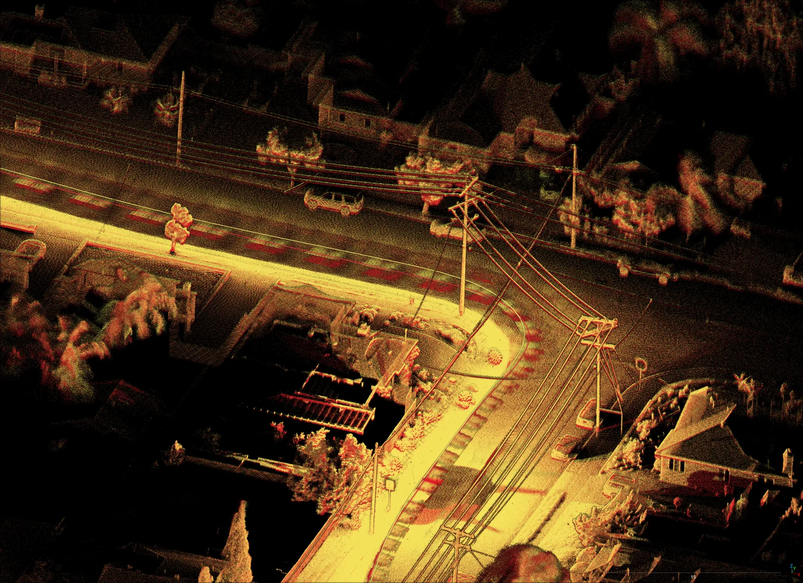
Role of PPK GPS
Post-Processing Kinematic (PPK) GPS is a technique used to enhance the accuracy of positioning data collected by GPS receivers. In surveying, PPK GPS is utilized to correct the raw positional data by comparing it with data from a reference station. This process significantly improves the accuracy and repeatability of the GPS data, which is critical for high-precision surveying tasks.
Integration with SLAM Systems
Integrating PPK GPS within the SLAM engine ensures that the positional data used for mapping is highly accurate. This integration helps to realign the sensor’s trajectory to compensate for drift. This ensures map accuracy with the actual geographic coordinates which in turn reduces discrepancies and enhances repeatability. PPK GPS provides a reliable positional reference that can correct any accumulated drift in the SLAM system, ensuring that repeated surveys of the same area yield consistent results.
More industry articles.
Complex Infrastructure
Replacing 200+ static setups with an hour of walking — how a mobile SLAM backpack captures bridges and urban cityscapes without closing a single road.
Read articleSurvey Control for Global Accuracy
Tying GPS-denied SLAM captures to known survey control so underground and indoor maps meet real-world accuracy requirements.
Read articleDetailed Digital Twins
Where drones can’t fly — indoors, underground, in confined plant — ground-based mobile LiDAR builds the colourised digital twin instead.
Read articleMap your own challenging environment.
Tell us about your site. We’ll recommend the right AutoMap capture setup and walk you through the data in OrbisFuse.