Give each map a defined job
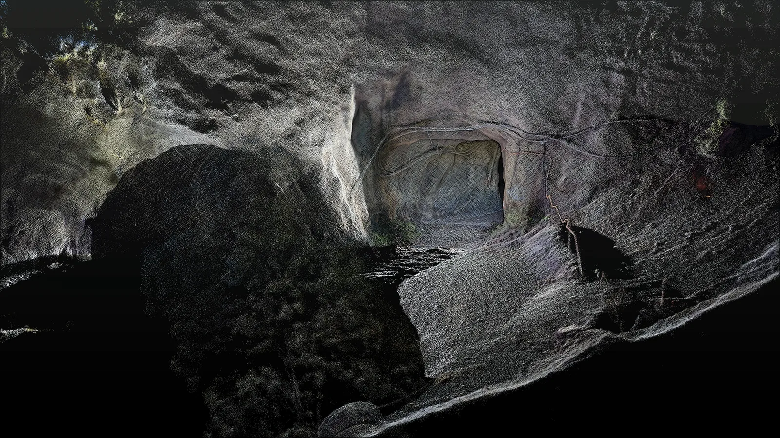
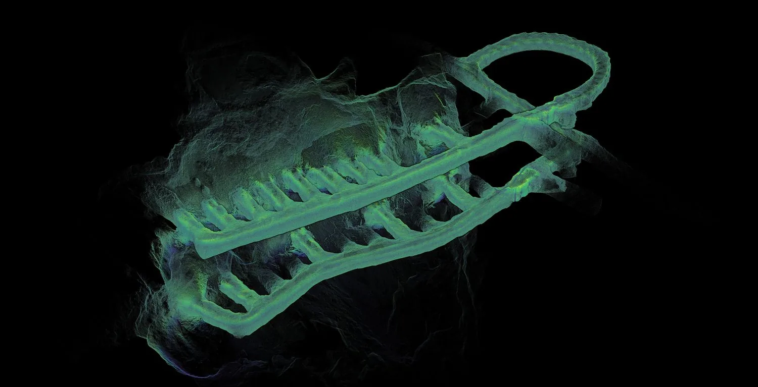
A survey team may need a dense record of walls, services and excavated geometry. A vehicle system may need a smaller representation that supports rapid position estimates and route decisions. Both can refer to the same site, yet have different resolution, update and validation needs. Confusing those roles makes it harder to decide whether a dataset is ready for use.
Research shows several routes to localisation
A study at the Gwan-in underground mine matches local LiDAR observations to an existing mine point cloud using registration methods. This allows a local sensor trajectory to be related to the map’s broader coordinate frame. It illustrates that building a locally coherent map and locating that map within an established reference are separate tasks.[1]
Room-and-pillar mining research builds maps with 3D SLAM and converts the result into a representation used for 2D LiDAR vehicle localisation. The authors separate initial map creation, routine localisation and later updates. Uneven floors and occlusion make that conversion more involved than assuming every observation lies in a flat plane.[2]
LIU-SLAM combines LiDAR and inertial estimation with UWB-based geographic constraints. The work demonstrates another way of connecting relative movement to external references. It also makes the infrastructure question explicit: absolute constraints must come from something known, rather than emerging automatically from the density of the point cloud.[3]
Make map ownership part of the workflow
Our practical recommendation is to assign responsibility for each representation. The survey team should know which reference dataset is authoritative. The automation team should know which map version a vehicle is using and what changes require reassessment. The existence of a newer scan should not silently change the operating environment of a machine.
- Identify the coordinate reference and independently check alignment.
- Define how changed workings, temporary obstructions and removed features are recorded.
- Keep survey, localisation and traversability layers separately identifiable.
- Test recovery from uncertain position and outdated map information during commissioning.
A simple change scenario exposes the gaps
Imagine that a familiar access route now contains a temporary barrier and a recently excavated opening. A historical map may remain useful for recognising the area while being unsuitable as an unchecked statement of current access. The commissioning discussion should establish how live sensing, map updates and operating controls handle that difference.
The useful deliverable is therefore a maintained relationship between surveyed geometry and operational data. For an AutoMap project, describe both the survey output and any proposed downstream automation. That allows capture requirements, coordinate handling and integration responsibilities to be considered together without assuming one exported file solves every task.
Sources & further reading
This original article draws on the research below. Practical recommendations are editorial synthesis; the cited studies are not performance claims for AutoMap products. Sources checked on 10 September 2026.
- 013D Global Localization in the Underground Mine Environment Using Mobile LiDAR Mapping and Point Cloud Registration
Sensors · 2022 · Journal article
- 02Robust Localization for Underground Mining Vehicles: An Application in a Room and Pillar Mine
Sensors · 2023 · Journal article
- 03A Multimodal Robust Simultaneous Localization and Mapping Approach Driven by Geodesic Coordinates for Coal Mine Mobile Robots
Remote Sensing · 2023 · Journal article