A map gives observations an address
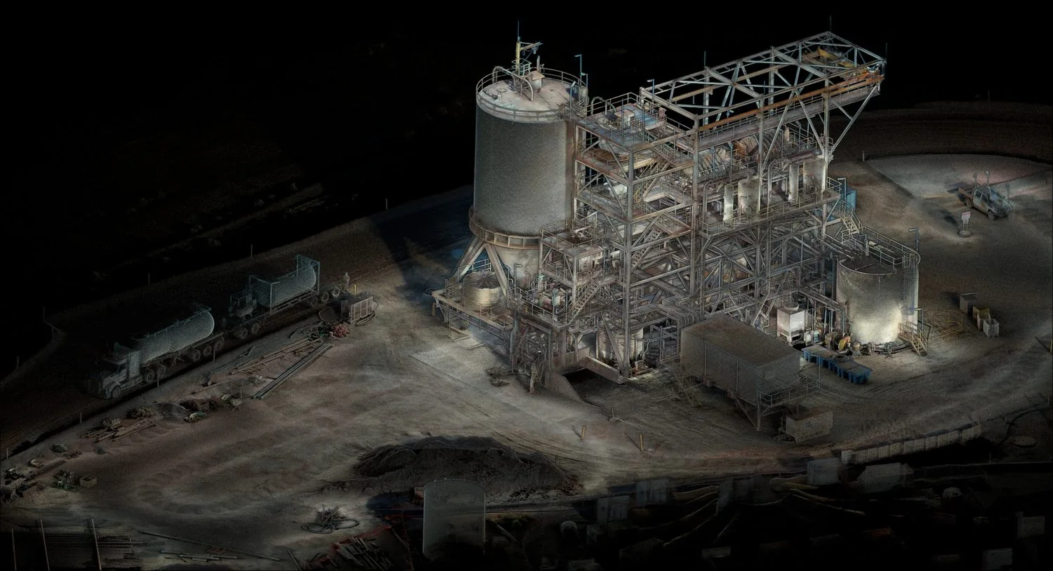
In a complex facility, a location described as “near the pipework” may be inadequate for a later investigation. A spatial record can connect an observation to the relevant structure and surrounding access routes. For decommissioning planning, that connection helps specialists organise evidence, compare surveys and identify where additional characterisation is needed.
What the research actually demonstrates
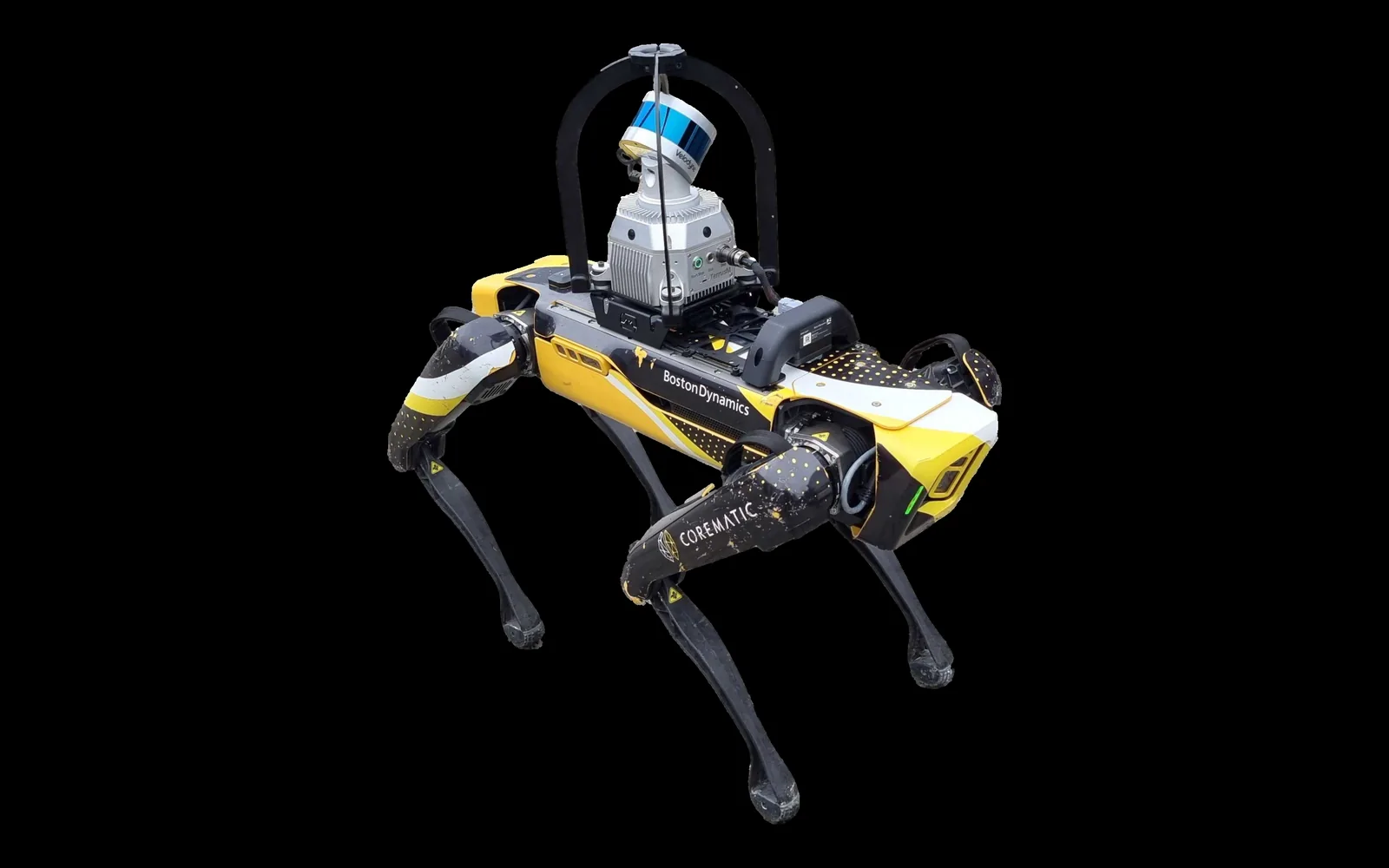
A 2021 robotics study integrates a radiation-related costmap with a navigation system using CSIRO’s SLAM technology. The robot could adjust its route around elevated readings. Crucially, the experiments used non-ionising surrogate sources in test environments. They demonstrate the navigation concept; they do not establish that the same setup is qualified for a particular radioactive facility.[1]
The LAMP research combines contextual sensing with radiation detectors to reconstruct three-dimensional source distributions. Demonstrations include an aerial test-source experiment and a handheld survey in Fukushima Prefecture. The important distinction is between measuring the surrounding scene and estimating the radiation distribution within it: they are related outputs with different measurement characteristics.[2]
Research on radiological drones separates scouting, radiation monitoring and detailed inspection. LiDAR and SLAM establish the spatial model, while other instruments provide radiation measurements and radionuclide information. This staged approach illustrates why a geometric mapping system alone cannot deliver a complete radiological assessment.[3]
Preserve the connection between sensor and scene
Our practical interpretation is that data provenance should be part of the project brief. A specialist reviewing the result needs to understand when the measurement was taken, which instrument produced it and how it was assigned a position. A detailed geometric surface can otherwise create an impression of certainty that the associated measurement does not support.
- Keep detector records and spatial observations identifiable in the final dataset.
- Document time alignment, positioning uncertainty and relevant measurement conditions.
- Distinguish measured samples from interpolated or reconstructed distributions.
- Record inaccessible and unobserved areas explicitly.
Design the handover around specialist decisions
Consider two inspections with different routes or measurement distances. A difference in their displayed values may reflect sampling conditions rather than a change at the facility. The handover should allow a qualified reviewer to inspect those conditions and the original observations. It should not present every coloured region as an equally direct measurement.
SLAM is valuable here as a spatial foundation for specialist work. Platform suitability, detector selection, access arrangements and radiological interpretation belong within the facility’s qualified engineering and radiation-protection processes. An AutoMap discussion can establish the geometric capture requirements and data interfaces without implying that an ordinary mapping scanner is itself a radiation instrument.
Sources & further reading
This original article draws on the research below. Practical recommendations are editorial synthesis; the cited studies are not performance claims for AutoMap products. Sources checked on 10 September 2026.
- 01Robotic Exploration of an Unknown Nuclear Environment Using Radiation Informed Autonomous Navigation
Robotics · 2021 · Journal article
- 02
- 03Radiological Scouting, Monitoring and Inspection Using Drones
Sensors · 2021 · Journal article