

One workspace. More answers.
Your point cloud.
Put to work.
Connect recordings. Understand surfaces. Check clearances. Explore the tools that turn captured geometry into practical decisions.
Explore the OrbisFuse toolkit.
8 features
Registration
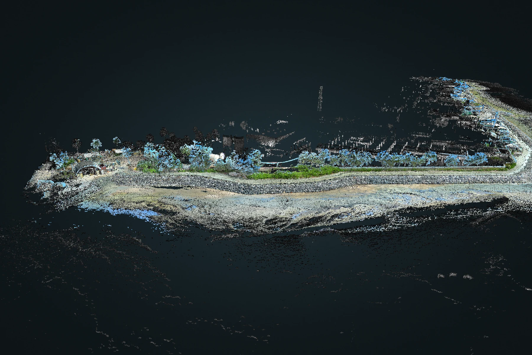
Atlas multi-map merge
Bring overlapping recordings into a shared spatial solution. Review the combined coverage while retaining the origin of each capture.
Explore Atlas multi-map merge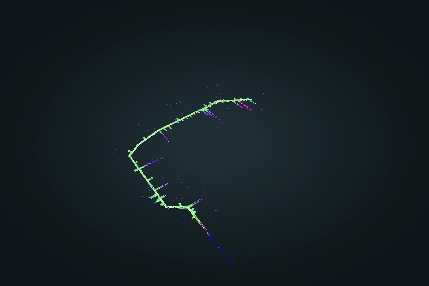
Comparison
Atlas change detection
Jointly align repeat surveys before comparing them. Atlas Merge connects the captures, then splits their outputs to retain the distinction between survey dates.
Explore Atlas change detection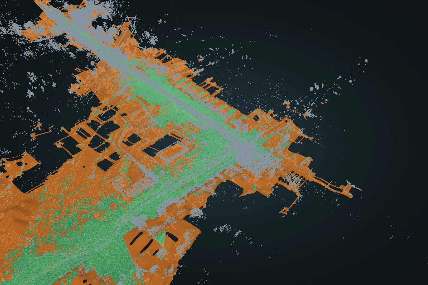
Terrain
Terrain DEM
Turn a full point cloud into a ground-oriented elevation surface. Inspect fitted ground and reconstructed estimates, then carry the surface into CAD or GIS.
Explore Terrain DEM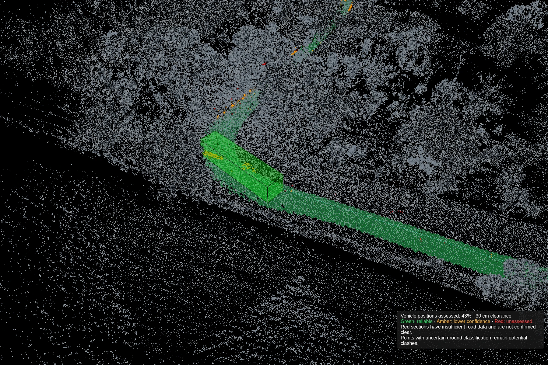
Clearance
Clash detection
Define vehicle dimensions, test the route against captured geometry and refine the path. Review road-surface support alongside potential intrusions.
Explore Clash detection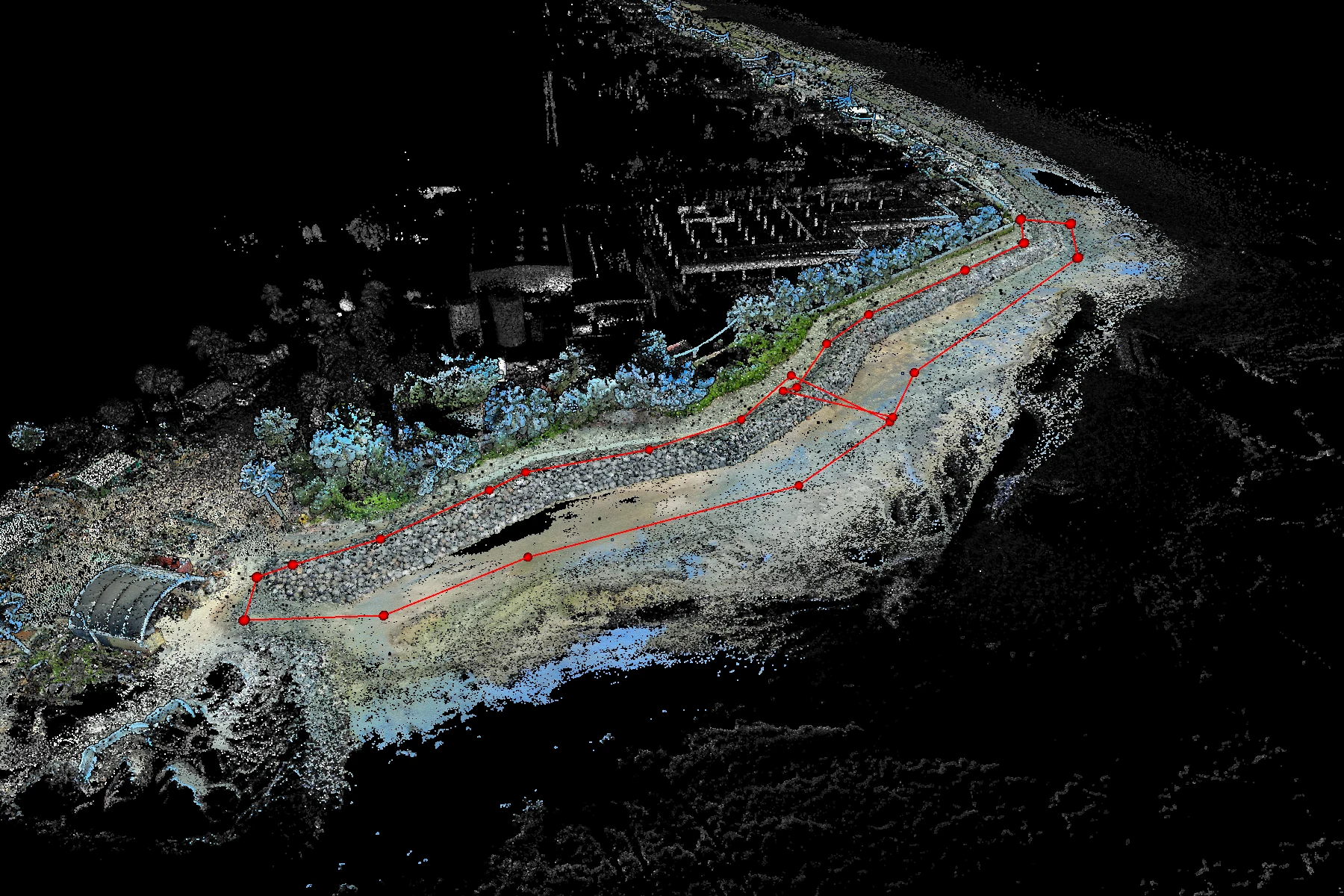
Measurement
Volumetrics
Draw an area, choose a reference base and calculate the volume between that base and the captured surface.
Explore Volumetrics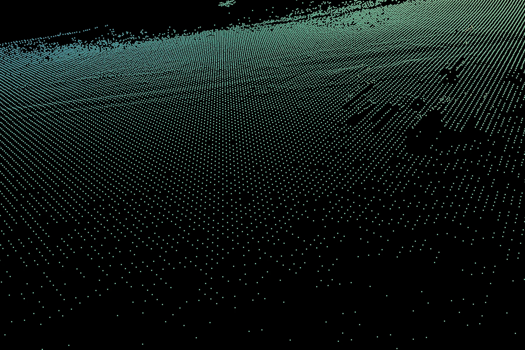
Terrain
Terrain gridding
Convert irregular survey returns into fitted terrain points at regular XY positions. Work across the recording or focus on a polygon.
Explore Terrain gridding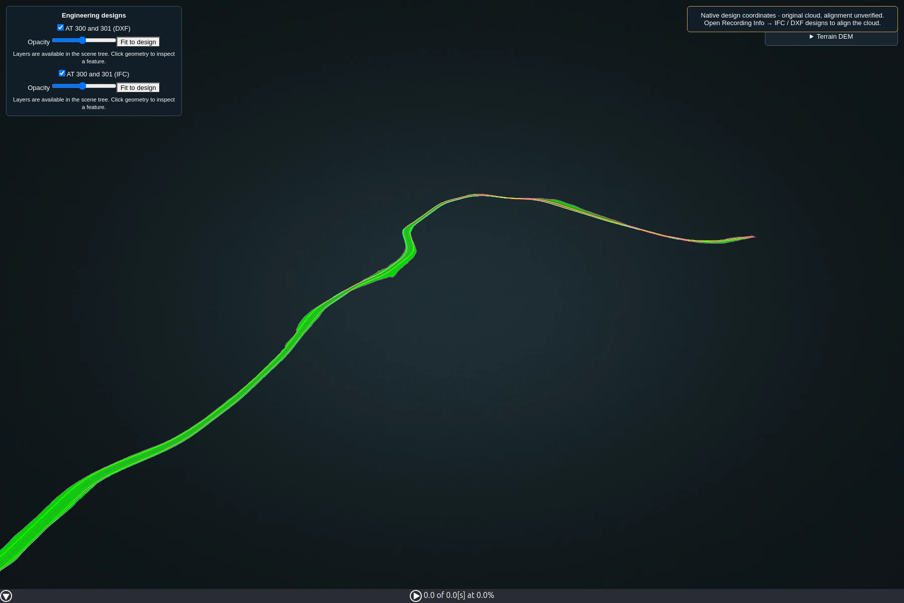
Design review
IFC & DXF design loading
Review engineering designs in the same 3D workspace as your survey. Control layer visibility and opacity to inspect geometry in context.
Explore IFC & DXF design loading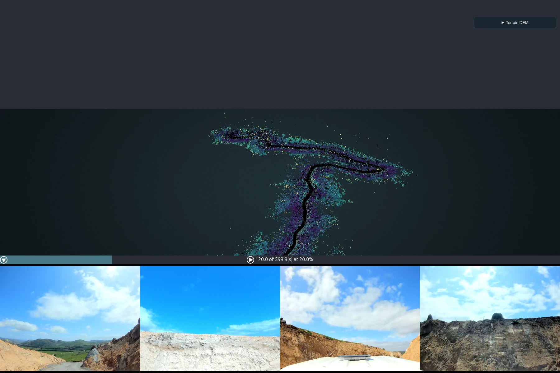
Visual context
360° imagery
Move through the recording by time and pose. Open any of the four camera images to inspect and save the full-resolution source image.
Explore 360° imagery