

Clearance / Clash detection
Find a clearer path.
Define vehicle dimensions, test the route against captured geometry and refine the path. Review road-surface support alongside potential intrusions.
Start with
A point cloud and trajectory in a consistent spatial reference, plus vehicle length, width and height.
Create
Potential clash points, assessed vehicle positions, road confidence and unassessed sections.
Why it matters
Explore whether a planned movement fits the surveyed environment before making decisions on site.
How clash detection works.
- 01
Define the vehicle envelope
Enter its full length, width and height, accounting for the geometry relevant to the movement.
- 02
Follow local road support
The calculation fits the road locally and places vehicle boxes at supported positions along the route.
- 03
Inspect potential clashes
Review intrusion points together with vehicle attitude, road confidence and assessed coverage.
- 04
Edit and calculate again
Move route controls around a constraint, rerun the calculation and inspect the updated result.
Read the result in context
Unassessed sections are not confirmed clear. The result depends on scan coverage, road support, sampling and the envelope supplied; it supports planning rather than certifying a safe movement.
Take the next step.
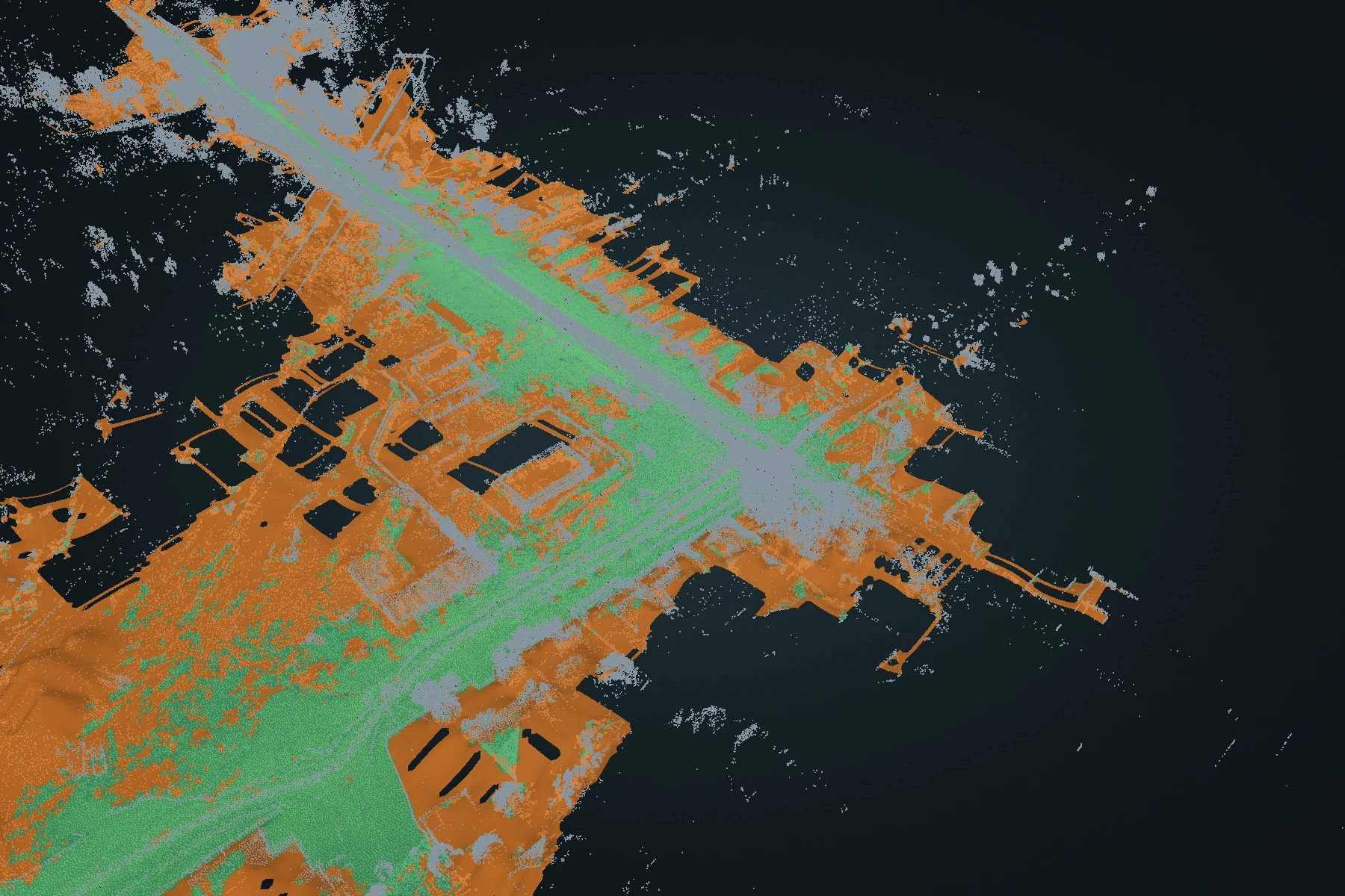
Terrain
Terrain DEM
Turn a full point cloud into a ground-oriented elevation surface. Inspect fitted ground and reconstructed estimates, then carry the surface into CAD or GIS.
Explore Terrain DEM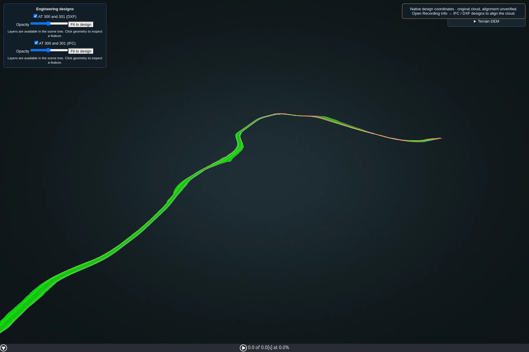
Design review
IFC & DXF design loading
Review engineering designs in the same 3D workspace as your survey. Control layer visibility and opacity to inspect geometry in context.
Explore IFC & DXF design loading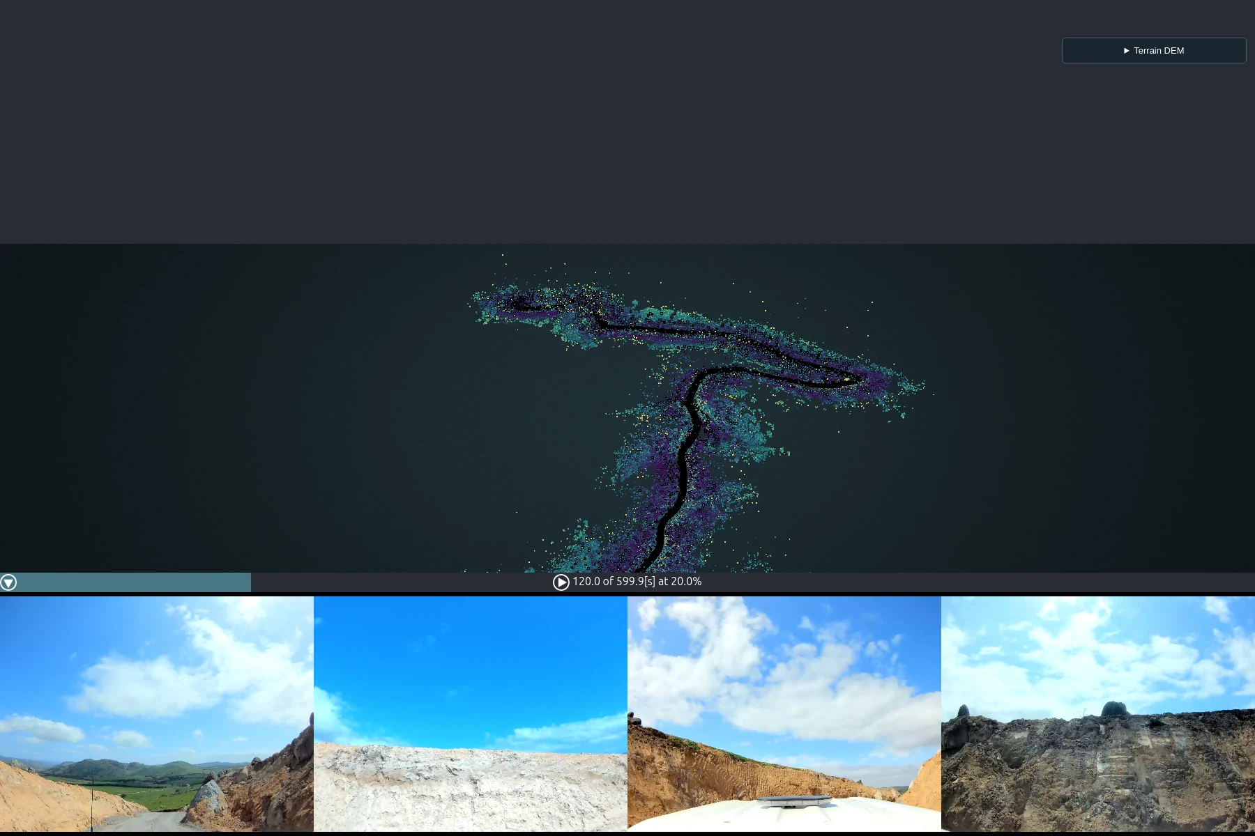
Visual context
360° imagery
Move through the recording by time and pose. Open any of the four camera images to inspect and save the full-resolution source image.
Explore 360° imagery