

Comparison / Atlas change detection
See change. Resolve drift.
Jointly align repeat surveys before comparing them. Atlas Merge connects the captures, then splits their outputs to retain the distinction between survey dates.
Start with
Baseline and repeat recordings with sufficient shared, stable geometry.
Create
Separate aligned survey products and a coloured change_map.las comparison.
Why it matters
Address differential drift along a connected route instead of repeatedly aligning short, independent comparison patches.
How atlas change detection works.
- 01
Capture a repeat survey
Maintain useful overlap and capture stable reference surfaces as well as the areas you expect to change.
- 02
Merge into one solution
Connect the recordings and optimise their trajectories together to address independently accumulated drift.
- 03
Split by recording
Export each recording's own observations from the shared solution. Survey identity and date separation are retained.
- 04
Calculate and interpret change
Generate the comparison, inspect change_map.las, and review coverage, noise and occlusion before interpreting differences.
Read the result in context
A shared local frame can reduce the need for control solely for relative alignment. Absolute georeferencing and independently verified accuracy may still require survey control. A joint solution does not guarantee zero residual error.
Take the next step.
Registration
Atlas multi-map merge
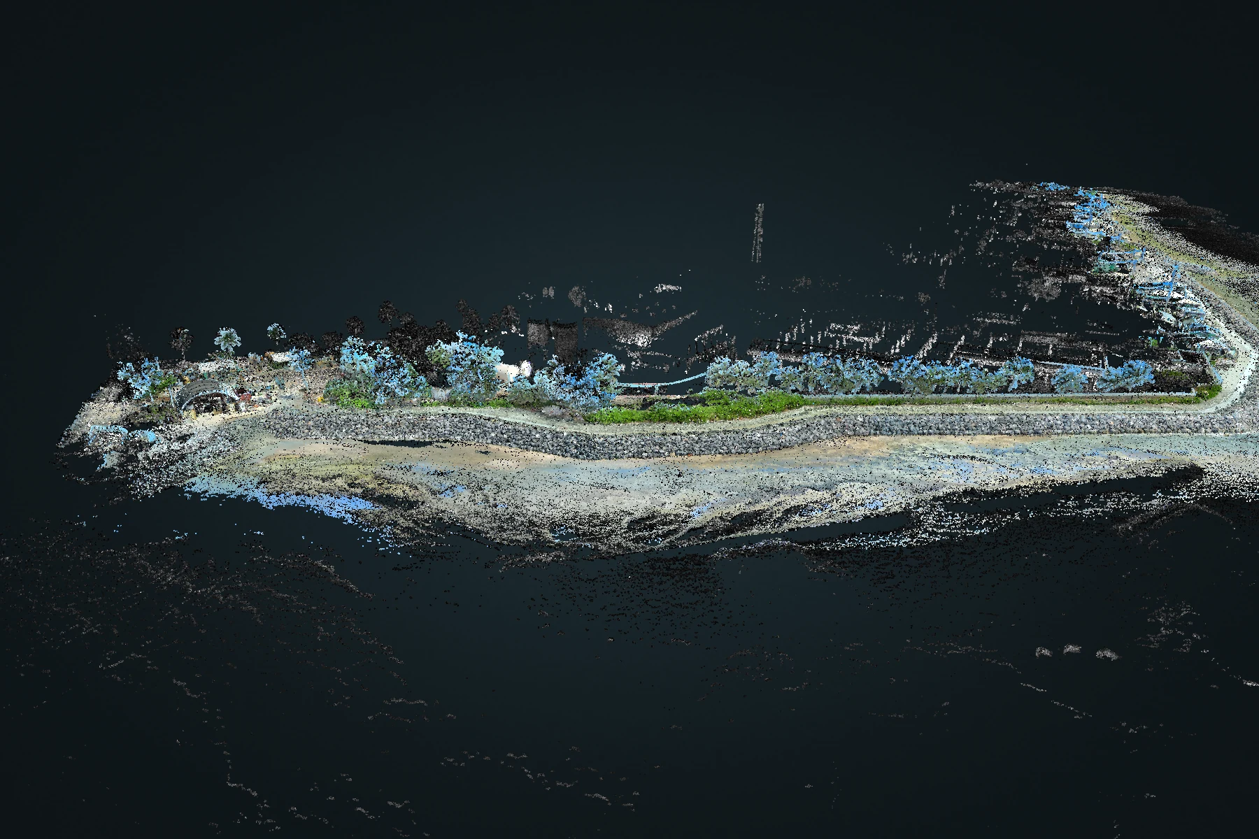
Bring overlapping recordings into a shared spatial solution. Review the combined coverage while retaining the origin of each capture.
Explore Atlas multi-map merge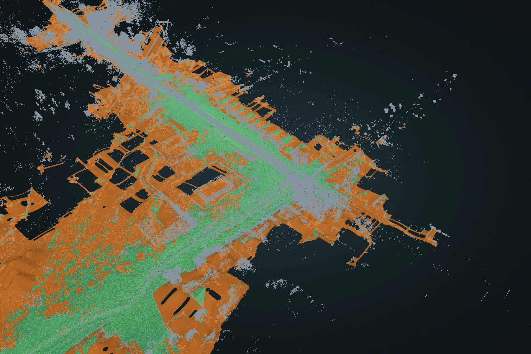
Terrain
Terrain DEM
Turn a full point cloud into a ground-oriented elevation surface. Inspect fitted ground and reconstructed estimates, then carry the surface into CAD or GIS.
Explore Terrain DEM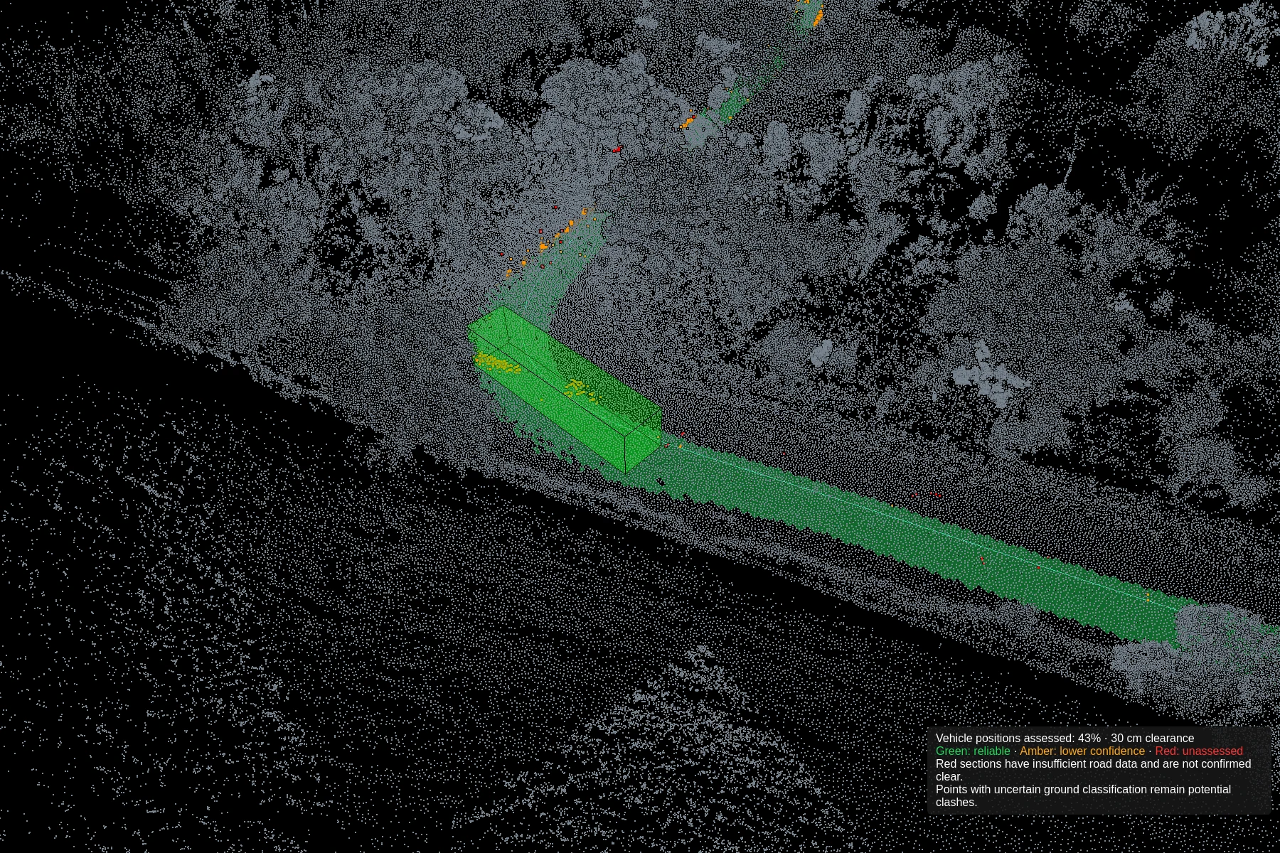
Clearance
Clash detection
Define vehicle dimensions, test the route against captured geometry and refine the path. Review road-surface support alongside potential intrusions.
Explore Clash detection