

About AutoMap
Built for the places that challenge you.
AutoMap develops SLAM mapping systems and connected software for underground, industrial, infrastructure and building environments.
From the field to a shared understanding.
Our focus is practical capture: moving through a real environment, preserving its geometry and visual context, and getting that information into the hands of the people who need it.
VellusX and TerrusM bring different sensor configurations to the same mapping workflow. OrbisFuse extends that workflow into processing, review, measurement and collaboration.
Australian innovation. Real-world applications.
AutoMap systems are powered by WildcatSLAM technology, co-developed with CSIRO. Our application library brings together examples from plant, underground, road, building, shaft and construction mapping.
We work with customers and distribution partners to match capture, processing and delivery to the project. Talk with us about the environment, expected outputs and how you will validate the result.
Meet your mapping setup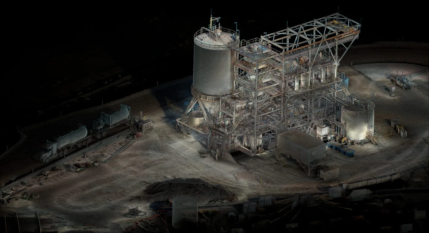
Working with teams who map what matters










Working with our partners
Our customer and partner network connects experience across mining, infrastructure, industry and spatial services. Contact us to discuss a relevant introduction or local distributor.