

Measurement / Volumetrics
Measure with context.
Draw an area, choose a reference base and calculate the volume between that base and the captured surface.
Start with
An analysis point cloud, a closed polygon and a selected base model.
Create
A calculated volume interpreted with its boundary, reference base and coverage.
Why it matters
Measure piles and earthworks using a footprint and base that reflect the actual question you need to answer.
How volumetrics works.
- 01
Draw the footprint
Place a closed polygon around the area. Inspect it in plan and oblique views and avoid crossed edges.
- 02
Choose the base
Use a perimeter drape, a fitted perimeter plane or a fixed elevation as appropriate to the site.
- 03
Calculate the surface difference
The server processes the area inside the boundary and evaluates the surface against the selected reference.
- 04
Review the assumptions
Keep the base choice, source, boundary and coverage with the result. Compare alternative bases when uncertainty matters.
Read the result in context
The buried underside is not directly observed by the scanner. Base selection can materially change the result. Verify the analysis source; visible point-cloud selection alone does not define it.
Take the next step.
Registration
Atlas multi-map merge
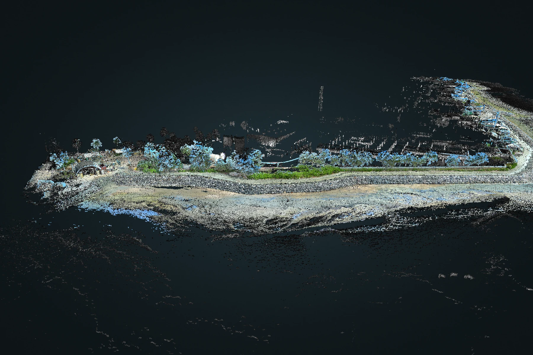
Bring overlapping recordings into a shared spatial solution. Review the combined coverage while retaining the origin of each capture.
Explore Atlas multi-map merge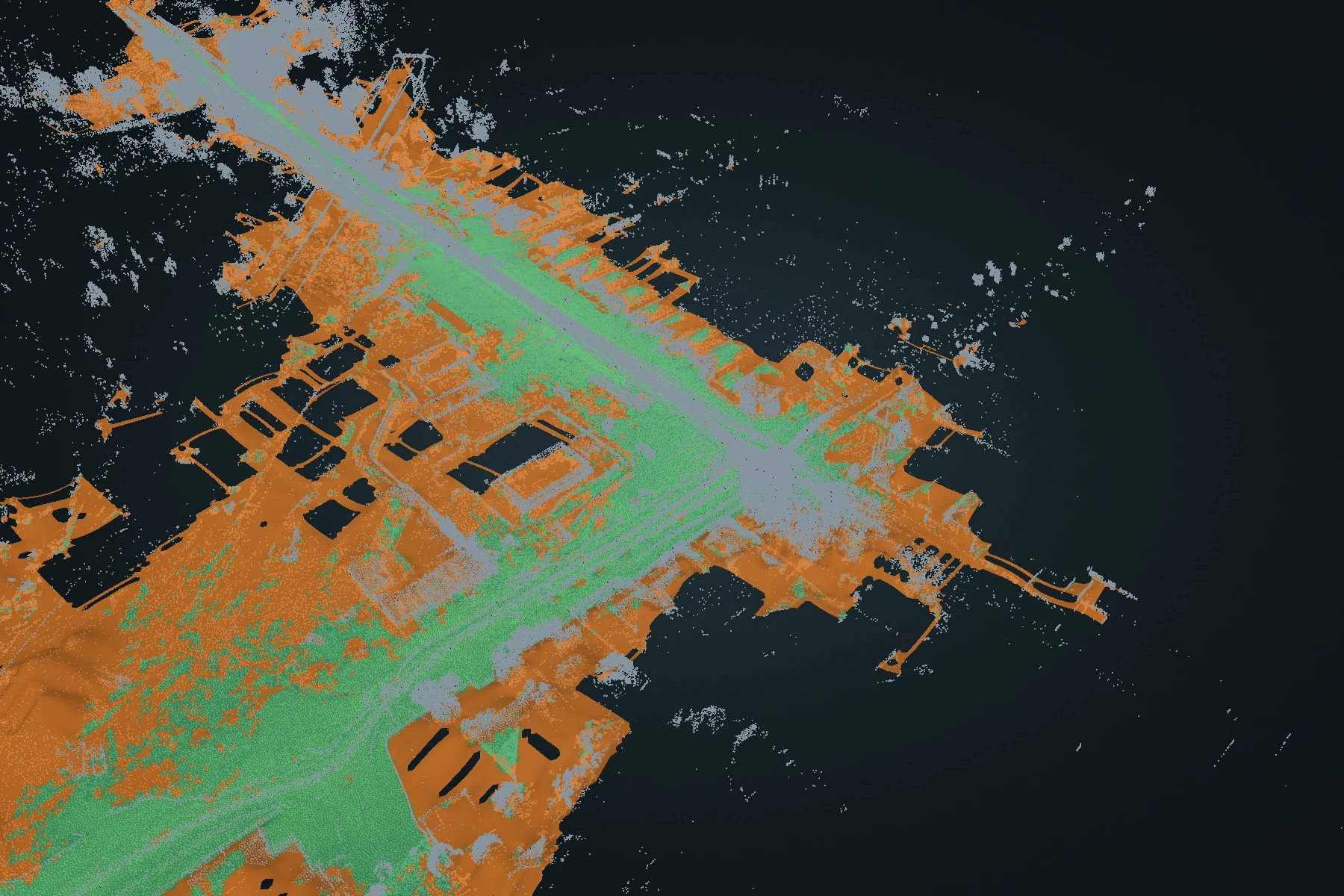
Terrain
Terrain DEM
Turn a full point cloud into a ground-oriented elevation surface. Inspect fitted ground and reconstructed estimates, then carry the surface into CAD or GIS.
Explore Terrain DEM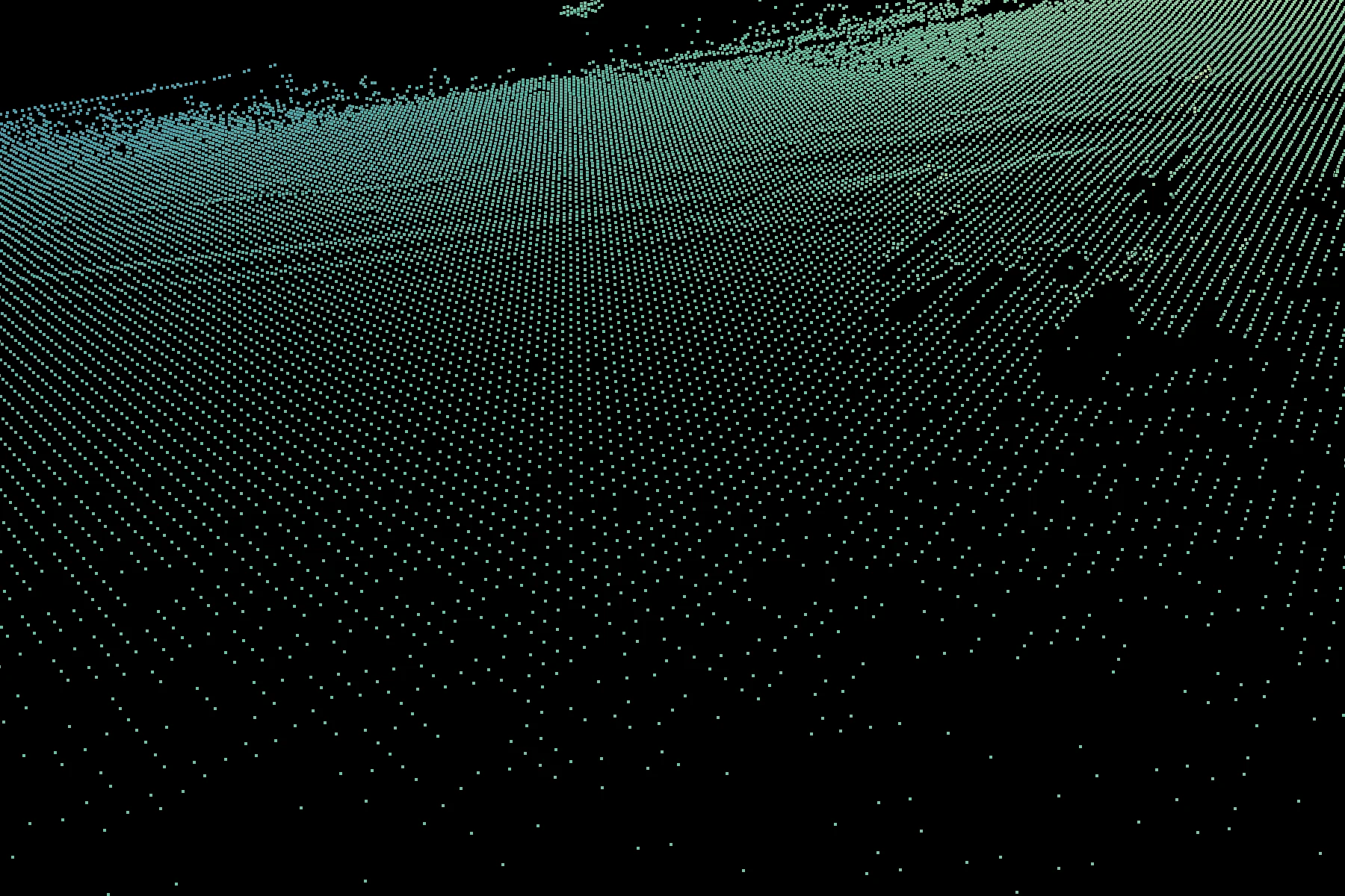
Terrain
Terrain gridding
Convert irregular survey returns into fitted terrain points at regular XY positions. Work across the recording or focus on a polygon.
Explore Terrain gridding