Confirm the destination
Ask which application will consume the result and agree formats, units, coordinate reference and the intended level of detail.
Choose the representation
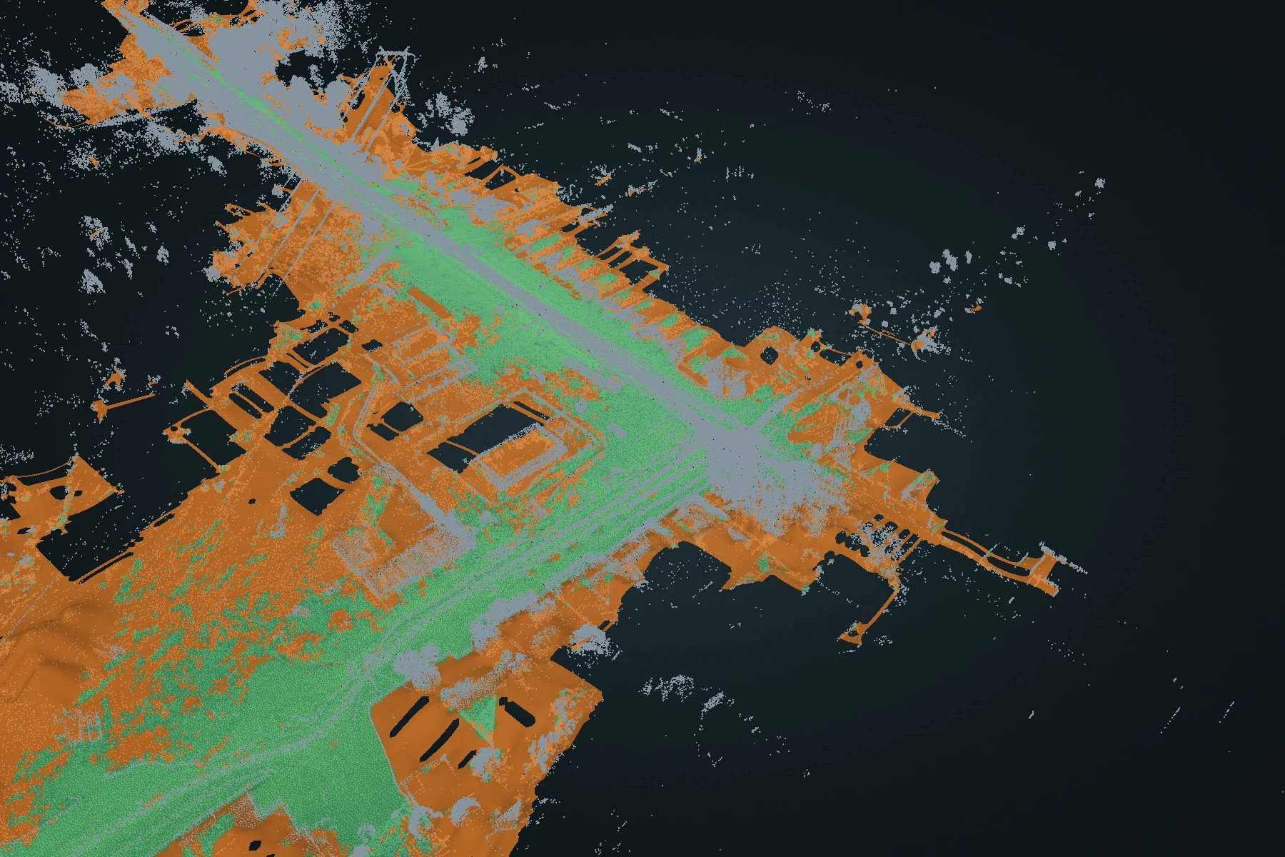
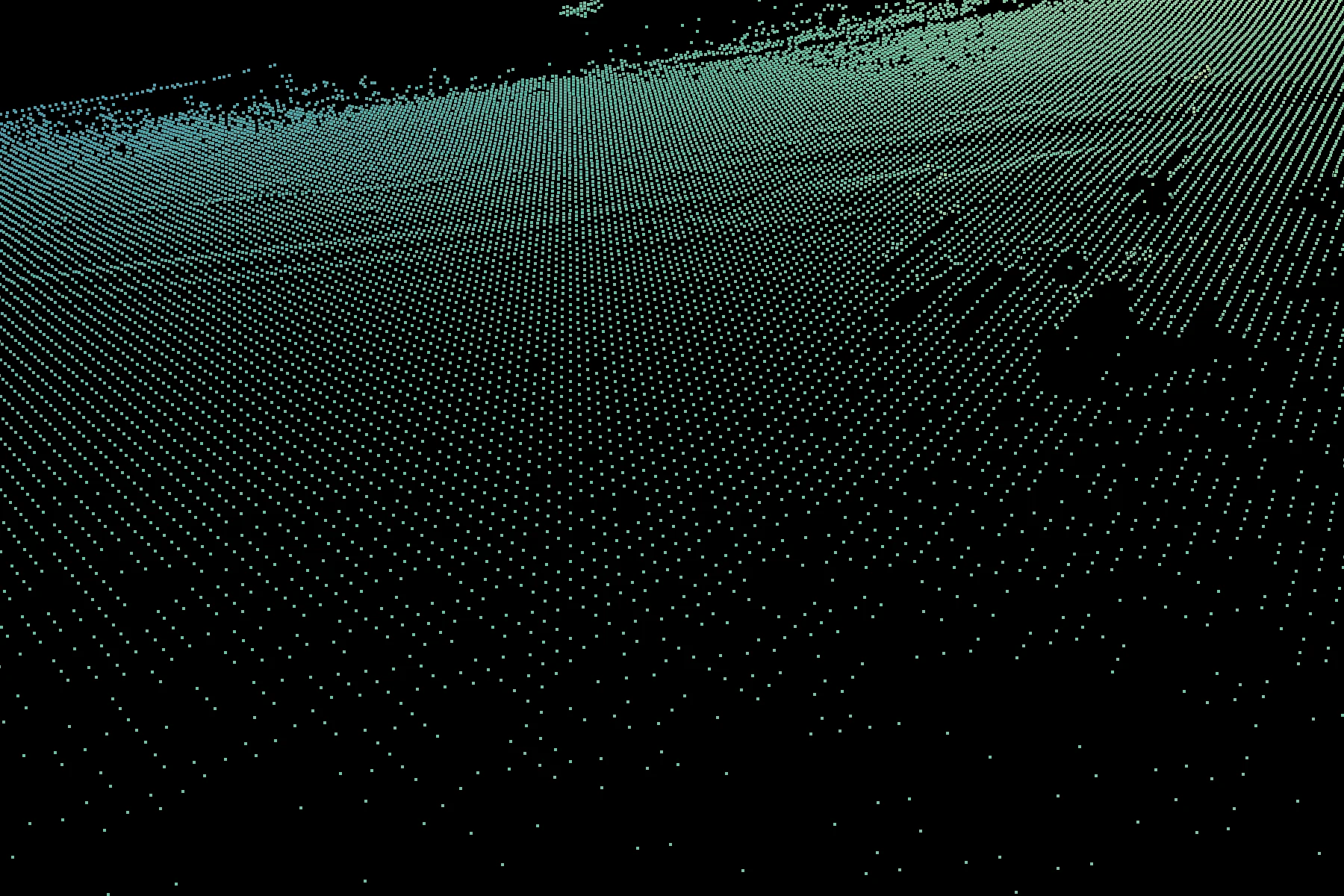
Use supported LAS or PLY point clouds for spatial observations. Use a terrain grid or DEM when the question needs a surface representation, and keep the source cloud available for context.
Document coordinates
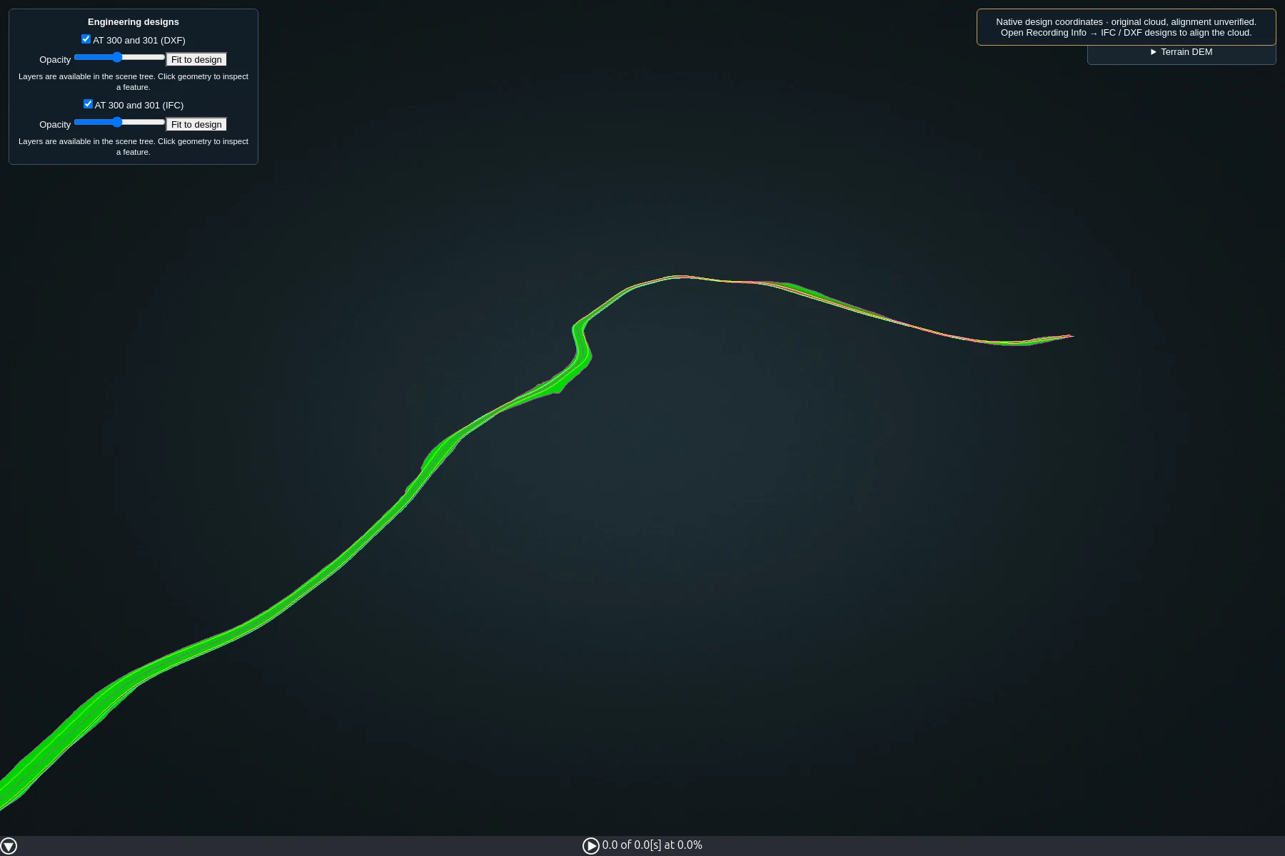
Record projected and vertical references where known, the local origin, any applied alignment and the units. An EPSG code alone may not fully describe the height system.
Verify the handover
Open a representative output in the receiving software. Check placement, dimensions, colours and coverage, then include a short manifest of files and processing context.