Start with the decision
Define the question the survey must answer: geometry, clearances, volume, terrain or change. Agree deliverables and an acceptance method before choosing a route.
Design a connected route
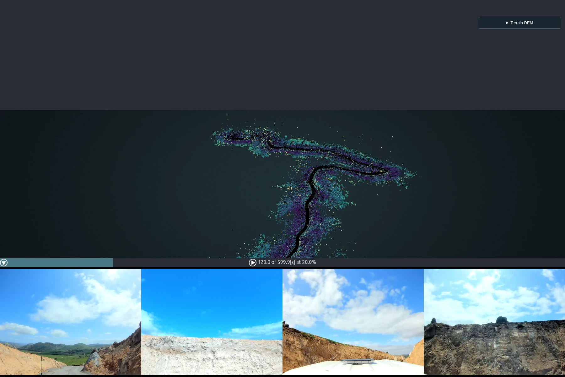
Include overlapping passes and distinctive stable features. Consider safe access, moving objects, lighting for imagery and transitions between open and confined spaces.
Separate detail from accuracy
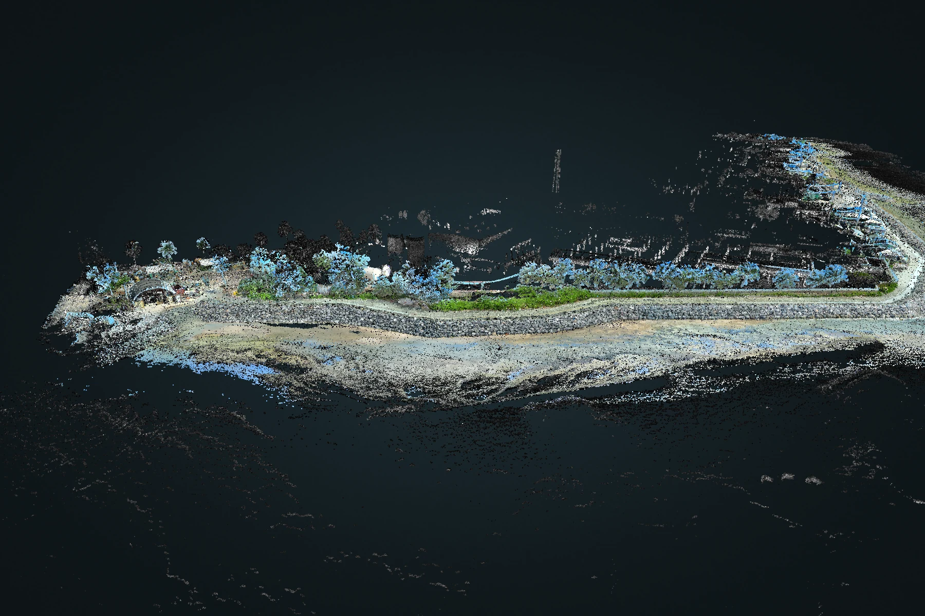
A dense or colourful point cloud can still have positional error. Define independent checks, and preserve survey control where the deliverable needs an external coordinate reference.
Keep the evidence
Retain original recordings, processing settings, coordinate information and a record of excluded or poorly observed areas. Review those limitations with the output.