

Plant digitization
Turn complex industrial facilities into navigable digital twins for maintenance, retrofit planning, and operator training.
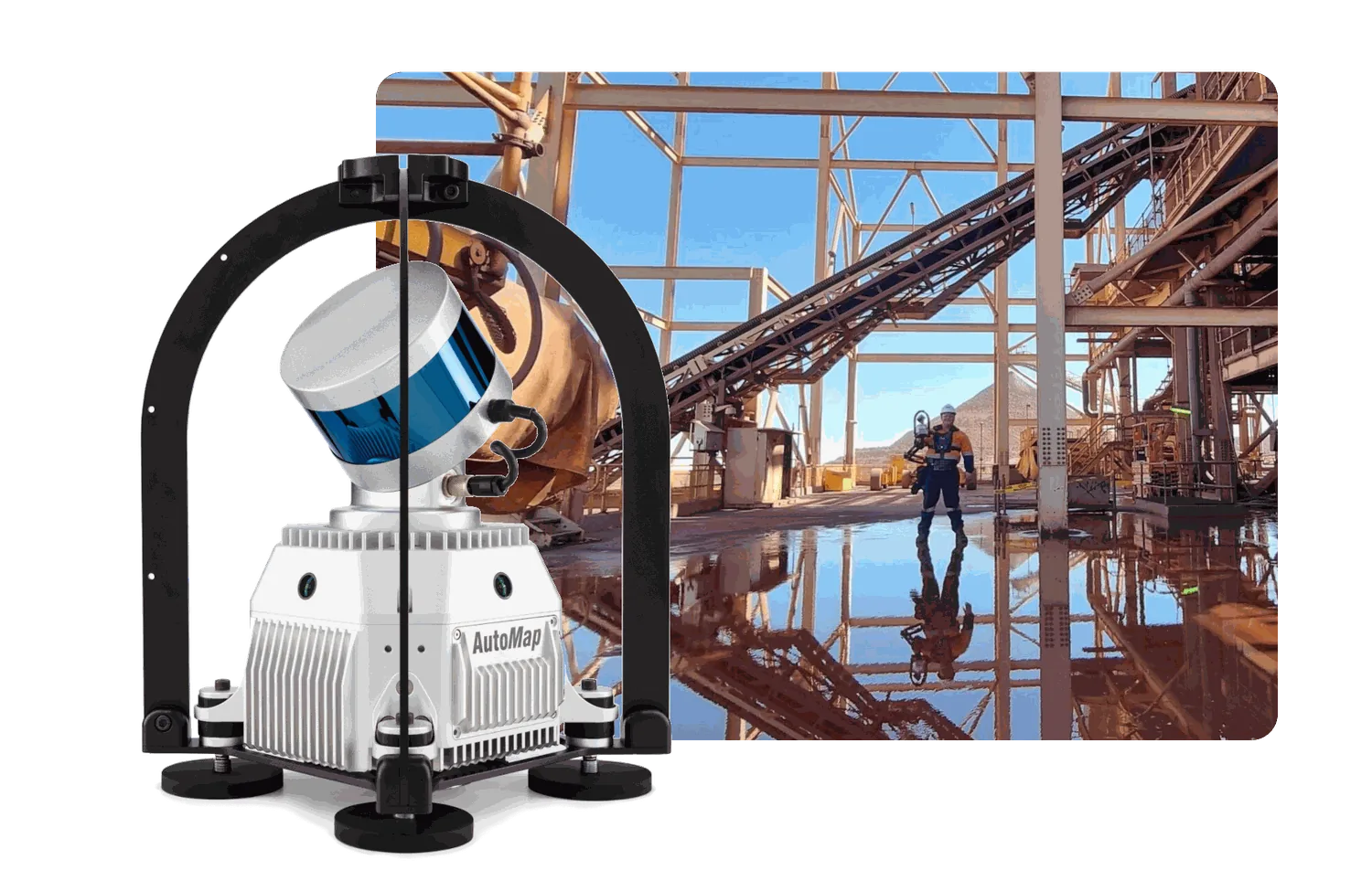
Plant digitization in action.
Explore other environments.
 01 / APPLICATION
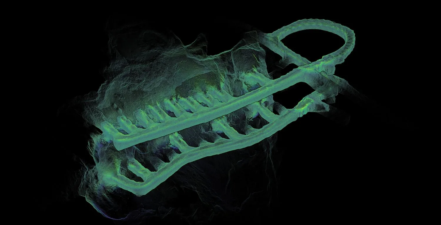
Underground mapping
Capture survey-grade maps in GPS-denied environments — mines, tunnels, and subterranean infrastructure — without sacrificing accuracy.
 02 / APPLICATION
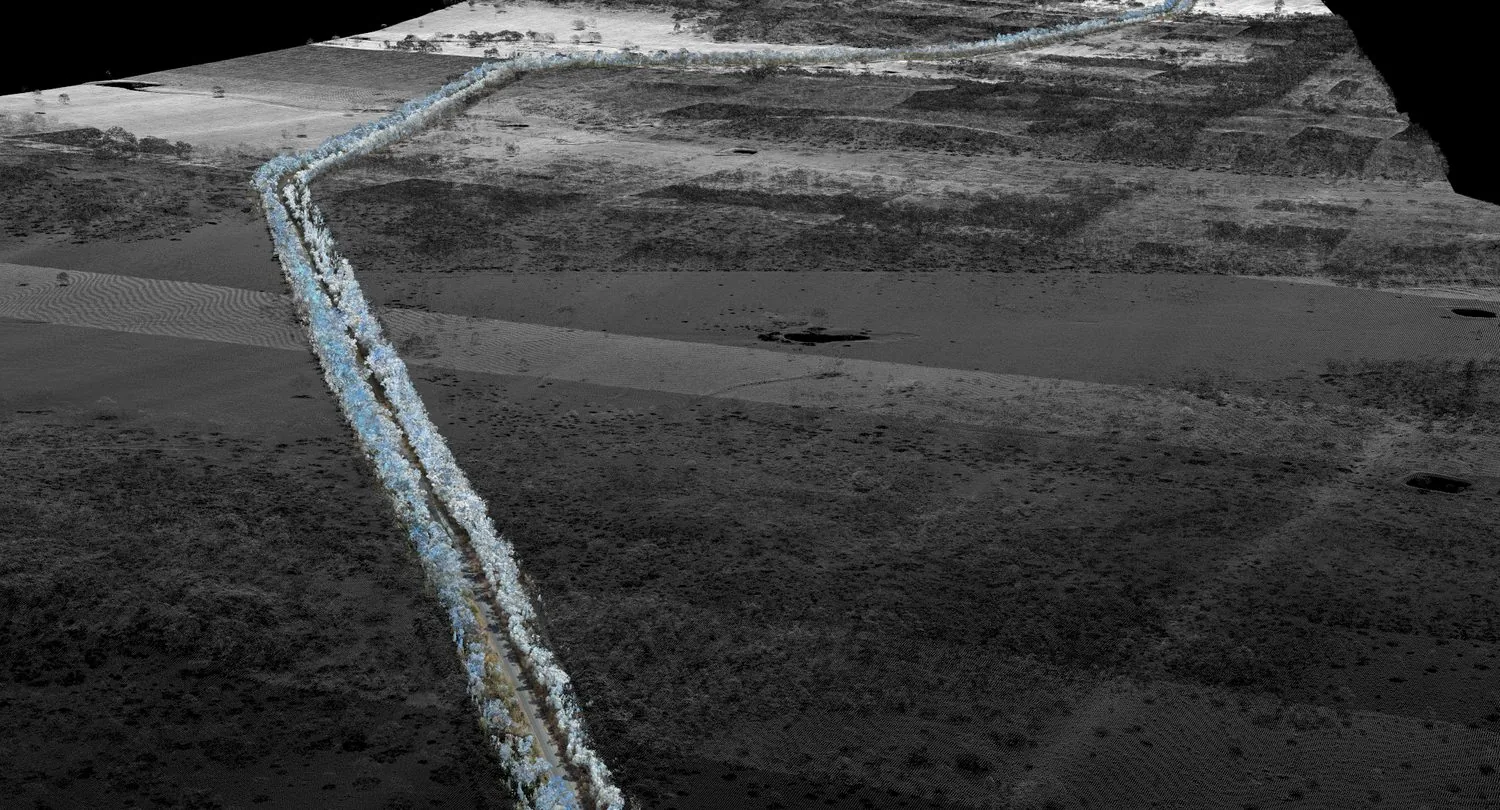
Road scanning
Mobile-mounted capture of road corridors with RTK and PPK GPS fusion for grid-aligned outputs and rapid coverage.
 03 / APPLICATION
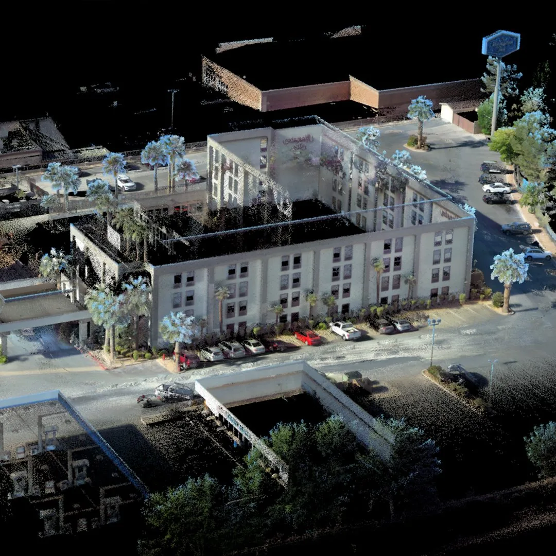
Building documentation
Walk through a structure once to produce a colourised point cloud suitable for BIM, facilities management, and as-built records.
 04 / APPLICATION
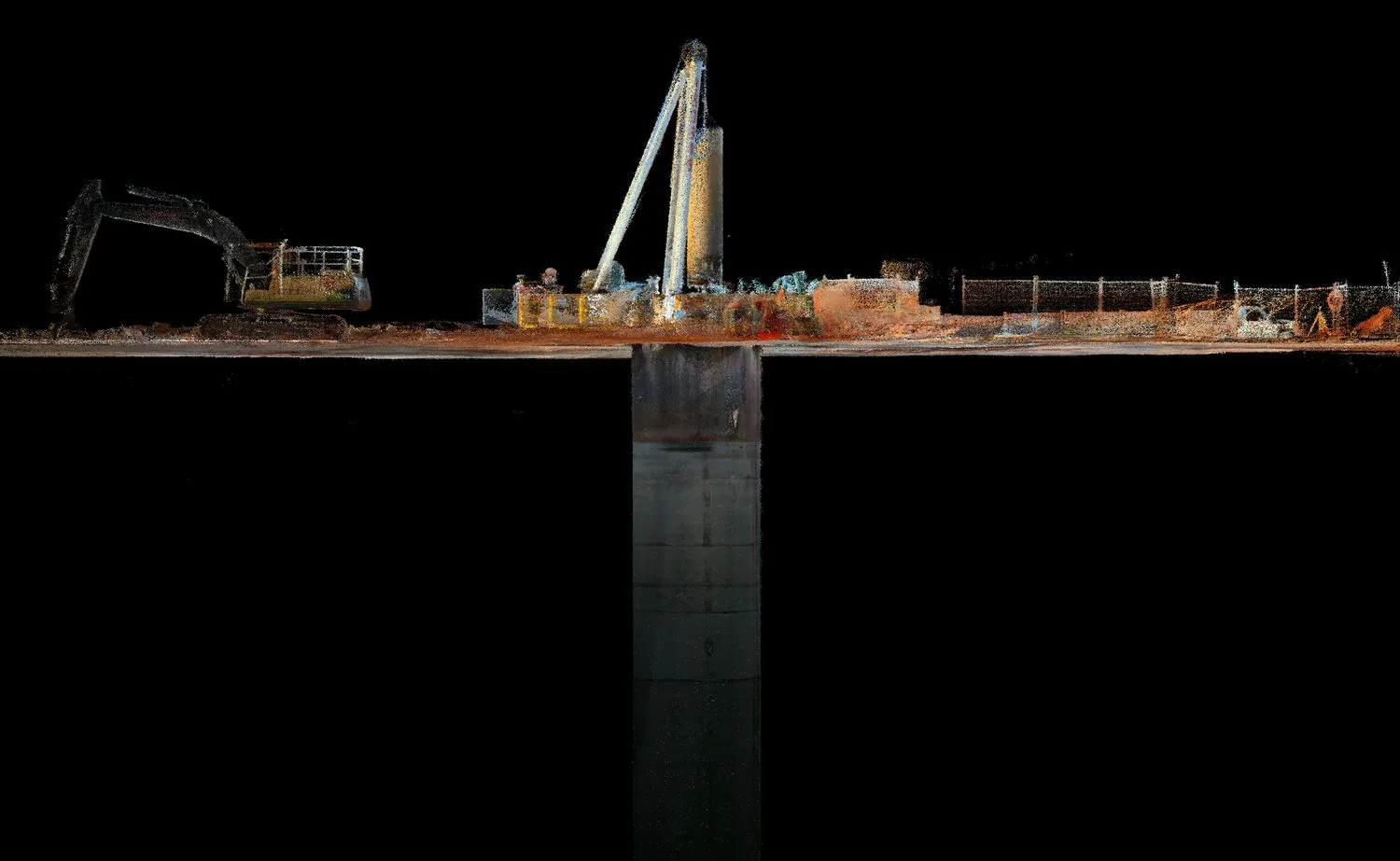
Shaft inspection
Lower the sensor pack into shafts, declines, and drawpoints to capture geometry where human access is unsafe or impractical.
 05 / APPLICATION
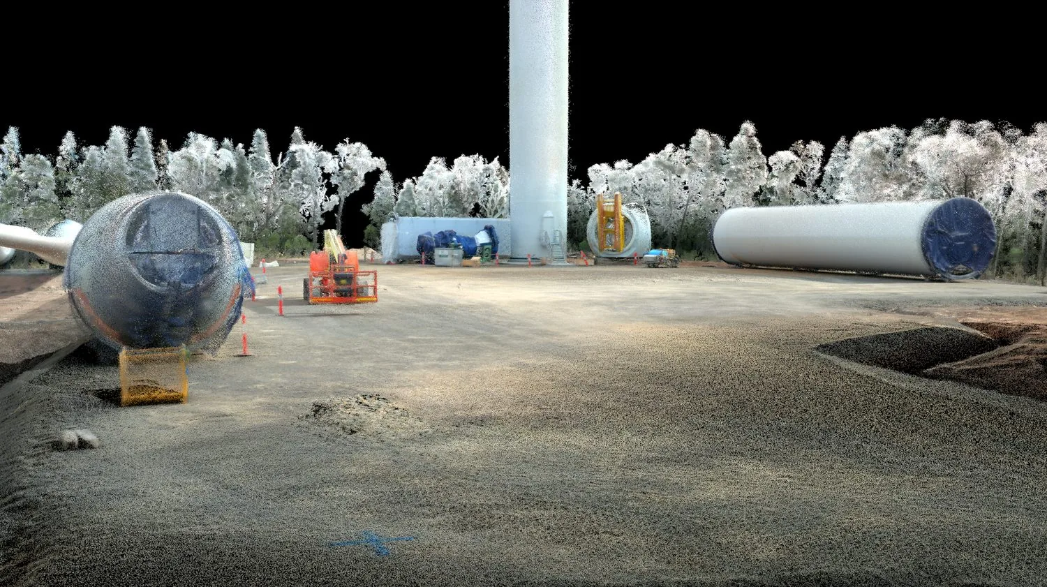
AEC
Architecture, engineering, and construction teams use AutoMap to verify progress against design and to share spatial data instantly.