

Building documentation
Walk through a structure once to produce a colourised point cloud suitable for BIM, facilities management, and as-built records.
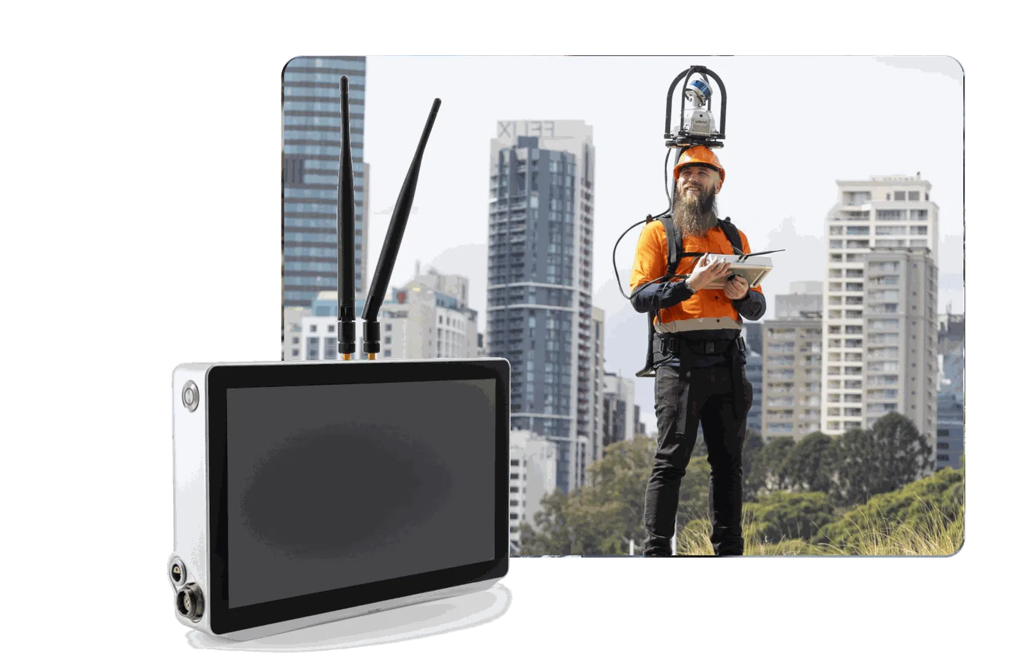
Building documentation in action.
Explore the processing tools.
Registration
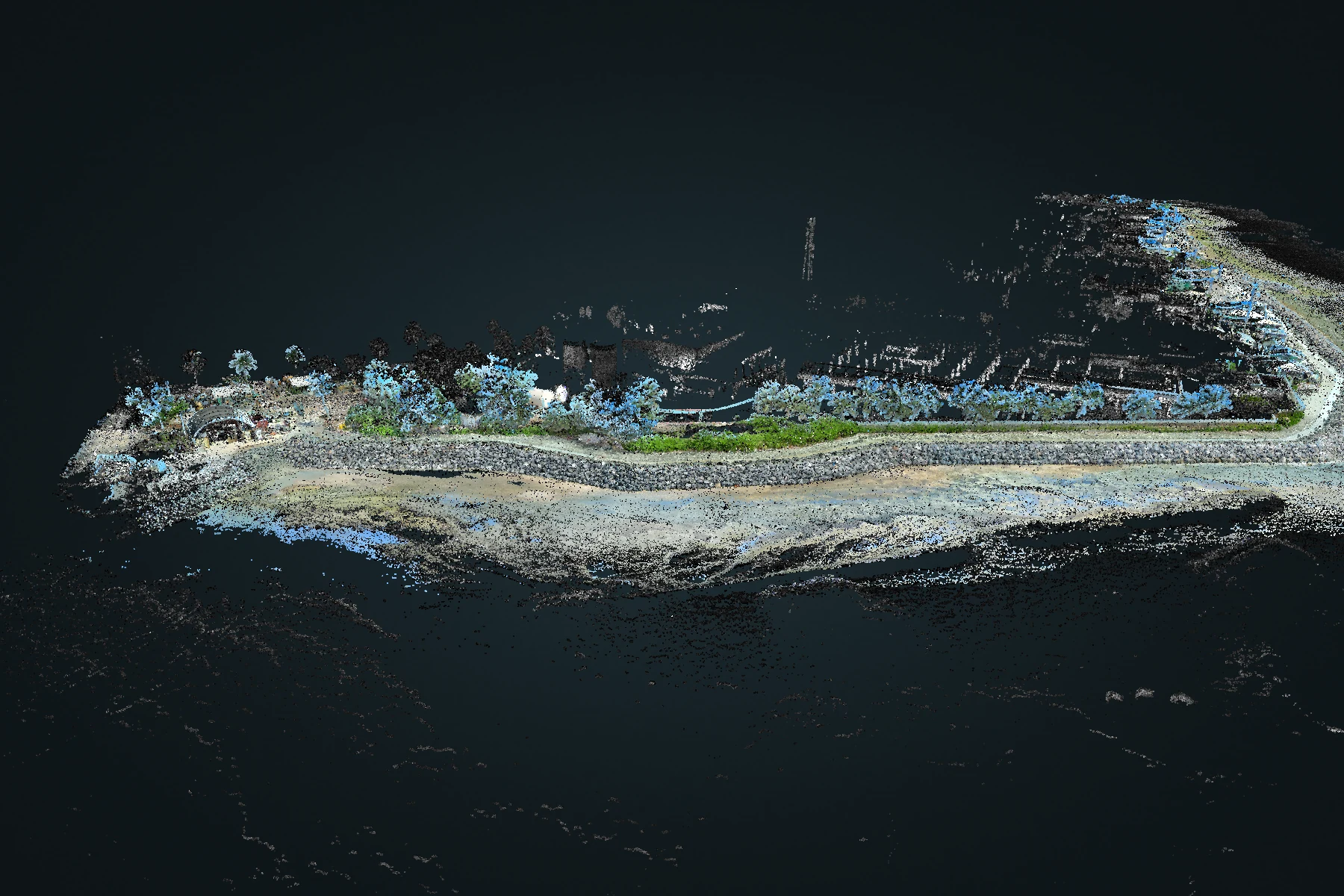
Atlas multi-map merge
Bring overlapping recordings into a shared spatial solution. Review the combined coverage while retaining the origin of each capture.
Explore Atlas multi-map merge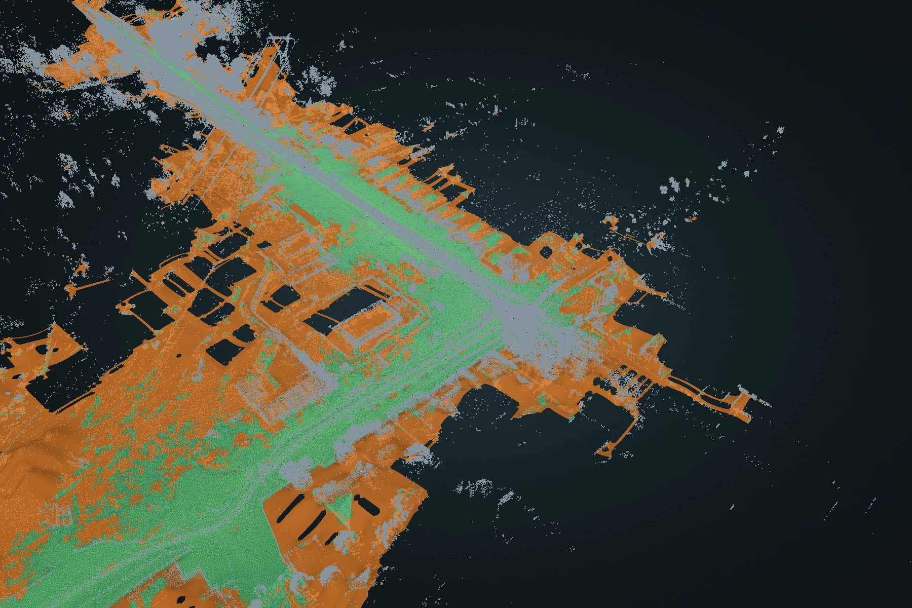
Terrain
Terrain DEM
Turn a full point cloud into a ground-oriented elevation surface. Inspect fitted ground and reconstructed estimates, then carry the surface into CAD or GIS.
Explore Terrain DEM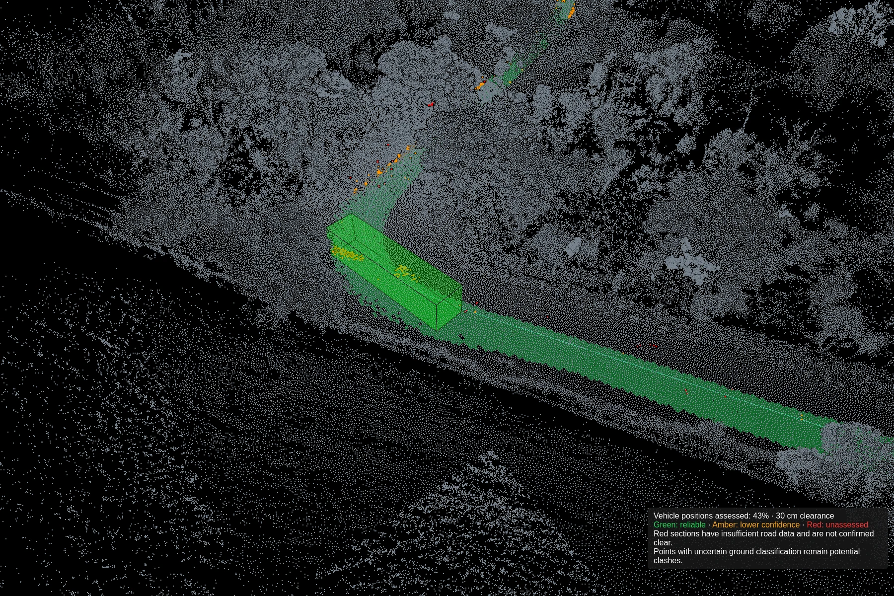
Clearance
Clash detection
Define vehicle dimensions, test the route against captured geometry and refine the path. Review road-surface support alongside potential intrusions.
Explore Clash detectionExplore other environments.
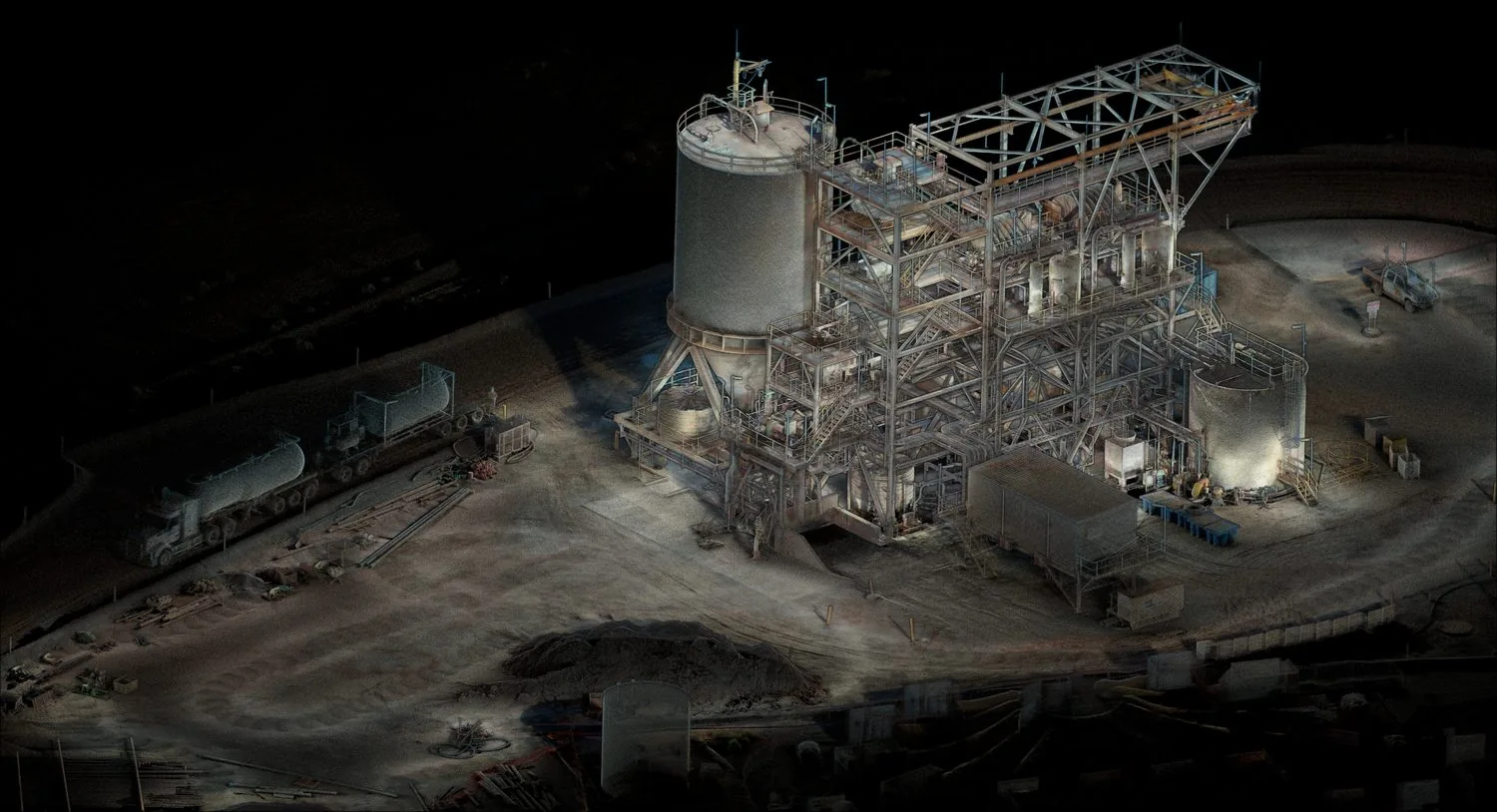 01 / APPLICATION
Plant digitization
Turn complex industrial facilities into navigable digital twins for maintenance, retrofit planning, and operator training.
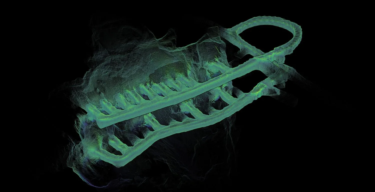 02 / APPLICATION
Underground mapping
Capture survey-grade maps in GPS-denied environments — mines, tunnels, and subterranean infrastructure — without sacrificing accuracy.
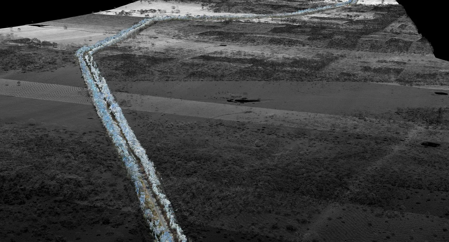 03 / APPLICATION
Road scanning
Mobile-mounted capture of road corridors with RTK and PPK GPS fusion for grid-aligned outputs and rapid coverage.
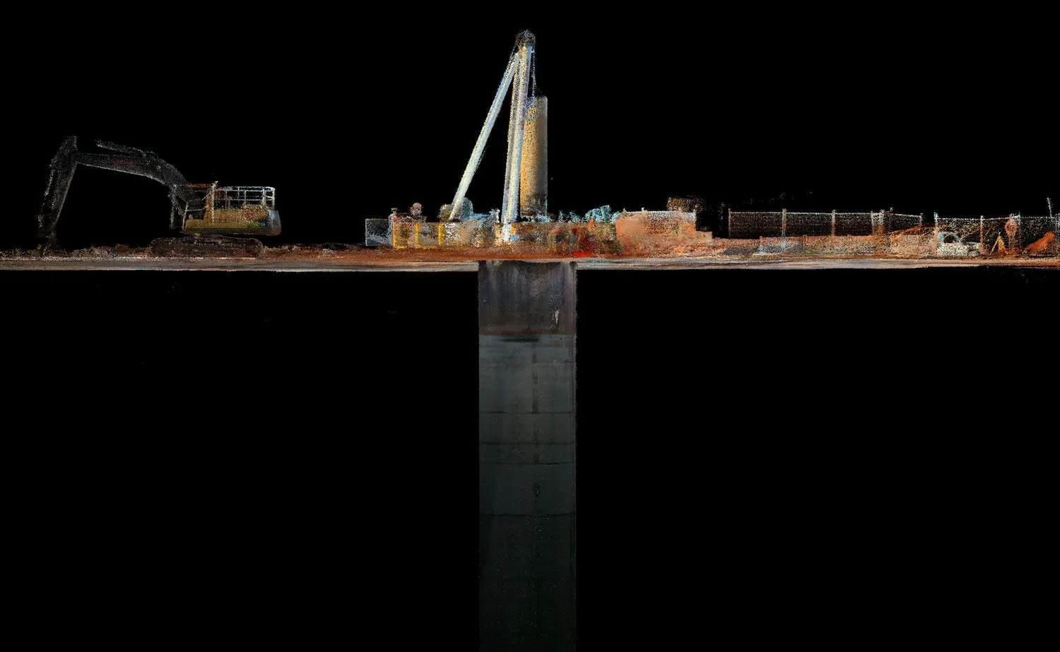 04 / APPLICATION
Shaft inspection
Lower the sensor pack into shafts, declines, and drawpoints to capture geometry where human access is unsafe or impractical.
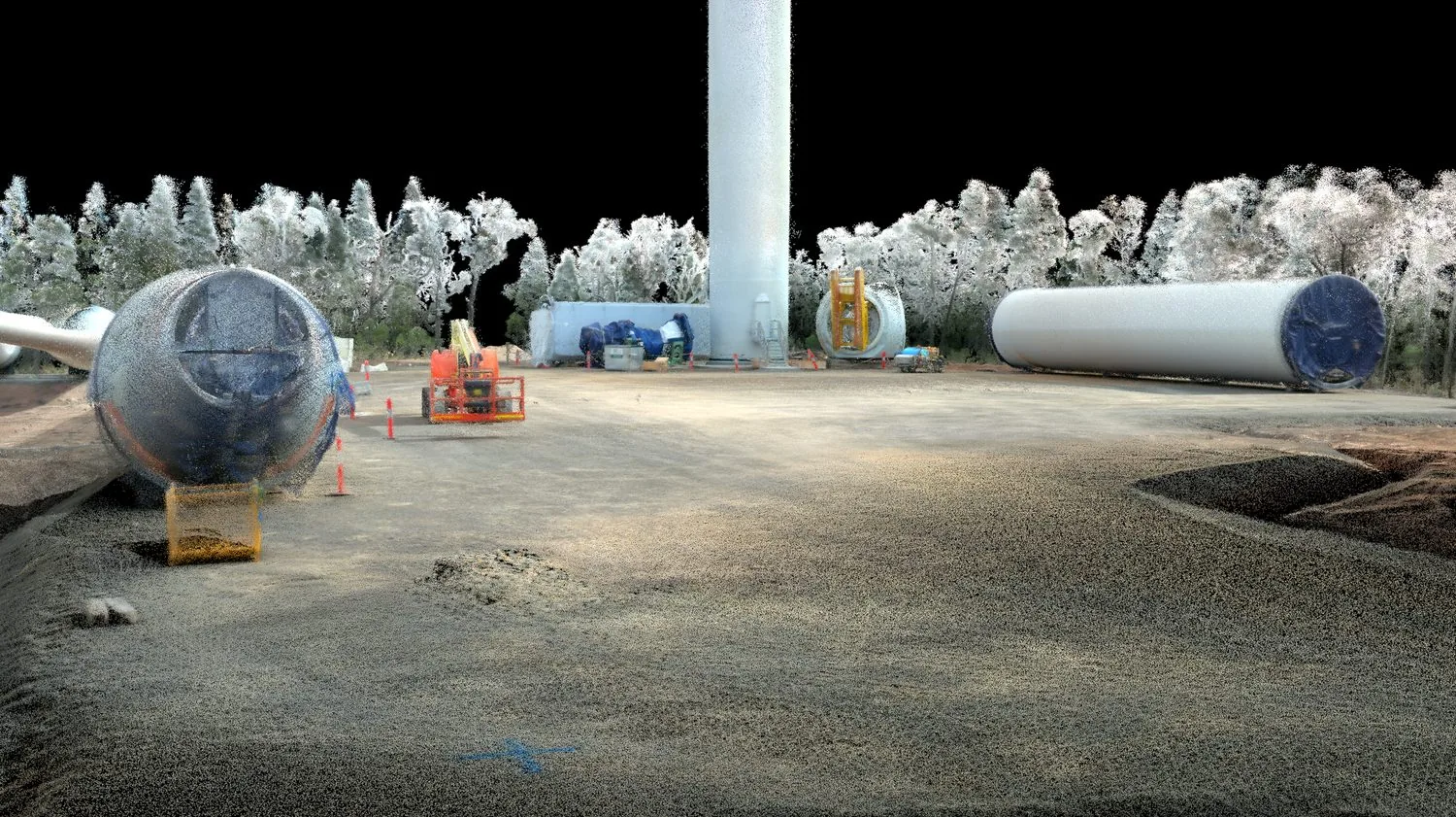 05 / APPLICATION
AEC
Architecture, engineering, and construction teams use AutoMap to verify progress against design and to share spatial data instantly.